
UPDATED 10/07/26 8:45 AM
Perfect weather will be in place for October baseball for Yankee fans. All eyes are on the Gulf as Tropical Storm Isaias brings remnant impacts to the region by Sunday night.
TODAY
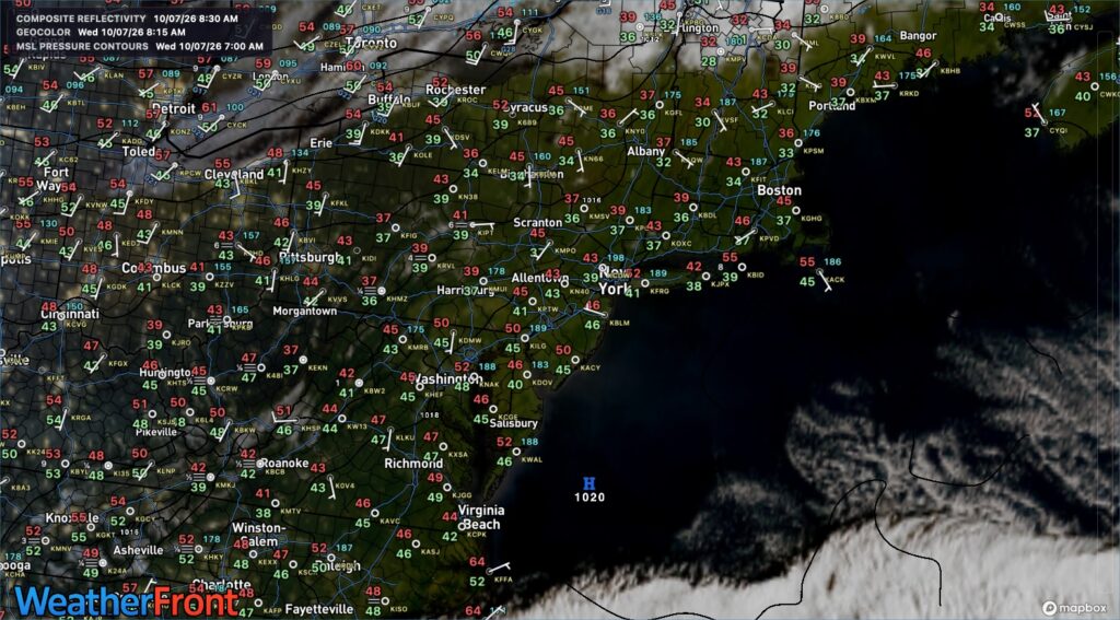
High pressure will produce clear skies. Winds will be from the southwest at 5 to 15 mph. High temperatures will range from the lower to mid-60s on Long Island and mid to upper 60s elsewhere.
TONIGHT
High pressure will shift offshore, with scattered clouds. Winds will be from the southwest at 5 to 15 mph. Low temperatures will range from the upper 40s to the lower 50s over the interior and the mid-to-upper 50s along the coast.
TOMORROW
High pressure will shift offshore, with scattered clouds. Winds will be from the southwest at 5 to 15 mph. High temperatures will range from the upper 60s to the lower 70s over the interior and Long Island, and the mid-to-upper 70s along the I-95 corridor.
TOMORROW NIGHT
High pressure will produce scattered clouds. Winds will be from the west at 5 to 15 mph. Low temperatures will range from the lower to mid-40s over the interior, upper 40s to lower 50s in the suburbs, and lower to mid-50s in urban areas.
FRIDAY
High pressure will produce scattered clouds. Winds will be from the west at 5 to 15 mph. High temperatures will range from the mid to upper 60s over the interior and Long Island and upper 60s to lower 70s along the I-95 corridor.
SATURDAY
High pressure will produce scattered clouds. Winds will veer to the east at 1 to 5 mph. Low temperatures will range from the lower to mid-40s over the interior, upper 40s to lower 50s in the suburbs, and lower to mid-50s in urban areas. High temperatures will range from the mid to upper 60s over the interior and Long Island and upper 60s to the lower 70s along the I-95 corridor.
SUNDAY
High pressure will shift northeast, bringing increasing clouds. Rain will develop in the evening. Low temperatures will range from the lower to mid-50s. High temperatures will range from the lower to mid-60s over the interior and mid to upper 60s along the coast.
MONDAY
A low-pressure area will produce periods of rain. Low temperatures will range from the upper 50s to lower 60s over the interior and lower to mid-60s along the coast. High temperatures will range from the upper 60s to the lower 70s over the interior and Long Island, and the lower to mid-70s along the I-95 corridor.
TUESDAY
A cold front will produce variable clouds and scattered showers. Low temperatures will range from the lower to mid-50s over the interior and upper 50s to lower 60s along the coast. High temperatures will range from the mid-to-upper 60s over the interior and the lower- to mid-70s along the coast.
WEDNESDAY
High pressure will produce scattered clouds. Low temperatures will range from the lower to mid-30s over the interior, mid to upper 30s in the suburbs, and lower to mid-40s in urban areas and along the immediate coast. High temperatures will range from the upper 40s to lower 50s over the interior, lower to mid-50s on Long Island, and mid to upper 50s along the I-95 corridor.


