
UPDATED 08/04/26 8:51 AM
Excellent weather today will give way to a new tropical weather pattern for the rest of the week and weekend. Thunderstorms each afternoon and evening will feature the potential for torrential downpours and frequent lightning, but most storms will stay below severe levels.
TODAY
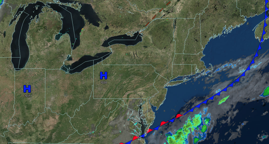
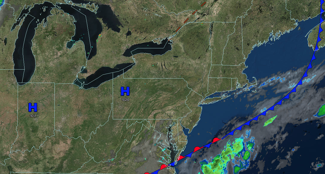
High pressure will produce scattered clouds. Winds will be from the east at around 5 mph. High temperatures will range from the upper 70s to the lower 80s over the interior and from the lower to mid-80s along the coast.
TONIGHT
High pressure will produce scattered clouds. Winds will be from the east at around 5 mph. Low temperatures will range from the lower to mid-60s over the interior, mid to upper 60s in the suburbs, and upper 60s to lower 70s in urban areas.
TOMORROW
A warm front and an area of low pressure will produce increasing cloud cover and isolated showers and thunderstorms. Winds will be from the east at 1 to 5 mph. High temperatures will range from the upper 70s to lower 80s.
TOMORROW NIGHT
The warm front will lift northward with variable clouds, isolated thunderstorms, and muggy conditions. Winds will veer to the southwest at 1 to 5 mph. Low temperatures will range from the upper 60s to the lower 70s over the interior and from the lower to mid-70s along the coast.
THURSDAY
A cold front will approach the region with widely scattered showers and thunderstorms by the late afternoon and evening. Winds will be from the southwest at 5 to 15 mph. High temperatures will range from the lower to mid-80s over the interior, New York City metropolitan area, and Long Island, and mid to upper 80s in the Philadelphia metropolitan area.
FRIDAY
A stalled cold front will produce morning low clouds and afternoon widely scattered showers and thunderstorms. Winds will be from the southwest at 5 to 10 mph. Low temperatures will range from the mid to upper 60s over the interior and from the lower to mid-70s along the coast. High temperatures will range from the upper 70s to the lower 80s over the interior, the lower to mid-80s on Long Island, and the mid to upper 80s on the I-95 corridor.
SATURDAY
A stalled cold front will produce morning low clouds and afternoon widely scattered showers and thunderstorms. Low temperatures will range from the mid to upper 60s over the interior and from the lower to mid-70s along the coast. High temperatures will range from the lower to mid-80s over the interior, New York City metropolitan area, and Long Island, and mid to upper 80s in the Philadelphia metropolitan area.
SUNDAY
A stalled cold front will produce morning low clouds and afternoon widely scattered showers and thunderstorms. Low temperatures will range from the mid to upper 60s over the interior and from the lower to mid-70s along the coast. High temperatures will range from the lower to mid-80s over the interior, New York City metropolitan area, and Long Island, and mid to upper 80s in the Philadelphia metropolitan area.
MONDAY
A stalled cold front will produce morning low clouds and afternoon widely scattered showers and thunderstorms. Low temperatures will range from the mid to upper 60s over the interior and from the lower to mid-70s along the coast. High temperatures will range from the lower to mid-80s over the interior and Long Island, mid to upper 80s in the New York City metropolitan area, and upper 80s to lower 90s in the Philadelphia metropolitan area.
TUESDAY
A stalled cold front will produce morning low clouds and afternoon widely scattered showers and thunderstorms. Low temperatures will range from the mid to upper 60s over the interior and from the lower to mid-70s along the coast. High temperatures will range from the lower to mid-80s over the interior and Long Island, mid to upper 80s in the New York City metropolitan area, and upper 80s to lower 90s in the Philadelphia metropolitan area.


