


UPDATED 08/01/26 9:51 AM
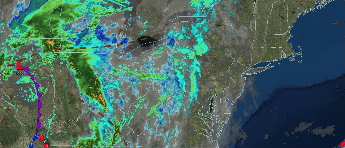
A weak trough will keep an isolated shower threat in the forecast through the weekend. A more significant rainfall threat will develop for the start of next week.
TODAY
A trough will produce scattered clouds and isolated showers. Winds will be from the south at 5 to 10 mph. High temperatures will range from the lower to mid-80s over the interior and Long Island, mid to upper 80s in the New York City metropolitan area, and upper 80s to lower 90s in the Philadelphia metropolitan area.
TONIGHT
A trough will produce scattered clouds and isolated showers. Winds will be from the south at 5 to 10 mph. Low temperatures will range from the mid- to upper 60s over the interior to the lower to mid-70s along the coast.
TOMORROW
A trough will produce scattered clouds and isolated showers. Winds will be from the south at 5 to 10 mph. High temperatures will range from the upper 70s to the lower 80s over the interior and Long Island, and from the mid to upper 80s along the I-95 corridor.
TOMORROW NIGHT
An area of low pressure and approaching warm front will produce overcast skies, periods of rain, and drizzle. Winds will be from the south at 5 to 10 mph. Low temperatures will range from the upper 60s to the lower 70s over the interior and from the lower to mid-70s along the coast.
MONDAY
An area of low pressure and approaching warm front will produce overcast skies, periods of rain, and drizzle. Winds will be from the south at 5 to 10 mph. High temperatures will range from the upper 70s to the lower 80s on Long Island and from the lower to mid-80s elsewhere.
TUESDAY
An area of low pressure will produce overcast skies, periods of rain, and drizzle. Winds will be from the east at around 5 mph. Low temperatures will range from the mid- to upper 60s over the interior to the lower to mid-70s along the coast. High temperatures will range from the lower to mid-80s.
WEDNESDAY
An area of low pressure will produce scattered showers. Low temperatures will range from the lower to mid-70s. High temperatures will range from the lower to mid-80s over the interior, New York City metropolitan area, and Long Island, and mid to upper 80s in the Philadelphia metropolitan area.
THURSDAY
A trough will produce variable clouds and isolated showers. Low temperatures will range from the upper 60s to the lower 70s over the interior and from the lower to mid-70s along the coast. High temperatures will range from the lower to mid-80s over the interior, New York City metropolitan area, and Long Island, and mid to upper 80s in the Philadelphia metropolitan area.
FRIDAY
A cold front will produce scattered showers. Low temperatures will range from the mid- to upper 60s over the interior to the lower to mid-70s along the coast. High temperatures will range from the lower to mid-80s over the interior, New York City metropolitan area, and Long Island, and mid to upper 80s in the Philadelphia metropolitan area.
SATURDAY
A trough will produce variable clouds and isolated showers. Low temperatures will range from the upper 60s to the lower 70s over the interior and from the lower to mid-70s along the coast. High temperatures will range from the lower to mid-80s over the interior and mid to upper 80s along the coast.