
UPDATED 07/28/26 4:42 PM
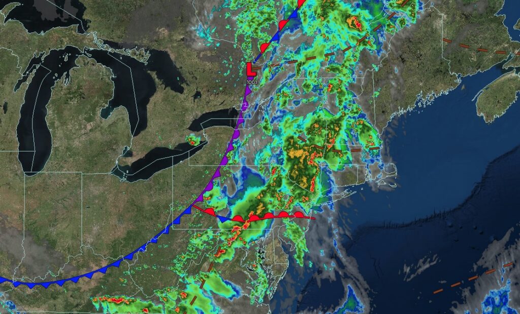
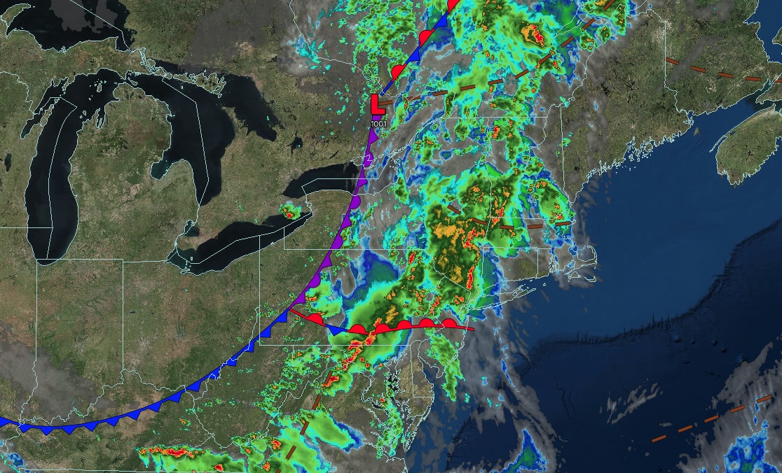
A warm front will continue to produce heavy rainfall and severe thunderstorms capable of tornadoes through this evening. Intense rainfall producing flash flooding will continue overnight into tomorrow morning.
EVENING
Showers and thunderstorms will continue. A few thunderstorms will be capable of intense downpours, frequent lightning, wind gusts over 55 mph, and isolated tornadoes. Winds will veer to the southwest at 5 to 15 mph. Temperatures will fall through the 70s.
TONIGHT
An area of low pressure and occluded front will produce heavy rainfall with embedded thunderstorms. Flash flooding will be a threat this evening through overnight. Winds will veer to the southwest at 5 to 15 mph. Low temperatures will range from the mid to upper 60s.
TOMORROW
A new area of low pressure will develop off the coast with heavy rainfall in the morning, giving way to scattered showers. Winds will veer to the northwest at 5 to 15 mph. High temperatures will range from the mid to upper 70s over the interior and New York City metropolitan areas and upper 70s to lower 80s in the Philadelphia metropolitan area.
TOMORROW NIGHT
A series of troughs will produce variable clouds and isolated showers. Winds will be from the northwest at 5 to 15 mph. Low temperatures will range from the lower to mid-60s over the interior and mid to upper 60s along the coast.
THURSDAY
A series of troughs will produce variable clouds and scattered showers. Winds will be from the northwest at 5 to 15 mph. High temperatures will range from the mid to upper 70s.
FRIDAY
A series of troughs will produce variable clouds and scattered showers. Winds will be from the north at 1 to 5 mph. Low temperatures will range from the lower to mid-60s over the interior and mid to upper 60s along the coast. High temperatures will range from the upper 70s to lower 80s.
SATURDAY
A series of troughs will produce variable clouds and isolated showers. Low temperatures will range from the lower to mid-60s over the interior and mid to upper 60s along the coast. High temperatures will range from the upper 70s to lower 80s over the interior and Long Island and mid to upper 80s on the I-95 corridor.
SUNDAY
A series of troughs will produce variable clouds and isolated showers. Low temperatures will range from the lower to mid-60s over the interior and upper 60s to the lower 70s along the coast. High temperatures will range from the mid to upper 70s in southeastern Long Island, upper 70s to lower 80s over the interior and northwestern Long Island, and mid to upper 80s on the I-95 corridor.
MONDAY
A cold front will produce scattered showers. Low temperatures will range from the mid to upper 60s over the interior and upper 60s to lower 70s along the coast. High temperatures will range from the upper 70s to lower 80s in southeastern Long Island, lower to mid-80s in northwestern Long Island and the interior, and upper 80s to lower 90s on the I-95 corridor.
TUESDAY
A stationary front and waves of low pressure will produce variable clouds and scattered showers. Low temperatures will range from the mid to upper 60s over the interior and upper 60s to lower 70s along the coast. High temperatures will range from the lower to mid-80s.


