
UPDATED 07/20/26 4:40 PM
Excellent weather conditions this evening will give way to waves of showers and thunderstorms tomorrow through Wednesday. Excellent weather for the end of the week.
EVENING
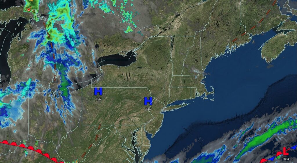
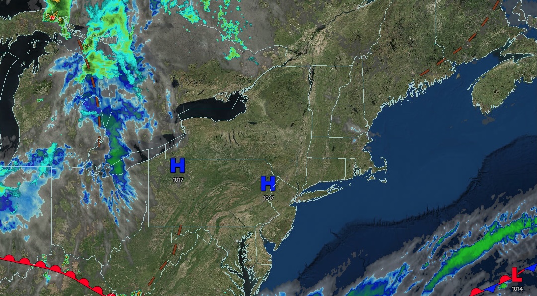
High pressure will produce scattered clouds. Winds will back to the southeast at 5 to 10 mph. Temperatures will fall from the 80s into the 70s.
TONIGHT
High pressure will exit the region with increasing clouds. Winds will back to the southeast at 5 to 10 mph. Low temperatures will range from the mid- to upper 60s over the interior and from the upper 60s to the lower 70s along the coast.
TOMORROW
A warm front will lift through the region with scattered showers and thunderstorms. A few thunderstorms may reach severe levels with intense downpours, frequent lightning, hail, and wind gusts over 55 mph. Winds will veer to the southwest at 5 to 10 mph. High temperatures will range from the mid- to upper 70s at higher elevations, the lower to mid-80s over the interior and Long Island, and the mid- to upper 80s along the I-95 corridor.
TOMORROW NIGHT
A trough will move through the region, bringing scattered showers and thunderstorms. A few thunderstorms may reach severe levels with intense downpours, frequent lightning, hail, and wind gusts over 55 mph. Winds will be from the southwest at 5 to 10 mph. Low temperatures will range from the mid- to upper 60s over the interior to the lower to mid-70s along the coast.
WEDNESDAY
A cold front will clear the region with showers and thunderstorms through the afternoon, followed by clearing skies in the evening. Winds will veer from the southwest to the west at 5 to 10 mph. High temperatures will range from the mid to upper 70s over the interior and lower to mid-80s along the coast.
THURSDAY
High pressure will produce scattered clouds. Winds will be from the northwest at 5 to 10 mph. Low temperatures will range from the mid- to upper 50s over the interior, the lower to mid-60s in the suburbs, and the mid- to upper 60s in urban areas. High temperatures will range from the mid to upper 70s.
FRIDAY
High pressure will produce scattered clouds. Low temperatures will range from the lower to mid-50s over the interior, upper 50s to lower 60s in the suburbs, and lower to mid-60s in urban areas. High temperatures will range from the upper 70s to the lower 80s.
SATURDAY
High pressure will produce scattered clouds. Low temperatures will range from the mid- to upper 50s over the interior and from the upper 50s to the lower 60s along the coast. High temperatures will range from the upper 70s to the lower 80s.
SUNDAY
High pressure will produce scattered clouds. Low temperatures will range from the upper 50s to the lower 60s. High temperatures will range from the upper 70s to the lower 80s on Long Island and from the mid to upper 80s elsewhere.
MONDAY
A cold front will produce scattered showers and thunderstorms in the afternoon and evening. Low temperatures will range from the lower to mid-60s over the interior and from the upper 60s to the lower 70s along the coast. High temperatures will range from the lower to mid-80s over the interior, upper 80s to lower 90s on the I-95 corridor, and mid to upper 80s on Long Island.


