
UPDATED 07/17/26 6:30 PM
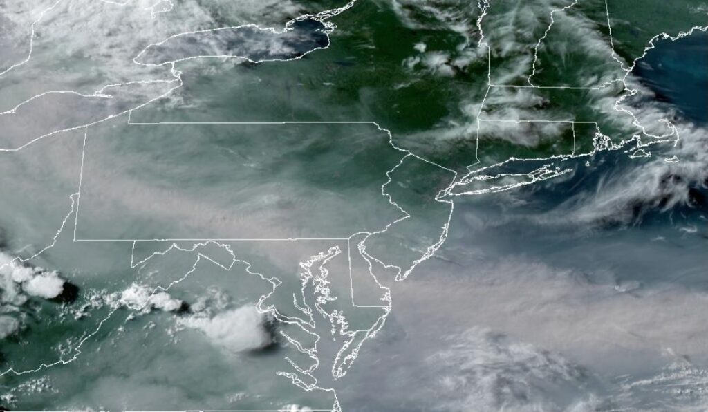
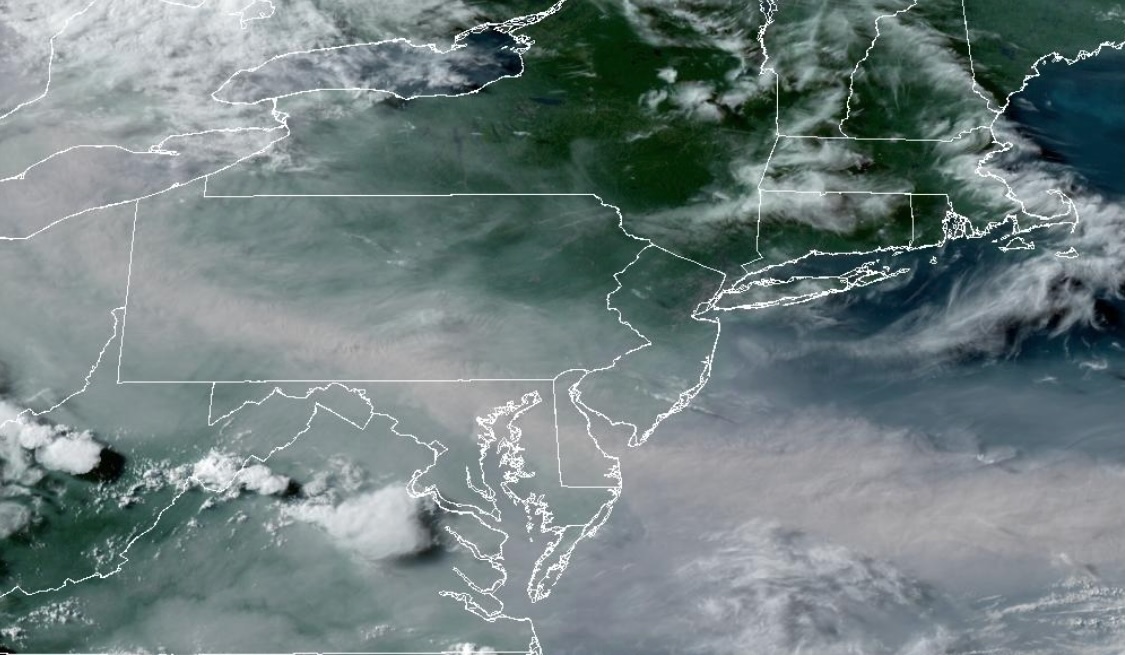
Smoke from Canadian wildfires will lift northward tonight through tomorrow morning. Severe thunderstorms pose a threat tomorrow, bringing intense downpours, frequent vivid lightning, hail, strong wind gusts, and isolated tornadoes.
TONIGHT
A warm front will approach the region with increasing clouds and developing showers and thunderstorms by morning. Winds will veer to the southeast at 5 to 15 mph. Low temperatures will range from the mid- to upper 60s over the interior to the lower to mid-70s along the coast.
TOMORROW
An area of low pressure will drive a warm front through the region with showers and thunderstorms in the morning. A cold front will follow in the afternoon and evening with showers and thunderstorms. The thunderstorms will be capable of intense downpours, frequent lightning, hail, wind gusts between 40 and 80 mph, and isolated tornadoes. Winds will back to the south at 5 to 10 mph. High temperatures will range from the lower to mid-80s.
Time Periods:
8 AM to 11 AM: Warm front with tropical showers and thunderstorms
11 AM to 4 PM: Pre-frontal trough with strong and severe thunderstorms. Severe thunderstorms capable of torrential downpours, frequent lightning, hail, wind gusts over 55 mph, and isolated tornadoes
6 PM to 12 AM: Cold front with additional showers and thunderstorms. Thunderstorms not as intense but still capable of torrential downpours, frequent vivid lightning, and wind gusts of 40 to 60 mph.
TOMORROW NIGHT
The cold front will clear the region with showers and thunderstorms. Winds will veer from the southwest to the northwest at 5 to 10 mph. Low temperatures will range from the lower to mid-60s over the interior and from the upper 60s to the lower 70s along the coast.
SUNDAY
The cold front will clear the coast with showers in the morning, followed by clearing skies in the afternoon and evening. Winds will be from the northwest at 5 to 10 mph. High temperatures will range from the mid- to upper 70s over the interior and from the upper 70s to the lower 80s along the coast.
MONDAY
High pressure will produce scattered clouds. Winds will be from the south at 5 to 10 mph. Low temperatures will range from the mid- to upper 50s over the interior to the lower to mid-60s along the coast. High temperatures will range from the upper 70s to the lower 80s over the interior and Long Island, and from the lower to mid-80s on the I-95 corridor.
TUESDAY
A warm front will move through the region in the morning with showers and thunderstorms. A cold front will follow in the afternoon and evening with additional showers and thunderstorms. Low temperatures will range from the mid- to upper 60s over the interior and from the upper 60s to the lower 70s along the coast. High temperatures will range from the mid- to upper 70s over the interior to the lower to mid-80s along the coast.
WEDNESDAY
A series of cold fronts will produce scattered showers and thunderstorms. Low temperatures will range from the upper 60s to the lower 70s over the interior and from the lower to mid-70s along the coast. High temperatures will range from the lower to mid-80s.
THURSDAY
High pressure will produce scattered clouds. Low temperatures will range from the upper 50s to the lower 60s over the interior, mid to upper 60s in the suburbs, and upper 60s to lower 70s along the coast. High temperatures will range from the mid- to upper 70s over the interior and from the upper 70s to the lower 80s along the coast.
FRIDAY
High pressure will produce scattered clouds. Low temperatures will range from the upper 50s to the lower 60s over the interior, mid to upper 60s in the suburbs, and upper 60s to lower 70s along the coast. High temperatures will range from the mid- to upper 70s over the interior and from the upper 70s to the lower 80s along the coast.


