

UPDATED 06/20/26 10:00 AM
Tranquil conditions will be in place through the weekend. Widespread showers and thunderstorms return on Monday with some significant impacts on the World Cup games.
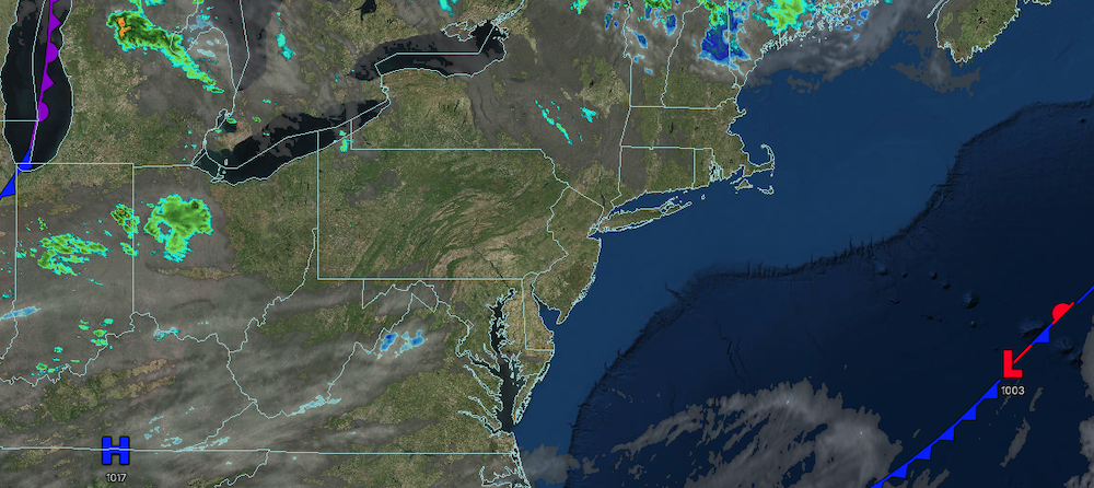
TODAY
High pressure will produce scattered clouds. Winds will be from the west at 10 to 20 mph. High temperatures will range from the mid to upper 70s over the interior and lower to mid-80s along the coast.
TONIGHT
High pressure will produce scattered clouds. Winds will be from the west at 5 to 10 mph. Low temperatures will range from the mid to upper 50s over the interior and lower to mid-60s along the coast.
TOMORROW
A trough will produce scattered clouds and isolated showers. Winds will be from the west at 5 to 10 mph. High temperatures will range from the mid to upper 70s over the interior, upper 70s to lower 80s on Long Island, lower to mid-80s in the New York City metropolitan area, and mid to upper 80s in the Philadelphia metropolitan area.
TOMORROW NIGHT
Clouds will increase as a warm front approaches the region. Winds will be light and variable. Low temperatures will range from the upper 50s to lower 60s over the interior, mid to upper 60s in the suburbs, and upper 60s to lower 70s in urban areas.
MONDAY
A warm front will move through the region with showers and thunderstorms in the morning. A cold front will follow with showers and thunderstorms in the afternoon and evening. Winds will veer to the south at 5 to 10 mph. High temperatures will range from the mid to upper 70s over the interior and Long Island and upper 70s to lower 80s on the I-95 corridor.
TUESDAY
High pressure will build into the region with scattered clouds and a few isolated showers. Winds will be from the northwest at 5 to 15 mph. Low temperatures will range from the upper 50s to the lower 60s over the interior and mid to upper 60s along the coast. High temperatures will range from the lower to mid-70s over the interior and upper 70s to lower 80s along the coast.
WEDNESDAY
A trough will produce scattered clouds and isolated showers. Low temperatures will range from the mid to upper 50s over the interior and lower to mid-60s along the coast. High temperatures will range from the mid to upper 70s over the interior, upper 70s to lower 80s on Long Island, and lower to mid-80s on the I-95 corridor.
THURSDAY
An area of low pressure will produce showers and thunderstorms. Low temperatures will range from the mid to upper 50s over the interior and lower to mid-60s along the coast. High temperatures will range from the mid to upper 70s over the interior and Long Island and lower to mid-80s on the I-95 corridor.
FRIDAY
An area of low pressure will produce showers and thunderstorms. Low temperatures will range from the mid to upper 60s. High temperatures will range from the lower to mid-70s.
SATURDAY
A trough will produce scattered clouds and isolated showers. Low temperatures will range from the upper 50s to the lower 60s over the interior and mid to upper 60s along the coast. High temperatures will range from the mid to upper 70s over the interior and the lower 80s along the coast.

