

UPDATED 06/12/26 9:47 AM
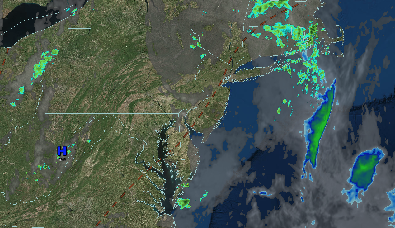
A tropical air mass will remain with hot and humid conditions, along with showers and thunderstorms, through this weekend. Thunderstorms will be capable of reaching severe levels with frequent lightning, hail, wind gusts over 40 mph, and isolated tornadoes.
TODAY
A trough will produce scattered clouds with a few isolated thunderstorms. Winds will be from the southwest at 5 to 15 mph. High temperatures will range from the mid to upper 80s over the interior, lower to mid-90s on the I-95 corridor, and upper 80s to lower 90s along the coast and Long Island. A heat index in the upper 90s to lower 100s can be expected.
TONIGHT
A cold front will produce scattered showers and thunderstorms. The thunderstorms will be capable of intense downpours, frequent lightning, hail, wind gusts over 40 mph, and isolated tornadoes. Winds will veer to the west at 5 to 15 mph. Low temperatures will range from the upper 50s to the lower 60s over the interior and mid to upper 60s along the coast.
TOMORROW
High pressure will produce scattered clouds. Winds will veer to the northwest at 5 to 10 mph. High temperatures will range from the lower to mid-80s over the interior, upper 80s to lower 90s on the I-95 corridor, and mid to upper 80s on Long Island.
TOMORROW NIGHT
High pressure will produce scattered clouds. Winds will back to the southwest at 5 to 15 mph. Low temperatures will range from the lower to mid-60s over the interior and mid to upper 60s along the coast.
SUNDAY
High pressure will exit the region with scattered clouds. A cold front will produce showers and thunderstorms by the evening. The thunderstorms will be capable of intense downpours, frequent lightning, hail, wind gusts over 40 mph, and isolated tornadoes. Winds will be from the south at 10 to 20 mph with gusts up to 30 mph. High temperatures will range from the lower to mid-80s over the interior and along the coast and upper 80s to lower 90s on the I-95 corridor.
MONDAY
High pressure will produce scattered clouds to clear skies. Winds will be from the west at 5 to 15 mph. Low temperatures will range from the lower to mid-50s over the interior, upper 50s to lower 60s in the suburbs, and mid to upper 60s in urban areas. High temperatures will range from the upper 60s to lower 70s over the interior and mid to upper 70s along the coast.
TUESDAY
High pressure will produce scattered clouds. Low temperatures will range from the upper 40s to lower 50s over the interior and mid to upper 50s along the coast. High temperatures will range from the lower to mid-70s.
WEDNESDAY
A trough will produce scattered clouds with isolated thunderstorms. Low temperatures will range from the lower to mid-50s over the interior and upper 50s to lower 60s along the coast. High temperatures will range from the mid to upper 70s over the interior, lower to mid-80s on the I-95 corridor, and mid to upper 70s on Long Island.
THURSDAY
A warm front will lift through the region with scattered clouds and isolated thunderstorms. A cold front will follow in the evening with widespread showers and thunderstorms. Low temperatures will range from the upper 50s to the lower 60s over the interior and mid to upper 60s along the coast. High temperatures will range from the upper 70s to lower 80s in the higher elevation, lower to mid-80s over the interior, upper 80s to lower 90s in the New York City metropolitan areas, lower to mid-90s in the Philadelphia metropolitan area, lower to mid-80s in northwestern Long Island, and upper 70s to lower 80s in southeastern Long Island.
FRIDAY
A trough will produce scattered clouds and isolated showers. Low temperatures will range from the lower to mid-50s over the interior, upper 50s to lower 60s in the suburbs, and lower to mid-60s in urban areas. High temperatures will range from the mid to upper 70s over the interior, lower to mid-80s on the I-95 corridor, and upper 70s to lower 80s along the coast and Long Island.

