

UPDATED 06/03/26 9:34 AM
Some of the best weather conditions of the weather will be in place through Saturday. Showers and thunderstorms return by Saturday night.
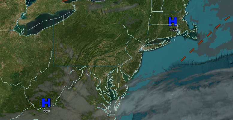
TODAY
High pressure will produce clear skies. Winds will be from the northwest at 5 to 10 mph. High temperatures will range from the upper 70s to lower 80s in the higher elevations and Long Island, and lower to mid-80s elsewhere.
TONIGHT
High pressure will build into the region with scattered clouds. Winds will be from the southwest at 5 to 10 mph. Low temperatures will range from the mid to upper 50s.
TOMORROW
High pressure will produce scattered clouds. Winds will be from the southwest at 5 to 10 mph. High temperatures will range from the mid to upper 70s in southeastern Long Island, lower to mid-80s in northwestern Long Island, lower to mid-80s over the interior, and upper 80s to lower 90s on the I-95 corridor.
TOMORROW NIGHT
High pressure will produce scattered clouds. Winds will be from the southwest at 5 to 10 mph. Low temperatures will range from the upper 50s to lower 60s over the interior and lower to mid-60s along the coast.
FRIDAY
High pressure will produce scattered clouds. Winds will be from the southwest at 5 to 10 mph. High temperatures will range from the lower to mid-80s in southeastern Long Island, upper 80s to lower 90s in northwestern Long Island, lower to mid-90s on the I-95 corridor, and mid to upper 80s over the interior. A heat index near 100 degrees will be possible.
SATURDAY
A cold front will approach the region with scattered clouds and isolated evening thunderstorms. Showers and thunderstorms will develop towards midnight. Winds will be from the southwest at 5 to 10 mph. Low temperatures will range from the mid to upper 60s over the interior and upper 60s to lower 70s along the coast. High temperatures will range from the lower to mid-80s in southeastern Long Island, upper 80s to lower 90s in northwestern Long Island, mid to upper 80s over the interior, and lower to mid-90s on the I-95 corridor. A heat index near 100 degrees will be possible.
SUNDAY
A cold front will drop through the region with showers and thunderstorms. Low temperatures will range from the mid to upper 60s. High temperatures will range from the lower to mid-70s over the interior and upper 70s to lower 80s along the coast.
MONDAY
High pressure will produce scattered clouds. Low temperatures will range from the mid to upper 50s over the interior and upper 50s to lower 60s along the coast. High temperatures will range from the upper 60s to the lower 70s.
TUESDAY
High pressure will produce scattered clouds. Low temperatures will range from the upper 40s to lower 50s over the interior and lower to mid-50s along the coast. High temperatures will range from the lower to mid-70s.
WEDNESDAY
High pressure will produce scattered clouds. Low temperatures will range from the upper 40s to lower 50s over the interior and lower to mid-50s along the coast. High temperatures will range from the lower to mid-70s over the interior and upper 70s to lower 80s along the coast.

