

UPDATED 06/01/26 9:40 AM
A stationary boundary will keep isolated showers a threat. Seasonable summer weather returns for the rest of the week!
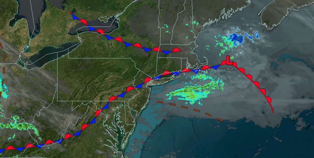
TODAY
A stationary front will produce scattered clouds and isolated showers. Winds will be from the north at 5 to 10 mph. High temperatures will range from the upper 60s to lower 70s on Long Island, mid to upper 70s on the I-95 corridor, and lower to mid-70s over the interior.
TONIGHT
A stationary front will produce scattered clouds. Winds will be from the northeast at 5 to 10 mph. Low temperatures will range from the upper 40s to the lower 50s.
TOMORROW
A stationary front will produce scattered clouds and isolated showers. Winds will be from the northeast at 5 to 10 mph. High temperatures will range from the lower to mid-70s.
TOMORROW NIGHT
High pressure will build into the region with scattered clouds. Winds will be from the northwest at 5 to 10 mph. Low temperatures will range from the upper 40s to lower 50s over the interior and mid to upper 50s along the coast.
WEDNESDAY
High pressure will produce scattered clouds. Winds will be from the northwest at 5 to 10 mph. High temperatures will range from the upper 70s to the lower 80s over the interior and Long Island and lower to mid-80s on the I-95 corridor.
THURSDAY
High pressure will produce scattered clouds. Winds will be from the southwest at 5 to 10 mph. Low temperatures will range from the mid to upper 50s. High temperatures will range from the mid to upper 70s on southeastern Long Island, upper 70s to lower 80s in northwestern Long Island, mid to upper 80s on the I-95 corridor, and lower to mid-80s over the interior.
FRIDAY
High pressure will produce scattered clouds. Low temperatures will range from the upper 50s to lower 60s over the interior and lower to mid-60s along the coast. High temperatures will range from the lower to mid-80s over the interior and along the coast and upper 80s to lower 90s on the I-95 corridor.
SATURDAY
A cold front will approach the region with scattered clouds and isolated evening thunderstorms. Low temperatures will range from the lower to mid-60s over the interior, mid to upper 60s in the suburbs, and upper 60s to lower 70s in urban areas. High temperatures will range from the mid to upper 80s over the interior, lower to mid-90s on the I-95 corridor, and upper 80s to lower 90s on the immediate coast and Long Island.
SUNDAY
A cold front will drop through the region with showers and thunderstorms. Low temperatures will range from the lower to mid-60s. High temperatures will range from the upper 60s to lower 70s over the interior and New York City metropolitan area, and mid-70s in the Philadelphia metropolitan area.
MONDAY
A stationary front will produce overcast skies along with showers and thunderstorms. Low temperatures will range from the upper 40s to lower 50s over the interior and lower to mid-50s along the coast. High temperatures will range from the lower to mid-50s over the interior and upper 50s to lower 60s along the coast.

