
UPDATED 05/28/26 6:34 PM
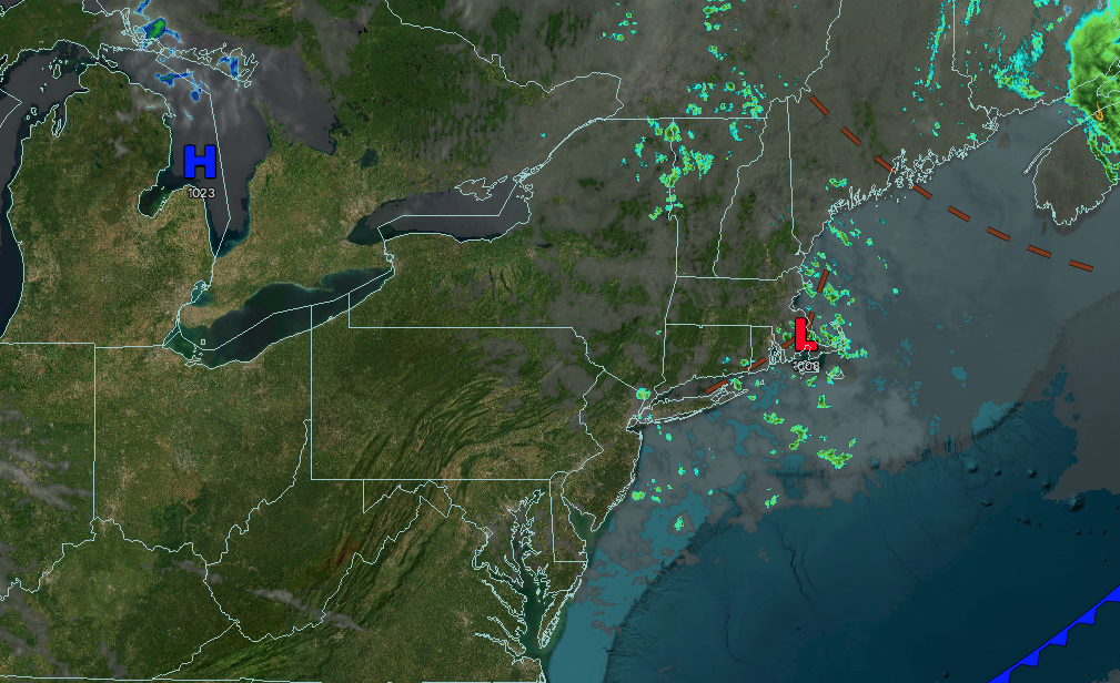
Tranquil conditions will continue through the end of the week. An unsettled weather pattern continues through the weekend, but still plenty of sunshine!
TONIGHT
High pressure will produce scattered clouds. Winds will be from the northwest at 5 to 15 mph. Low temperatures will range from the mid to upper 40s over the interior and lower to mid-50s along the coast.
TOMORROW
High pressure will produce scattered clouds. Winds will be from the northwest at 5 to 15 mph. High temperatures will range from the lower to mid-70s.
TOMORROW NIGHT
A cold front will drop through the region with variable clouds and scattered showers. Winds will be from the southwest at 5 to 15 mph. Low temperatures will range from the mid to upper 40s over the interior and lower to mid-50s along the coast.
SATURDAY
A cold front will pass through the region with a few showers in the morning, followed by clearing skies in the afternoon and evening. Winds will veer to the northwest at 10 to 20 mph with gusts over 30 mph. High temperatures will range from the upper 50s to lower 60s on Long Island, mid to upper 60s on the I-95 corridor, and lower to mid-60s over the interior.
SUNDAY
High pressure will produce scattered clouds. Winds will be from the west at 5 to 10 mph. Low temperatures will range from the lower to mid-40s over the interior and mid to upper 40s along the coast. High temperatures will range from the upper 60s to the lower 70s.
MONDAY
An area of low pressure will produce scattered showers. Low temperatures will range from the lower to mid-50s over the interior and mid to upper 50s along the coast. High temperatures will range from the upper 60s to lower 70s over the interior, mid to upper 70s on the I-95 corridor, and lower to mid-70s along the coast.
TUESDAY
A trough will produce scattered showers. Low temperatures will range from the mid to upper 40s over the interior and lower to mid-50s along the coast. High temperatures will range from the mid to upper 60s over the interior, lower to mid-70s on the I-95 corridor, and mid to upper 60s on Long Island.
WEDNESDAY
A trough will produce scattered clouds and isolated showers. Low temperatures will range from the mid to upper 40s over the interior and upper 40s to lower 50s along the coast. High temperatures will range from the mid to upper 60s on Long Island and upper 60s to lower 70s elsewhere.
THURSDAY
High pressure will produce scattered clouds. Low temperatures will range from the mid to upper 40s over the interior and lower to mid-50s along the coast. High temperatures will range from the lower to mid-70s over the interior, upper 70s to lower 80s on the I-95 corridor, and lower to mid-70s along the coast.


