

UPDATED 05/27/26 6:12 PM
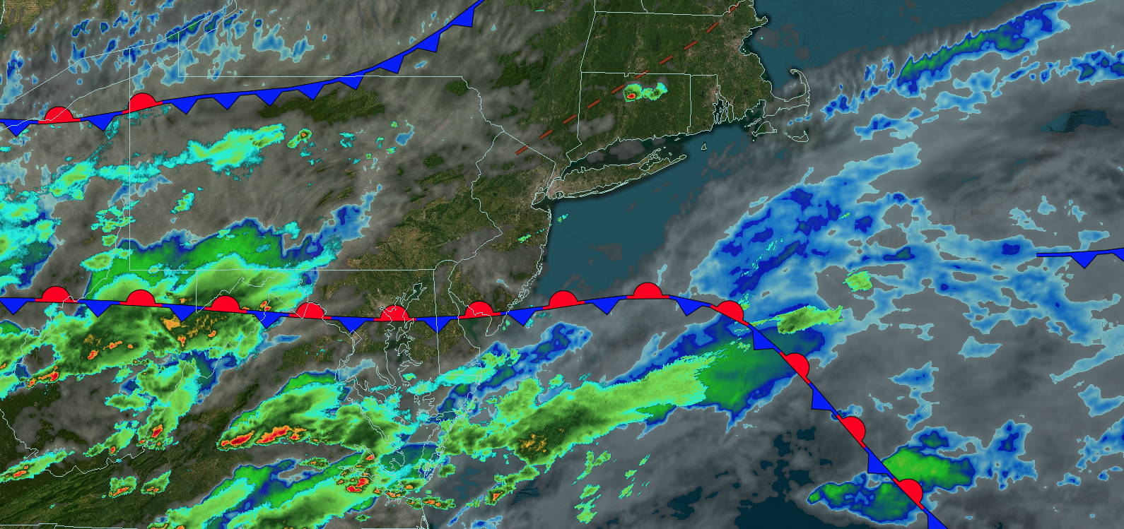
Tranquil conditions will take hold through tomorrow. An unsettled weather pattern from the Canadian Maritimes will linger through this weekend and into next week.
TONIGHT
A stationary front will produce scattered clouds. Winds will be from the west at 5 to 10 mph. Low temperatures will range from the lower to mid-50s over the interior, upper 50s to lower 60s in the suburbs, and lower to mid-60s in urban areas.
TOMORROW
A trough will produce scattered clouds and isolated showers. Winds will be from the northwest at 5 to 15 mph. High temperatures will range from the mid to upper 60s over the interior and lower to mid-70s along the coast.
TOMORROW NIGHT
A trough will produce scattered clouds and isolated showers. Winds will be from the northwest at 5 to 15 mph. Low temperatures will range from the mid to upper 40s over the interior and lower to mid-50s along the coast.
FRIDAY
High pressure will produce scattered clouds. Winds will be from the northwest at 5 to 15 mph. High temperatures will range from the lower to mid-70s.
SATURDAY
A cold front will produce variable clouds and scattered showers. Winds will be from the northwest at 10 to 20 mph. Low temperatures will range from the lower to mid-50s over the interior and upper 50s to lower 60s along the coast. High temperatures will range from the mid to upper 50s in higher elevations, lower to mid-60s over the northern interior, upper 60s to lower 70s in the New York City metropolitan area, and lower to mid-70s in the Philadelphia metropolitan area.
SUNDAY
High pressure will produce scattered clouds. Low temperatures will range from the lower to mid-40s over the interior and upper 40s to lower 50s along the coast. High temperatures will range from the mid to upper 60s over the interior, upper 60s to lower 70s in the New York City metropolitan area, and lower to mid-70s in the Philadelphia metropolitan area.
MONDAY
An area of low pressure will produce scattered showers. Low temperatures will range from the upper 40s to lower 50s over the interior and lower to mid-50s along the coast. High temperatures will range from the lower to mid-60s in southeastern Long Island, upper 60s to lower 70s in northwestern Long Island, lower to mid-70s on the I-95 corridor, and mid to upper 60s over the interior.
TUESDAY
A trough will produce scattered showers. Low temperatures will range from the mid to upper 40s over the interior and upper 40s to lower 50s along the coast. High temperatures will range from the mid to upper 60s on Long Island, lower to mid-70s on the I-95 corridor, and upper 60s to lower 70s over the interior.
WEDNESDAY
High pressure will produce scattered clouds. Low temperatures will range from the upper 40s to lower 50s over the interior and lower to mid-50s along the coast. High temperatures will range from the upper 60s to lower 70s in southeastern Long Island, mid to upper 70s in northwestern Long Island, and upper 70s to lower 80s elsewhere.

