

UPDATED 05/12/26 9:38 AM
Excellent weather through this evening will give way to waves of showers tomorrow afternoon through the end of the week. Summer-like weather develops by the weekend!
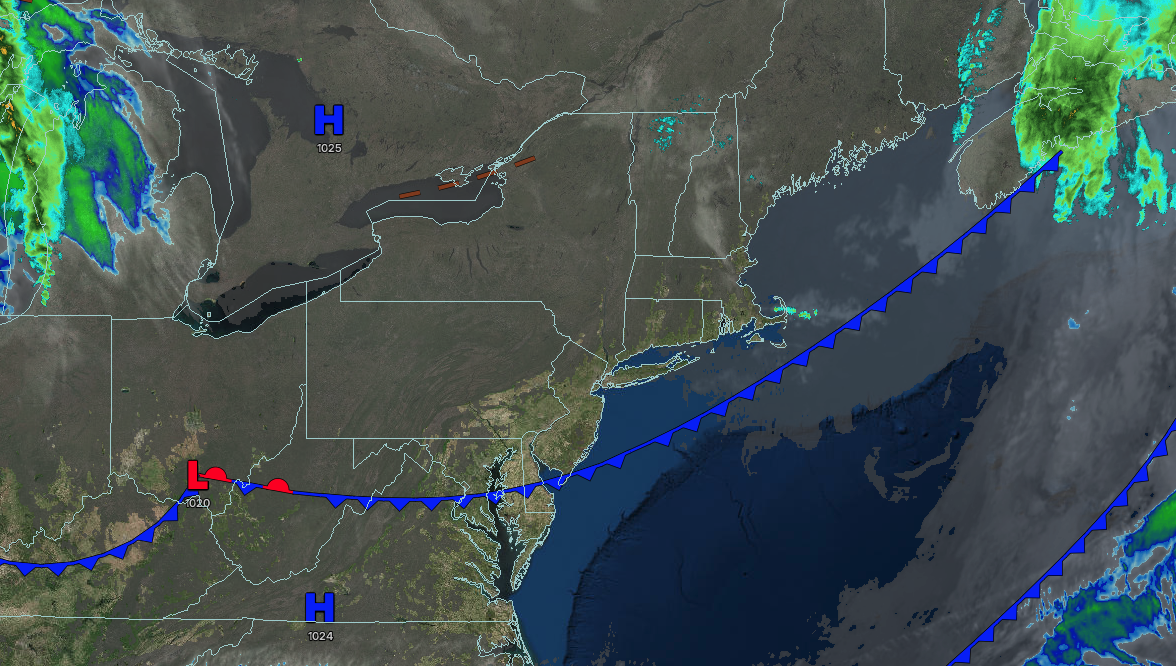
TODAY
High pressure will produce clear skies. Winds will be from the northwest at 5 to 15 mph. High temperatures will be in the lower to mid-60s.
TONIGHT
High pressure will exit with scattered clouds. Winds will be from the northwest at 5 to 15 mph. Low temperatures will range from the lower to mid-50s.
TOMORROW
A warm front will approach the region with increasing clouds and widely scattered showers. Winds will veer from the north to the southeast at 5 to 15 mph. High temperatures will range from the lower to mid-60s in southeastern Long Island, upper 60s to lower 70s in northwestern Long Island, lower to mid-70s in the Philadelphia and New York City metropolitan areas, and mid to upper 60s over the interior.
TOMORROW NIGHT
A cold front will approach the region with periods of showers. Winds will veer to the southwest at 5 to 15 mph. Low temperatures will range from the upper 40s to lower 50s over the interior and lower to mid-50s along the coast.
THURSDAY
An area of low pressure will produce variable clouds and scattered showers. Winds will be from the northwest at 5 to 15 mph. High temperatures will range from the mid to upper 50s over the interior, upper 50s to lower 60s on Long Island, lower to mid-60s in the New York City metropolitan area, and mid to upper 60s in the Philadelphia metropolitan area.
FRIDAY
An area of low pressure will depart with variable clouds and widely scattered showers. Winds will be from the northwest at 5 to 15 mph. Low temperatures will range from the mid to upper 40s over the interior and lower to mid-50s along the coast. High temperatures will range from the upper 50s to lower 60s over the interior and Long Island and mid to upper 60s in the New York City and Philadelphia metropolitan areas.
SATURDAY
High pressure will produce scattered clouds. Low temperatures will range from the upper 40s to lower 50s over the interior and lower to mid-50s along the coast. High temperatures will range from the upper 60s to mid-70s on southeastern Long Island, mid to upper 70s in northwestern Long Island, upper 70s to lower 80s in the Philadelphia and New York City metropolitan areas, and lower to mid-70s over the interior.
SUNDAY
A trough will produce scattered clouds and isolated showers. Low temperatures will range from the mid to upper 50s over the interior, upper 50s to lower 60s in the suburbs, and lower to mid-60s in urban areas. High temperatures will range from the mid to upper 70s in higher elevations, upper 70s to lower 80s over the northern interior, upper 70s to lower 80s in southeastern Long Island, mid to upper 80s in northwestern Long Island, and upper 80s to lower 90s in the Philadelphia and New York City metropolitan areas.
MONDAY
A warm front will approach the region with increasing clouds and isolated thunderstorms. Low temperatures will range from the mid to upper 50s over the interior, upper 50s to lower 60s in the suburbs, and lower to mid-60s in urban areas. High temperatures will range from the mid-60s to lower 70s in southeastern Long Island, mid-70s to lower 80s in northwestern Long Island, mid-80s to lower 90s in the New York City and Philadelphia metropolitan areas, and lower to mid-80s over the interior.
TUESDAY
A cold front will approach the region with increasing clouds and some morning fog. Showers and thunderstorms are expected in the evening. Low temperatures will range from the lower to mid-60s over the interior and suburbs and upper 60s to lower 70s in urban areas. High temperatures will range from the lower to mid-70s in southeastern Long Island, upper 70s to mid-80s in northwestern Long Island, upper 80s to mid-90s in the Philadelphia and New York City metropolitan areas, and mid to upper 80s over the interior.

