

UPDATED 05/07/26 9:45 AM
Clearing skies will push to the coast today, but an active weather pattern will continue with more threats of rainfall this weekend and next week.
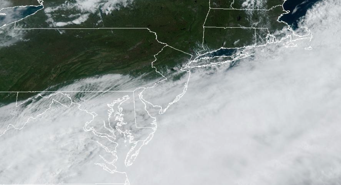
TODAY
A cold front will continue to push off the coast with clearing skies from the interior to the coast. Winds will be from the northwest at 5 to 15 mph. High temperatures will range from the lower to mid-50s over the interior, upper 50s to lower 60s in the New York City metropolitan area and the northern suburbs of the Philadelphia metropolitan area, and lower to mid-60s in the Philadelphia metropolitan area and southern New Jersey.
TONIGHT
A trough will produce scattered clouds and isolated showers. Winds will be from the northwest at 5 to 15 mph. Low temperatures will range from the mid to upper 30s over the interior and lower to mid-40s along the coast.
TOMORROW
A trough will produce scattered clouds and isolated showers. Winds will be from the northwest at 5 to 15 mph. High temperatures will range from the mid to upper 50s over the interior, upper 50s to lower 60s in the New York City metropolitan area, and lower to mid-60s in the Philadelphia metropolitan area.
TOMORROW NIGHT
An area of low pressure will approach the region with increasing clouds and showers towards morning. Winds will veer to the southwest at 5 to 15 mph. Low temperatures will range from the lower to mid-40s over the interior and mid to upper 40s along the coast.
SATURDAY
An area of low pressure will move through the region with periods of showers. Winds will be from the southwest at 5 to 15 mph. High temperatures will range from the lower to mid-50s over the interior, mid to upper 50s in the New York City metropolitan area, and upper 50s to lower 60s in the Philadelphia metropolitan area.
SUNDAY
A trough will produce scattered clouds and isolated showers. Winds will be from the west at 5 to 15 mph. Low temperatures will range from the upper 40s to the lower 50s. High temperatures will range from the mid to upper 60s over the interior and lower to mid-70s along the coast.
MONDAY
A cold front and an area of low pressure will produce periods of showers and drizzle. Low temperatures will range from the lower to mid-40s over the interior and upper 40s to lower 50s along the coast. High temperatures will range from the upper 40s to the lower 50s.
TUESDAY
A trough will produce scattered clouds and isolated showers. Low temperatures will range from the mid to upper 30s over the interior and lower to mid-40s along the coast. High temperatures will range from the lower to mid-50s over the interior and upper 50s to lower 60s along the coast.
WEDNESDAY
An area of low pressure will produce periods of showers. Low temperatures will range from the mid to upper 30s over the interior and lower to mid-40s along the coast. High temperatures will range from the mid to upper 50s over the interior, upper 50s to lower 60s in the New York City metropolitan area, and lower to mid-60s in the Philadelphia metropolitan area.
THURSDAY
A trough will produce variable clouds and isolated showers. Low temperatures will range from the mid to upper 40s over the interior and suburbs and upper 40s to lower 50s in urban areas. High temperatures will range from the lower to mid-60s over the interior and Long Island and mid to upper 60s in the Philadelphia and New York City metropolitan areas.


