

UPDATED 04/20/26 4:25 PM
A cool and unsettled weather pattern will continue through next week, with the threat of rainfall and below-normal temperatures.
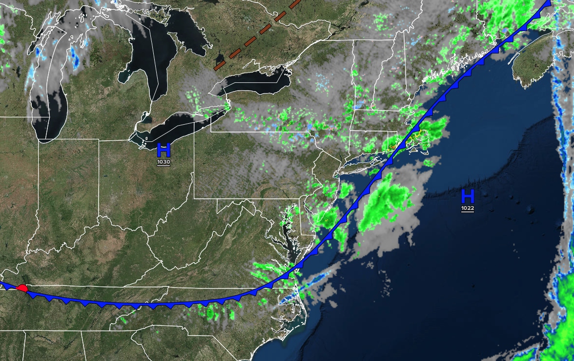
TONIGHT
A trough will produce variable clouds and isolated showers this evening. Skies will clear after midnight. Winds will be from the northwest at 5 to 15 mph. Low temperatures will range from the mid to upper 20s over the interior, upper 20s to lower 30s in the suburbs, and lower to mid-30s in urban areas.
TOMORROW
High pressure will produce scattered clouds. Winds will be light and variable. High temperatures will range from the upper 40s to the lower 50s.
TOMORROW NIGHT
A warm front will approach the region with increasing clouds and isolated showers. Winds will be from the south at 5 to 15 mph. Low temperatures will range from the mid to upper 30s over the interior and lower to mid-40s along the coast.
WEDNESDAY
An area of low pressure will produce scattered showers. Winds will be from the south at 5 to 10 mph. High temperatures will range from the lower to mid-50s in southeastern Long Island, upper 50s to lower 60s in northwestern Long Island, mid to upper 60s in the New York City and Philadelphia metropolitan area, and lower to mid-60s over the interior.
THURSDAY
High pressure will produce scattered clouds. Winds will be from the northwest at 5 to 15 mph. Low temperatures will range from the lower to mid-40s over the interior and mid to upper 40s along the coast. High temperatures will range from the mid to upper 60s on Long Island, lower to mid-70s in the Philadelphia and New York City metropolitan areas, and mid to upper 60s over the interior.
FRIDAY
A warm front will approach with scattered clouds and isolated showers. Low temperatures will range from the upper 30s to lower 40s over the interior and mid to upper 40s along the coast. High temperatures will range from the mid to upper 50s in southeastern Long Island, upper 50s to lower 60s in northwestern Long Island, mid to upper 60s in the Philadelphia and New York City metropolitan areas, and lower to mid-60s over the interior.
SATURDAY
A warm front will move through the region with variable clouds and scattered showers. Low temperatures will range from the mid to upper 40s. High temperatures will range from the lower to mid-50s in southeastern Long Island, upper 50s to lower 60s in northwestern Long Island, and mid to upper 60s elsewhere.
SUNDAY
An area of low pressure will produce periods of rain. Low temperatures will range from the mid to upper 40s over the interior and suburbs and upper 40s to lower 50s in urban areas. High temperatures will range from the upper 40s to the lower 50s on Long Island and from the lower to mid-50s elsewhere.
MONDAY
High pressure will produce scattered clouds. Low temperatures will range from the mid to upper 30s over the interior and lower to mid-40s along the coast. High temperatures will range from the upper 50s to lower 60s on Long Island and lower to mid-60s elsewhere.

