

UPDATED 04/16/26 9:41 AM
Record high temperatures will remain a threat today; however, a shift to a cooler, wetter weather pattern is on the way.
TODAY
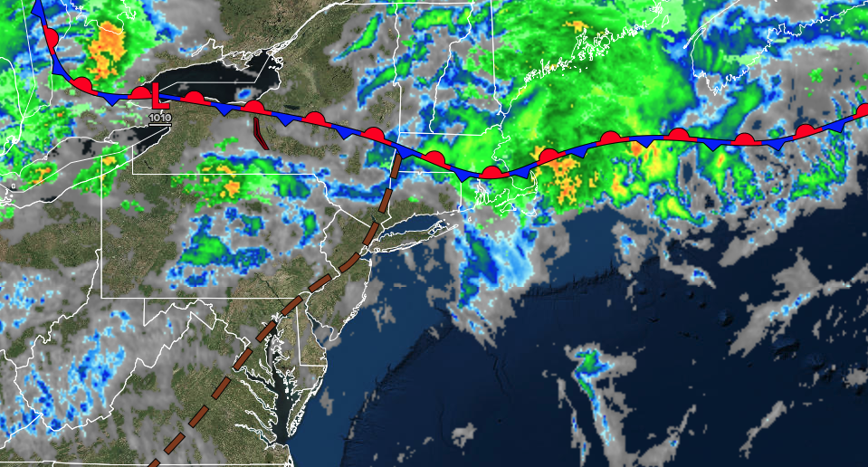
A stationary front will produce a mix of sun and clouds with isolated showers. Winds will be from the southwest at 5 to 15 mph. High temperatures will range from the lower to mid-80s on southeastern Long Island, mid to upper 80s in northwestern Long Island, upper 80s to lower 90s in the New York City and Philadelphia metropolitan areas, and lower to mid-80s over the interior.
TONIGHT
A cold front will approach from the north with variable clouds and isolated showers. Winds will be from the southwest at 5 to 15 mph. Low temperatures will range from the mid to upper 50s over the interior, upper 50s to lower 60s in the suburbs, and lower to mid-60s in urban areas.
TOMORROW
A cold front will produce variable clouds and widely scattered showers. Winds will veer to the west at 5 to 15 mph. High temperatures will range from the lower to mid-70s over the interior, upper 70s to lower 80s in the New York City metropolitan area, and lower to mid-80s in the Philadelphia metropolitan area.
TOMORROW NIGHT
A stationary front will produce variable clouds and isolated showers. Winds will veer to the north at 5 to 15 mph. Low temperatures will range from the lower to mid-50s over the interior and mid to upper 50s along the coast.
SATURDAY
A stationary front will linger over the region with scattered clouds and isolated showers. Winds will veer to the east at 5 to 15 mph. High temperatures will range from the lower to mid-60s in southeastern Long Island, upper 60s to lower 70s in northwestern Long Island, mid to upper 70s in the New York City metropolitan area and interior, and lower to mid-80s in the Philadelphia metropolitan area.
SUNDAY
A cold front will approach the region with increasing clouds, followed by showers and thunderstorms in the afternoon. Winds will veer to the northwest at 5 to 15 mph. Low temperatures will range from the upper 30s to lower 40s in higher elevations, mid to upper 40s over the interior, and lower to mid-50s along the coast. High temperatures will range from the mid 40s to lower 50s in higher elevations, mid to upper-50s over the interior, and lower to mid-60s along the coast.
MONDAY
A trough will produce scattered clouds and isolated showers. Low temperatures will range from the lower to mid-30s over the interior and mid to upper 30s along the coast. High temperatures will range from the upper 30s to lower 40s over the interior, mid to upper 40s in the New York City metropolitan area, and upper 40s to lower 50s in the Philadelphia metropolitan area.
TUESDAY
High pressure will produce clear skies. Low temperatures will range from the mid to upper 20s over the interior and lower to mid-30s along the coast. High temperatures will range from the mid to upper 40s over the interior, mid to upper 40s on Long Island, and upper 40s to lower 50s in the Philadelphia and New York City metropolitan area.
WEDNESDAY
An area of low pressure will produce periods of showers. Low temperatures will range from the mid to upper 30s over the interior and lower to mid-40s along the coast. High temperatures will range from the upper 50s to lower 60s in southeastern Long Island, mid to upper 60s in northwestern Long Island, upper 60s to lower 70s in the New York City and Philadelphia metropolitan areas, and mid to upper 60s over the interior.
THURSDAY
High pressure will produce scattered clouds. Low temperatures will range from the upper 30s to lower 40s over the interior, mid to upper 40s in the suburbs, and upper 40s to lower 50s in urban areas. High temperatures will range from the upper 40s to lower 50s over the interior, mid to upper 50s in the New York City metropolitan area, and lower to mid-60s in the Philadelphia metropolitan area.

