

UPDATED 04/13/26 9:55 AM
A warm front will start a shift to a summer-like weather pattern for much of this week, with morning fog and evening isolated thunderstorms. A return to more seasonable weather is expected by this weekend.
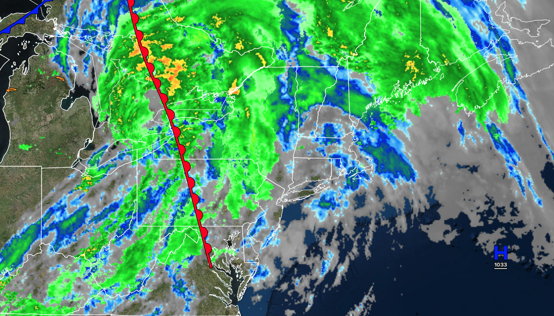
TODAY
A warm front will lift through the region with variable clouds and isolated showers. Winds will be from the southwest at 5 to 15 mph. High temperatures will range from the upper 60s to lower 70s in southeastern Long Island, mid to upper 70s in northwestern Long Island and interior, and upper 70s to lower 80s in the New York City and Philadelphia metropolitan areas.
TONIGHT
A trough will produce areas of low clouds and fog. Winds will be from the southwest at 5 to 10 mph. Low temperatures will range from the lower to mid-50s over the interior and upper 50s to lower 60s along the coast.
TOMORROW
A trough will produce scattered clouds, isolated showers, and isolated thunderstorms. Winds will be from the southwest at 5 to 15 mph. High temperatures will range from the upper 70s to lower 80s over the interior and Long Island, and mid to upper 80s in the New York City and Philadelphia metropolitan areas.
TOMORROW NIGHT
A trough will produce areas of low clouds and fog. Winds will be from the southwest at 5 to 10 mph. Low temperatures will range from the mid to upper-50s over the interior and suburbs and lower to mid-60s along the coast.
WEDNESDAY
A stationary front will produce scattered clouds, isolated showers, and isolated thunderstorms. Winds will be from the southwest at 5 to 15 mph. High temperatures will range from the upper 70s to lower 80s in southeastern Long Island, lower to mid-80s in northwestern Long Island and interior, and upper 80s to lower 90s in the New York City and Philadelphia metropolitan area.
THURSDAY
A stationary front will produce scattered clouds, isolated showers, and isolated thunderstorms. Winds will be from the southwest at 5 to 15 mph. Low temperatures will range from the upper 50s to lower 60s over the interior and suburbs and lower to mid-60s in urban areas. High temperatures will range from the lower to mid-70s in southeastern Long Island, upper 70s to lower 80s in northwestern Long Island, mid to upper 80s in the New York City metropolitan area, lower to mid-80s over the interior, and upper 80s to lower 90s in the Philadelphia metropolitan area.
FRIDAY
A cold front will produce scattered showers and thunderstorms. Low temperatures will range from the mid to upper 50s over the interior and suburbs and lower to mid-60s in urban areas. High temperatures will range from the upper 60s to lower 70s in southeastern Long Island, mid to upper 70s in northwestern Long Island, lower to mid-80s in the New York City metropolitan area, mid to upper 70s over the interior, and mid to upper 80s in the Philadelphia metropolitan area.
SATURDAY
A trough will produce scattered clouds and isolated showers. Low temperatures will range from the lower to mid-50s over the interior and suburbs and upper 50s to mid-60s in urban areas. High temperatures will range from the mid to upper 60s in southeastern Long Island, lower to mid-70s in northwestern Long Island, upper 70s to lower 80s in the New York City metropolitan area and interior, and lower to mid-80s in the Philadelphia metropolitan area.
SUNDAY
A cold front will approach the region with increasing clouds, followed by showers and thunderstorms in the evening. Low temperatures will range from the lower to mid-30s over the interior, upper 30s to lower 40s in the suburbs, and lower to mid-40s in urban areas. High temperatures will range from the mid-60s to lower 70s in southeastern Long Island, mid to upper 70s in northwestern Long Island, lower to mid-80s in the New York City metropolitan area, upper 70s to lower 80s over the interior, and upper 80s to lower 90s in the Philadelphia metropolitan area.
MONDAY
A cold front will clear the region with showers in the morning, followed by clearing skies in the afternoon. Low temperatures will range from the lower to mid-30s over the interior, upper 30s to lower 40s in the suburbs, and lower to mid-40s in urban areas. High temperatures will range from the mid to upper 30s in higher elevations, upper 30s to lower 40s over the interior, and mid to upper 40s along the coast.

