

UPDATED 04/06/26 4:05 PM
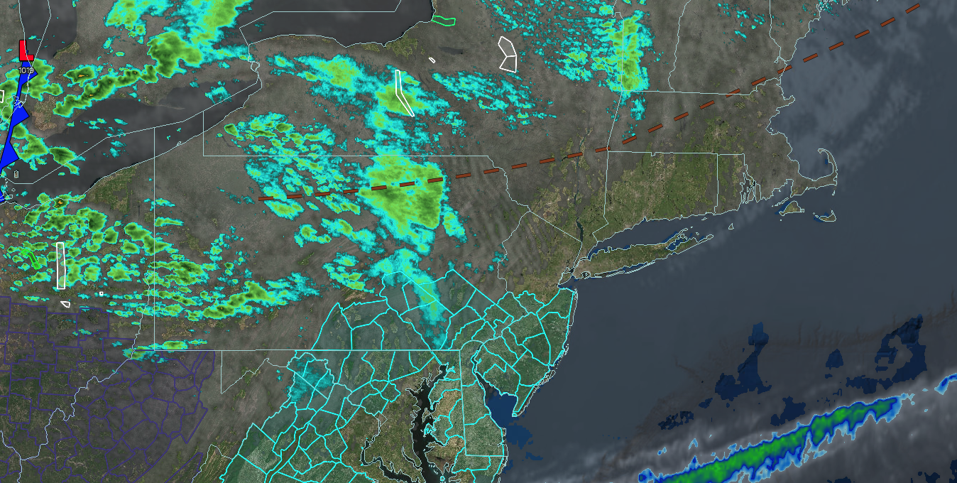
A cold front tonight will produce a few showers this evening, followed by a polar blast that will drop temperatures below freezing by Wednesday morning. A tranquil weather pattern will continue into the weekend with limited rainfall potential and temperatures moderating back to above-normal levels.
TONIGHT
An area of low pressure will pass through the region with scattered showers. Some snow may mix with the rain in higher elevations. Winds will be from the west at 5 to 15 mph. Low temperatures will range from the lower to mid-30s over the interior, upper 30s to lower 40s in the suburbs, and lower to mid-40s in urban areas.
TOMORROW
An area of low pressure will exit with a few lingering showers in the morning, followed by clearing skies in the afternoon. Winds will veer to the northwest at 10 to 20 mph. High temperatures will range from the upper 30s to lower 40s over the interior, mid to upper 40s in the New York City metropolitan areas, and upper 40s to lower 50s in the Philadelphia metropolitan area.
TOMORROW NIGHT
High pressure will produce scattered clouds. Winds will be from the northwest at 5 to 15 mph. Low temperatures will range from the lower to mid-20s over the interior and upper 20s to lower 30s along the coast.
WEDNESDAY
High pressure will produce scattered clouds. Winds will be light and variable. High temperatures will range from the lower to mid-40s on Long Island and upper 40s to lower 50s elsewhere.
THURSDAY
High pressure will produce scattered clouds. Winds will be from the southeast at 5 to 10 mph. Low temperatures will range from the upper 20s to the lower 30s. High temperatures will range from the mid to upper 40s on Long Island, lower to mid-50s in the New York City metropolitan area and the interior, and mid to upper 50s in the Philadelphia metropolitan area.
FRIDAY
High pressure will produce scattered clouds. Low temperatures will range from the mid to upper 30s. High temperatures will range from the upper 50s to the lower 60s on Long Island and mid to upper 60s.
SATURDAY
A cold front will produce scattered showers. Low temperatures will range from the mid to upper 40s. High temperatures will range from the mid to upper 50s in higher elevations, upper 50s to lower 60s over the interior, mid to upper 60s on Long Island, and upper 60s to lower 70s in the Philadelphia and New York City metropolitan areas.
SUNDAY
High pressure will produce scattered clouds. Low temperatures will range from the lower to mid-30s over the interior and upper 30s to lower 40s along the coast. High temperatures will range from the mid to upper 50s on Long Island, lower to mid-60s in the Philadelphia and New York City metropolitan areas, and upper 50s to lower 60s over the interior.
MONDAY
High pressure will produce scattered clouds. Low temperatures will range from the lower to mid-40s. High temperatures will range from the upper 50s to lower 60s in southeastern Long Island, mid to upper 60s in northwestern Long Island, lower to mid-70s in the Philadelphia and New York City metropolitan areas, and mid to upper 60s over the interior.


