

UPDATED 03/25/26 9:05 AM
Variable clouds through tomorrow will give way to waves of rainfall on Friday. Unsettled conditions continue through next week.
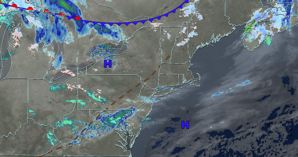
TODAY
High pressure will produce scattered clouds. Winds will back to the southwest at 5 to 15 mph. High temperatures will range from the mid to upper 40s on Long Island, upper 40s to lower 50s along the coast, and lower to mid-50s away from the coast.
TONIGHT
High pressure will produce scattered clouds. Winds will be from the southwest at 5 to 15 mph. Low temperatures will range from the lower to mid-40s over the interior and mid to upper 40s along the coast.
TOMORROW
High pressure will exit the coast with variable clouds. Winds will be from the southwest at 5 to 15 mph. High temperatures will range from the mid to upper 50s on eastern Long Island, upper 50s to lower 60s on western Long Island, mid to upper 60s along the coast, New York City metropolitan, and the interior, and upper 60s to lower 70s in the Philadelphia metropolitan area.
TOMORROW NIGHT
A cold front will approach with increasing clouds, followed by rainfall after midnight. Winds will be from the southwest at 5 to 15 mph. Low temperatures will range from the lower to mid-40s over the interior and upper 40s to lower 50s along the coast.
FRIDAY
A cold front will produce periods of showers. Winds will veer from the southwest to the northwest at 5 to 15 mph. High temperatures will range from the lower to mid-40s over the interior, upper 40s to lower 50s in the New York City metropolitan area, and mid to upper 50s in the Philadelphia metropolitan area.
SATURDAY
High pressure will build into the region with clearing skies. Winds will be from the northwest at 5 to 15 mph. Low temperatures will range from the lower to mid-20s over the interior and mid to upper 20s along the coast. High temperatures will range from the mid to upper 30s over the interior and upper 30s to lower 40s along the coast.
SUNDAY
A trough will produce scattered clouds. Low temperatures will range from the mid to upper 20s over the interior and upper 20s to lower 30s along the coast. High temperatures will range from the mid to upper 40s on Long Island, upper 40s to lower 50s along the coast, New York City metropolitan area, and the interior, and lower to mid-50s in the Philadelphia metropolitan area.
MONDAY
A cold front will produce periods of showers. Low temperatures will range from the mid to upper 30s over the interior and upper 30s to lower 40s along the coast. High temperatures will range from the mid to upper 50s on Long Island, upper 50s to lower 60s along the coast, New York City metropolitan area, and interior, and lower to mid-60s in the Philadelphia metropolitan area.
TUESDAY
High pressure will produce scattered clouds. Low temperatures will range from the mid to upper 30s in higher elevations, upper 30s to lower 40s in the interior, and mid to upper 40s along the coast. High temperatures will range from the mid to upper 50s on Long Island, upper 50s to lower 60s along the coast, mid to upper 60s elsewhere.
WEDNESDAY
A warm front will produce periods of showers. Low temperatures will range from the mid to upper 40s. High temperatures will range from the mid to upper 60s on Long Island, upper 60s to lower 70s along the coast, and mid to upper 70s elsewhere.


