

UPDATED 03/12/26 9:57 AM
A cold front will produce waves of rainfall, gradually changing over to snow as temperatures fall throughout the day. A volatile weather pattern will continue through next week.
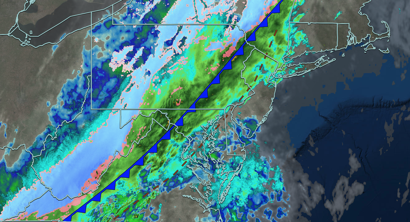
TODAY
A cold front will move through the region with waves of rainfall, gradually mixing over to snow. Winds will be from the northwest at 5 to 15 mph with gusts up to 30 mph. Temperatures will fall through the 50s, 40s, and 30s through the afternoon as the cold front presses towards the coast.
TONIGHT
High pressure will build into the region with clearing skies. Winds will be from the northwest at 5 to 15 mph. Low temperatures will range from the mid to upper 20s over the interior and upper 20s to lower 30s along the coast. Black ice will be a threat on some surfaces.
TOMORROW
High pressure will produce scattered clouds. Winds will veer to the south at 10 to 20 mph with gusts up to 35 mph. High temperatures will range from the lower to mid-40s over the interior, mid to upper 40s in the New York City metropolitan area, and lower to mid-50s in the Philadelphia metropolitan area.
TOMORROW NIGHT
An area of low pressure will approach the region with increasing clouds. Winds will be from the southwest at 5 to 15 mph. Low temperatures will range from the upper 20s to the lower 30s over the interior and mid to upper 30s along the coast.
SATURDAY
An area of low pressure will pass to the north of the region with variable clouds and isolated showers. Winds will be from the west at 10 to 20 mph with gusts up to 30 mph. High temperatures will range from the lower to mid-40s over the interior and upper 40s to lower 50s along the coast.
SUNDAY
A warm front will lift through the region with variable clouds and isolated showers. Winds will veer to the east at 5 to 15 mph with gusts up to 30 mph. Low temperatures will range from the mid to upper 20s over the interior and lower to mid-30s along the coast. High temperatures will range from the lower to mid-40s over the interior, mid to upper 40s in the New York City metropolitan area, and lower to mid-50s in the Philadelphia metropolitan area.
MONDAY
An area of low pressure with a warm front in the morning, followed by a cold front in the afternoon with produce waves of rainfall and embedded thunderstorms. Low temperatures will range from the lower to mid-40s over the interior, mid to upper 40s in the New York City metropolitan area, and lower to mid-50s in the Philadelphia metropolitan area. High temperatures will range from the mid to upper 50s on Long Island and lower to mid-60s for the rest of the region.
TUESDAY
High pressure will build into the region with clearing skies. A few flurries will be a threat for the Poconos and Catskills. Low temperatures will range from the lower to mid-20s in the higher elevations, upper 20s to lower 30s over the rest of the interior, lower to mid-30s in the suburbs, and mid to upper 30s in urban areas. High temperatures will range from the upper 20s to lower 30s for higher elevations, mid to upper 30s in the rest of the interior, and upper 30s to lower 40s along the coast.
WEDNESDAY
High pressure will produce scattered clouds. Low temperatures will range from the lower to mid-20s over the interior and mid to upper 20s along the coast. High temperatures will range from the upper 30s to the lower 40s.
THURSDAY
High pressure will produce scattered clouds. Low temperatures will range from the upper 2os to the lower 30s. High temperatures will range from the mid to upper 40s on Long Island and lower to mid-50s throughout the rest of the region.


