

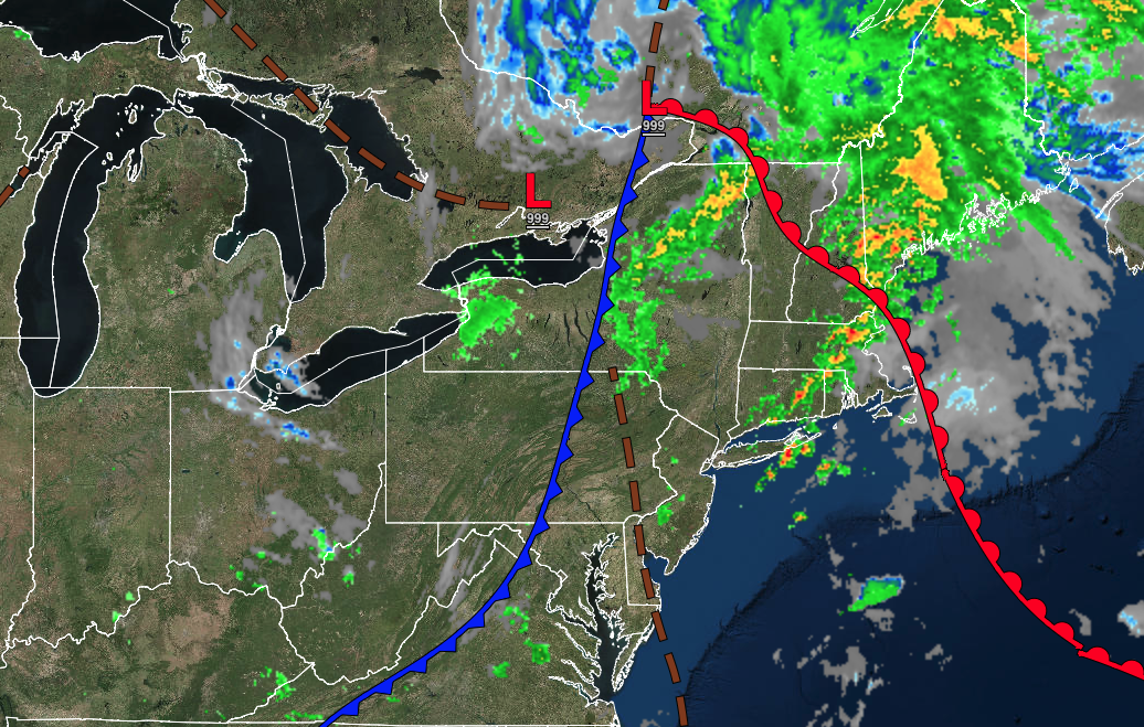
A cold front will keep the threat of pesky showers through this afternoon. An active weather pattern will continue with another round of showers and a few thunderstorms for the end of the week.
TODAY
A series of troughs will pass through the region with scattered clouds and widely scattered showers. Winds will be from the west at 5 to 15 mph. Temperatures will rise into the lower to mid-80s for highs.
TONIGHT
High pressure will build into the region with clearing skies. Winds will be from the west at 5 to 15 mph. Temperatures will fall into the mid to upper 60s for lows.
TOMORROW
High pressure will be in control with clear skies to scattered clouds. Winds will be from the southwest at 5 to 15 mph. Temperatures will rise into the mid to upper 80s for highs.
TOMORROW NIGHT
High pressure will exit the region with scattered clouds. Winds will be from the west at 5 to 15 mph. Temperatures will fall into the mid to upper 60s for lows.
THURSDAY
A trough will pass through the region with scattered clouds and widely scattered showers and isolated thunderstorms. Winds will be from the west at 5 to 15 mph. Temperatures will rise into the lower to mid-80s over the interior and along the coast and upper 80s to lower 90s in the Delaware River Valley for highs.
FRIDAY
A cold front will move through the region with scattered showers and thunderstorms. Winds will be from the southwest at 5 to 15 mph. Temperatures will range from the upper 60s to lower 70s for lows and lower to mid-80s along the coast and mid to upper 80s away from the coast for highs.
SATURDAY
A cold front will pass through the region with scattered showers and thunderstorms. Temperatures will range from the upper 60s to lower 70s for lows and lower to mid-80s along the coast and upper 80s to lower 90s away from the coast for highs.
SUNDAY
A series of troughs will produce scattered clouds and isolated showers and thunderstorms. Temperatures will range from the lower to mid-70s for lows and lower to mid-80s along the coast and upper 80s to lower 90s away from the coast for highs.
MONDAY
A series of troughs will produce scattered clouds and isolated showers and thunderstorms. Temperatures will range from the lower to mid-70s for lows and lower to mid-80s along the coast and upper 80s to lower 90s away from the coast for highs.
TUESDAY
A series of troughs will produce scattered clouds and isolated showers and thunderstorms. Temperatures will range from the upper 60s to lower 70s for lows and lower to mid-80s along the coast and upper 80s to lower 90s away from the coast for highs.


