

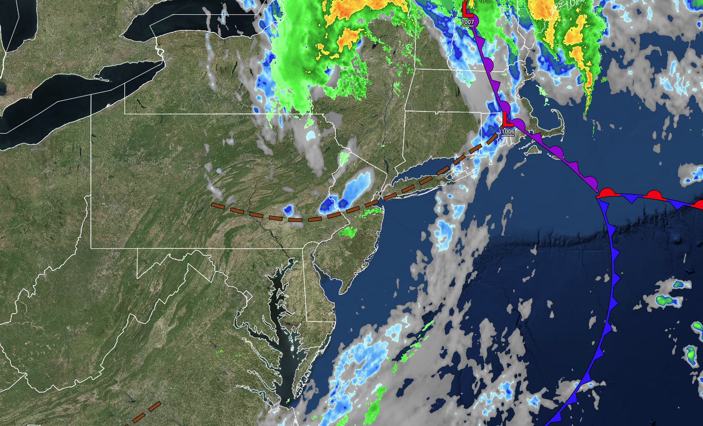
A brief brief in widespread showers and thunderstorms will return to the region tonight, but an unsettled, humid pattern will return by the end of the week.
TONIGHT
A trough will pass through the region with scattered clouds and a few isolated showers. Winds will be from the northwest at 5 to 15 mph. Temperatures will fall into the lower to mid-60s for lows.
TOMORROW
High pressure will produce scattered cloud cover. Winds will be from the west at 5 to 15 mph. Temperatures will rise into the lower to mid-80s over the interior, upper 80s to lower 90s in the Delaware River Valley, and mid to upper 80s along the coast for highs.
TOMORROW NIGHT
A trough will approach the region with scattered clouds and a few isolated showers. Fog will be a threat. Winds will be from the southwest at 5 to 10 mph. Temperatures will fall into the mid to upper 60s over the interior and upper 60s to lower 70s along the coast for lows.
WEDNESDAY
A trough will produce scattered clouds and isolated thunderstorms. Winds will be from the southwest at 5 to 15 mph. Temperatures will rise into the lower to mid-80s over the interior, upper 80s to mid-90s in the Delaware River Valley, and mid to upper 80s along the coast for highs.
THURSDAY
A stalling cold front will produce scattered clouds and scattered strong to severe thunderstorms. Winds will be from the south at 5 to 15 mph. Temperatures will range from the mid to upper 60s over the interior, upper 60s to lower 70s in the suburbs, and lower to mid-70s in urban areas for lows and lower to mid-80s over the interior, upper 80s to lower 90s in the Delaware River Valley, and lower to mid-80s along the coast for highs.
FRIDAY
A stalled cold front will produce variable clouds and scattered showers and thunderstorms. Winds will be from the south at 5 to 15 mph. Temperatures will range from the mid to upper 60s over the interior and lower to mid-70s along the coast for lows and lower to mid-80s for highs.
SATURDAY
A trough will linger over the region with scattered clouds and isolated showers and thunderstorms. Temperatures will range from the mid-60s to lower 70s for lows and mid-80s to lower 90s for highs.
SUNDAY
A trough will linger over the region with scattered clouds and isolated showers and thunderstorms. Temperatures will range from the mid-60s to lower 70s for lows and lower to mid-80s along the coast and mid to upper 80s away from the coast for highs.
MONDAY
A trough will linger over the region with scattered clouds and isolated showers and thunderstorms. Temperatures will range from the lower to mid-60s over the interior and upper 60s to lower 70s along the coast for lows and mid-80s to lower 90s for highs.
TUESDAY
A cold front will move through the region with scattered showers and thunderstorms. Temperatures will range from the upper 60s to mid-70s for lows and lower to mid-80s along the coast, upper 80s to lower 90s in the Delaware River Valley, and mid to upper 80s over the interior for highs.


