

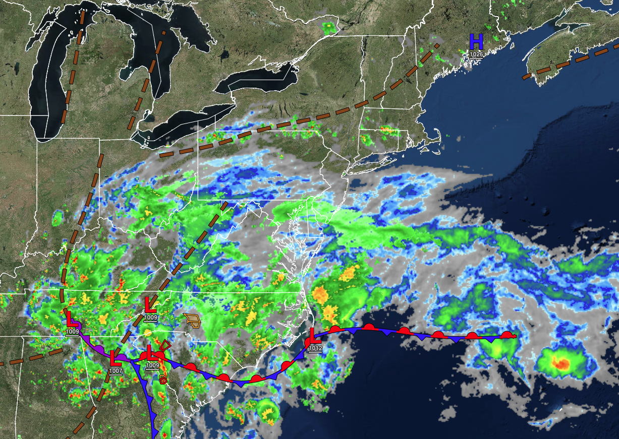
A storm to the south will slowly push northwards over the next several days bringing the potential for showers and thunderstorms to the region each day.
TONIGHT
A series of troughs will pass through the region with variable clouds and isolated showers. Winds will be from the east at 5 to 15 mph. Temperatures will fall into the upper 50s to lower 60s over the interior and lower to mid-60s along the coast for lows.
TOMORROW
A series of troughs will produce scattered clouds with isolated showers. Winds will be from the east at 5 to 15 mph. Temperatures will rise into the mid to upper 70s away from the coast and lower to mid-70s along the coast for highs.
TOMORROW NIGHT
A warm front will approach with increasing clouds and scattered showers and thunderstorms. Winds will be from the east at 5 to 15 mph. Temperatures will fall into the mid to upper 50s over the interior and upper 50s to lower 60s along the coast for lows.
THURSDAY
A warm front will approach the region with increasing clouds and scattered showers and thunderstorms. The thunderstorms will be capable of heavy downpours, frequent lightning, and wind gusts over 40 mph. Winds will be from the east at 5 to 15 mph. Temperatures will rise into the lower to mid-60s over the interior and upper 60s to lower 70s along the coast for highs.
FRIDAY
A warm front will lift through the region with increasing clouds and scattered showers and thunderstorms. Winds will be from the east at 5 to 15 mph. Temperatures will range from the lower to mid-60s over the interior and mid to upper 60s along the coast for lows and upper 70s to lower 80s away from the coast and mid to upper 70s along the coast for highs.
SATURDAY
A cold front will slowly approach the region with scattered showers and thunderstorms and increasing humidity. Temperatures will range from the mid-60s to lower 70 for lows and mid to upper 70s over the interior, lower to mid-80s in the Delaware River Valley, and mid to upper 70s along the coast for highs.
SUNDAY
A cold front will slowly approach the region with waves of showers and thunderstorms and increasing humidity. Temperatures will range from the mid-60s to lower 70s for lows and mid to upper 70s over the interior, upper 70s to lower 80s in the Delaware River Valley, and mid to upper 70s along the coast for highs.
MONDAY
A cold front will stall over the region with waves of low pressure producing showers and thunderstorms. Temperatures will range from the lower to mid-60s over the interior and upper 60s to lower 70s along the coast for lows and mid to upper 70s along the coast and lower to mid-80s away from the coast for highs.
TUESDAY
A cold front will stall over the region with waves of low pressure producing showers and thunderstorms. Temperatures will range from the upper 60s to lower 70s for lows and lower to mid-70s over the interior, upper 70s to lower 80s in the Delaware River Valley, and lower to mid-70s along the coast for highs.
WEDNESDAY
A trough will linger over the region with variable clouds and isolated to widely scattered showers. Temperatures will range from the lower to mid-60s over the interior and mid to upper 60s along the coast for lows and mid to upper 70s over the interior, lower to mid-80s in the Delaware River Valley, and mid to upper 70s along the coast for highs.


