

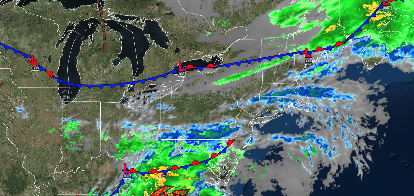
A cold front tonight will usher in a cooler weather pattern for the rest of the week. More rainfall returns by the weekend.
TONIGHT
A cold front will move through the region with broken clouds and isolated showers. Winds will veer from the southwest to the northwest at 5 to 15 mph. Temperatures will fall into the lower to mid-40s over the interior, upper 40s to mid-50s in the suburbs, and mid to upper 50s in urban areas for lows.
TOMORROW
A cold front will exit early in the morning with isolated showers followed by clearing skies. Winds will be from the northwest at 5 to 15 mph. Temperatures will rise into the mid-50s to lower 60s over the interior, lower to mid-60s along the coast, and mid to upper 60s in the Delaware River Valley for highs.
TOMORROW NIGHT
High pressure will produce clear skies to scattered clouds. Winds from the northwest at 5 to 15 mph. Temperatures will fall into the mid to upper 30s over the interior and lower to mid-40s along the coast for lows.
THURSDAY
High pressure will produce clear skies to scattered clouds. Winds will be from the northwest at 5 to 15 mph. Temperatures will rise into the upper 50s to lower 60s over the interior, lower to mid-60s along the coast, and mid to upper 60s in the Delaware River Valley for highs.
FRIDAY
High pressure will produce scattered clouds. Winds will veer to the southeast at 5 to 15 mph. Temperatures will range from the lower to mid-40s over the interior, mid to upper 40s along the coast, and upper 40s to lower 50s in urban areas for lows.
SATURDAY
A cold front will approach from the west while a low-pressure system approaches from the south with periods of rain along the coast and scattered showers over the interior in the afternoon and evening hours. Winds will be from the southwest at 10 to 20 mph. Temperatures will range from the lower to mid-50s over the interior and mid to upper 50s along the coast for lows and lower to mid-60s on Long Island, mid to upper 60s along the coast, upper 60s to lower 70s over the interior, and lower to mid-70s in the Delaware River Valley for highs.
SUNDAY
A cold front will clear the region early in the morning followed by clearing skies. Temperatures will range from the mid-40s to lower 50s over the interior and mid to upper 50s along the coast for lows and lower to mid-70s over the interior, upper 60s to lower 70s along the coast, and mid to upper 70s in the Delaware River Valley for highs.
MONDAY
High pressure will produce clear skies to scattered clouds. Temperatures will range from the upper 40s to lower 50s for lows and mid to upper 70s along the coast and upper 70s to lower 80s away from the coast for highs.
TUESDAY
High pressure will produce clear skies to scattered clouds. Temperatures will range from the lower to mid-40s over the interior, upper 40s to mid-50s in the suburbs, and mid to upper 50s in urban areas for lows and mid to upper 60s on Long Island, lower to mid-70s along the coast, and mid to upper 70s away from the coast for highs.
WEDNESDAY
High pressure will produce clear skies to scattered clouds. Temperatures will range from the upper 40s to lower 50s for lows and mid to upper 60s on Long Island, lower to mid-70s along the coast, lower to mid-70s over the interior, and mid to upper 70s in the Delaware River Valley for highs.


