

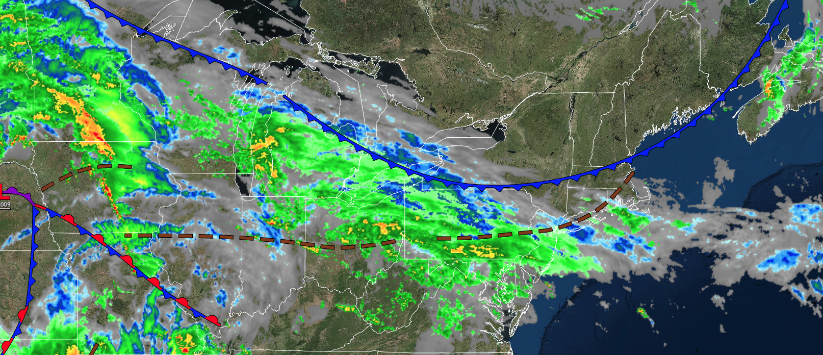
An area of low pressure will bring waves of showers for most locations south of Philadelphia, but cloudy conditions elsewhere. A string of pleasant weather conditions begins this evening.
TODAY
An area of low pressure will pass to the south of the region with variable clouds and isolated showers for most of the region, but periods of rain for extreme southeastern Pennsylvania and southern New Jersey in the morning through the early afternoon. Skies will clear towards evening. Winds will back to the northwest at 5 to 15 mph. Temperatures will rise into the mid to upper 70s for highs.
TONIGHT
Skies will clear with winds from the northwest at 5 to 15 mph. Temperatures will fall into the lower to mid-40s over the interior and upper 40s to lower 50s along the coast for lows.
TOMORROW
High pressure will produce clear skies to scattered clouds. Winds will be from the northwest at 5 to 15 mph. Temperatures will rise into the lower to mid-60s over the interior, mid to upper 60s along the coast, and upper 60s to lower 70s in the Delaware River Valley for highs.
TOMORROW NIGHT
High pressure will produce clear skies to scattered clouds. Winds will be from the northwest at 5 to 15 mph. Temperatures will fall into the lower to mid-40s over the interior and upper 40s to lower 50s along the coast for lows.
MONDAY
High pressure will produce clear skies to scattered clouds. Winds will be from the north at 5 to 15 mph. Temperatures will rise into the lower to mid-60s over the interior, mid to upper 60s along the coast, and upper 60s to lower 70s in the Delaware River Valley for highs.
TUESDAY
A cold front will move through the region with variable clouds and an isolated shower for the extreme northern interior. Winds will be from the southwest at 5 to 15 mph. Temperatures will range from the mid to upper 40s over the interior and lower to mid-50s along the coast for lows and mid to upper 60s over the interior, upper 60s to lower 70s along the coast, and lower to mid-70s in the Delaware River Valley for highs.
WEDNESDAY
High pressure will produce scattered clouds. Temperatures will range from the upper 30s to mid-40s over the interior and upper 40s to lower 50s along the coast for lows and lower to mid-50s over the interior and upper 50s to mid-60s along the coast for highs.
THURSDAY
High pressure will produce scattered clouds. Temperatures will range from the lower to mid-30s over the interior and upper 30s to lower 40s along the coast for lows and upper 50s to lower 60s for highs.
FRIDAY
High-pressure exit the region with increasing clouds. Temperatures will range from the lower to mid-50s for lows and upper 60s to mid-70s along the coast and mid to upper 70s away from the coast for highs.
SATURDAY
A cold front will produce widespread showers and thunderstorms. A few thunderstorms may reach severe levels. Temperatures will range from the mid to upper 50s over the interior and lower to mid-60s along the coast for lows and upper 60s to lower 70s along the coast, upper 60s to lower 70s over the interior, and mid to upper 70s in the Delaware River Valley for highs.


