

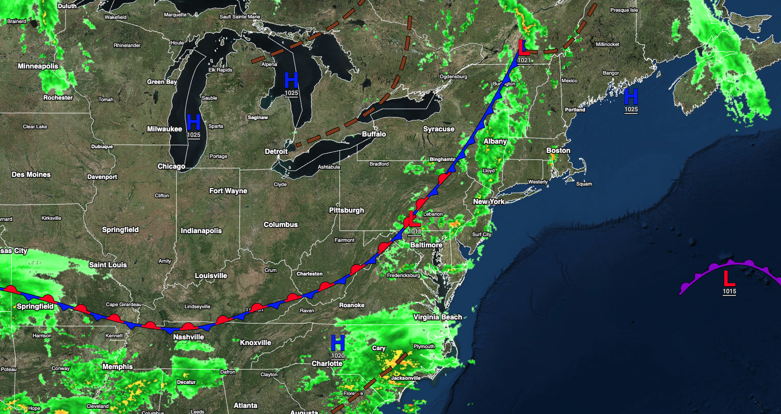
A cold front will produce periods of showers tonight. More widespread rainfall invades on Friday night.
TONIGHT
A cold front will slowly move through the region with broken clouds and scattered showers. A few showers will be capable of brief heavy downpours. Winds will be from the southeast at 5 to 10 mph. Temperatures will fall into the mid to upper 30s over the interior and lower to mid-40s along the coast for lows.
TOMORROW
A stationary front will linger over the region with scattered clouds and widely scattered showers. Winds will be from the southeast at 5 to 15 mph. Temperatures will rise into the mid to upper 50s along the coast, upper 50s to lower 60s over the interior, and lower to mid-60s in the Delaware River Valley for highs.
TOMORROW NIGHT
A trough will linger over the region with scattered clouds and isolated showers. Winds will be from the southeast at 5 to 10 mph. Temperatures will fall into the upper 30s to lower 40s over the interior and lower to mid-40s along the coast for lows.
FRIDAY
A stationary front will linger over the region with scattered clouds and isolated showers. Rain will develop late in the evening. Winds will be from the southeast at 5 to 15 mph. Temperatures will rise into the upper 50s to lower 60s along the coast, lower to mid-60s over the interior, and mid to upper 60s in the Delaware River Valley for highs.
SATURDAY
An area of low pressure will produce periods of rain. Winds will be from the southeast at 10 to 20 mph. Temperatures will range from the lower to mid-40s over the interior and upper 40s to lower 50s along the coast for lows and lower to mid-50s over the interior, mid to upper 50s along the coast, and upper 50s to mid-60s in the Delaware River Valley for highs.
SUNDAY
A trough will linger over the region with scattered clouds and isolated showers through the afternoon. Another area of low pressure will approach in the evening with widespread rainfall returning, heavy at times. Winds will be from the east at 5 to 15 mph. Temperatures will range from the lower to mid-40s over the interior and upper 40s to lower 50s along the coast for lows and mid to upper 60s over the interior, mid to upper 60s along the coast, and lower to mid-70s in the Delaware River Valley for highs.
MONDAY
An area of low pressure will exit the region with periods of rain, heavy at times, through the afternoon. Temperatures will range from the mid to upper 40s over the interior and lower to mid-50s along the coast for lows and mid to upper 50s for highs.
TUESDAY
A trough will linger over the region with scattered clouds and isolated showers. Temperatures will range from the mid to upper 30s over the interior and lower to mid-40s along the coast for lows and upper 40s to lower 50s over the interior and mid to upper 50s along the coast for highs.
WEDNESDAY
A cold front will produce widely scattered showers. Temperatures will range from the mid to upper 30s over the interior and lower to mid-40s along the coast for lows and lower to mid-50s over the interior and mid to upper 50s along the coast for highs.
THURSDAY
High pressure will produce scattered clouds. Temperatures will range from the upper 30s to lower 40s over the interior and lower to mid-40s along the coast for lows and mid to upper 50s over the interior and lower to mid-60s along the coast for highs.


