

A tropical air mass in place will support the threat of record-breaking high temperatures tomorrow. A cool, unsettled weather pattern returns by the weekend.
TONIGHT
High pressure will produce clear skies to scattered clouds. Winds will be from the southwest at 5 to 15 mph. Temperatures will fall into the lower to mid-50s for lows.
TOMORROW
High pressure will produce clear skies to scattered clouds. Winds will be from the southwest at 5 to 15 mph. Temperatures will rise into the mid to upper 70s on Long Island, upper 70s to lower 80s along the coast, upper 70s to lower 80s over the interior, and mid to upper 80s in the Delaware River Valley for highs.
TOMORROW NIGHT
High pressure will exit the region with increasing clouds. Winds will be from the southwest at 5 to 15 mph. Temperatures will fall into the lower to mid-50s over the interior, mid to upper 50s along the coast, and upper 50s to lower 60s in urban areas for lows.
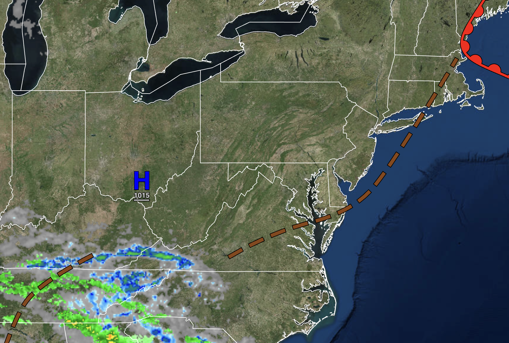
SATURDAY
An area of low pressure will approach with increasing clouds and widely scattered showers. Winds will be from the southwest at 5 to 15 mph. Temperatures will rise into the upper 60s to lower 70s along the coast and mid to upper 70s away from the coast for highs.
SUNDAY
A cold front will approach with increasing clouds through the afternoon. Showers and thunderstorms can be expected in the evening and overnight hours. The thunderstorms will be capable of heavy downpours, occasional lightning, and wind gusts over 40 mph. Winds will be from the northeast at 5 to 15 mph. Temperatures will range from the mid-50s to lower 60s for lows and upper 60s to lower 70s along the coast and lower to mid-70s away from the coast for highs.
MONDAY
A cold front will exit with showers and thunderstorms in the morning followed by scattered clouds and isolated showers. Temperatures will range from the lower to mid-50s over the interior and mid to upper 50s along the coast for lows and lower to mid-60s over the interior and mid to upper 60s along the coast for highs.
TUESDAY
A trough will produce cloudy skies and scattered showers. Temperatures will range from the mid to upper 30s over the interior and lower to mid-40s along the coast for lows and mid to upper 40s over the interior and lower to mid-50s along the coast for highs.
WEDNESDAY
A trough will linger over the region with broken cloud cover and isolated showers. Temperatures will range from the upper 30s to lower 40s over the interior and lower to mid-40s along the coast for lows and upper 40s to lower 50s over the interior and mid-50s to lower 60s along the coast for highs.
THURSDAY
High pressure will produce scattered clouds. Temperatures will range from the mid to upper 30s over the interior and lower to mid-40s along the coast for lows and lower to mid-60s on Long Island, mid to upper 60s on the coast, mid to upper 60s over the interior, and lower to mid-70s in the Delaware River Valley for highs.
FRIDAY
A back-door cold front will produce broken clouds and scattered showers. Temperatures will range from the upper 40s to lower 50s for lows and upper 50s to mid-60s in Connecticut, Hudson River Valley, Long Island, and the New York City metropolitan areas; upper 60s to mid-70 from northeastern Pennsylvania, northwestern New Jersey, and central New Jersey; and upper 70s to mid-80s in southeastern Pennsylvania and southern New Jersey for highs.


