

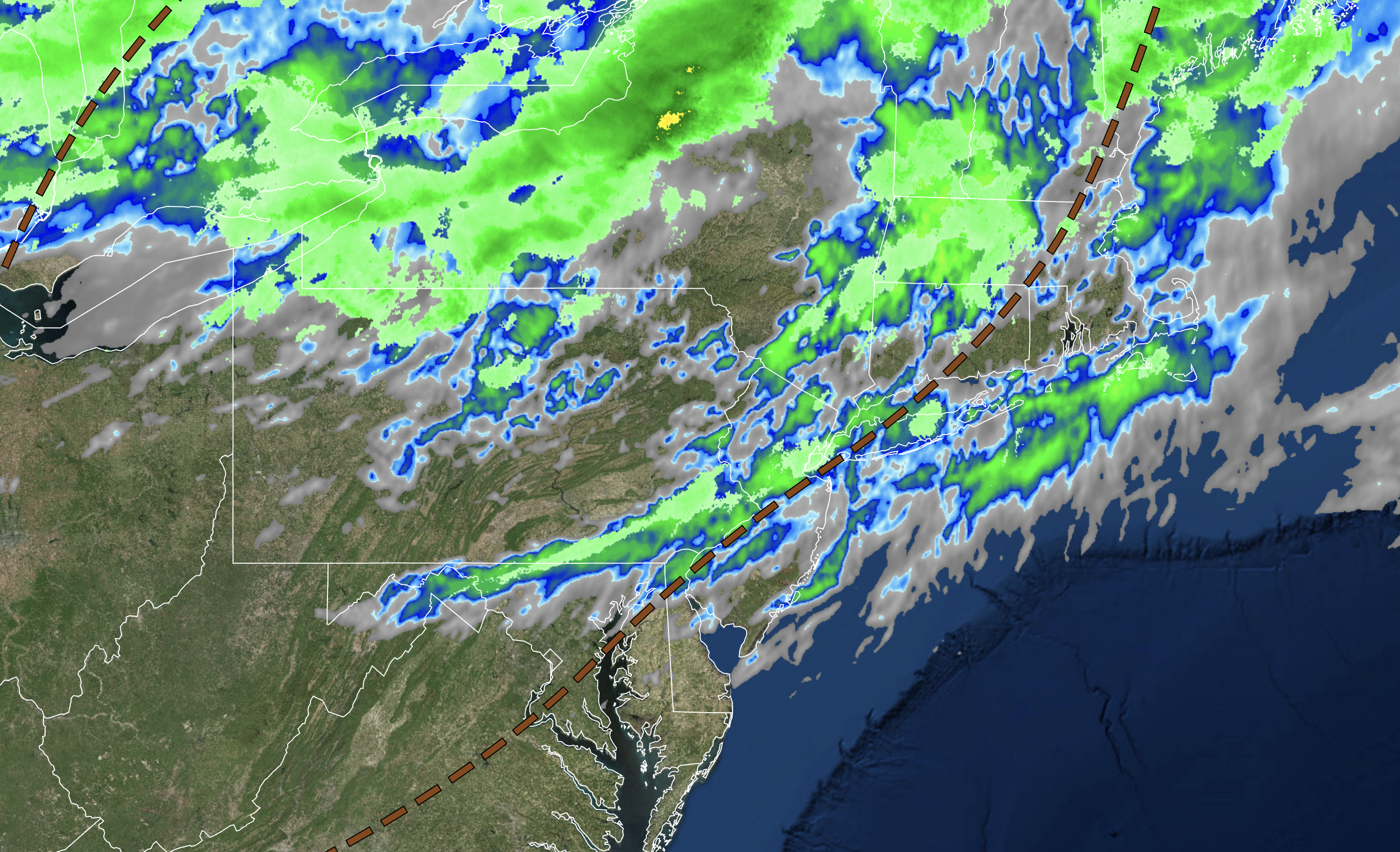
A trough will introduce increasing cloud cover and a few showers followed by Summer-like conditions to end the week.
TONIGHT
High pressure will exit with increasing clouds. Winds will be from the southwest at 5 to 15 mph. Temperatures will fall into the mid to upper 40s over the interior and lower to mid-50s along the coast for lows.
TOMORROW
A warm front will produce scattered clouds and isolated showers in the afternoon. Winds will be from the west at 5 to 15 mph. Temperatures will rise into the lower to mid-70s for highs.
TOMORROW NIGHT
High pressure will build into the region with clearing skies. Winds will be from the southwest at 5 to 15 mph. Temperatures will fall into the upper 40s to lower 50s over the interior and lower to mid-50s along the coast for lows.
THURSDAY
High pressure will produce clear skies to scattered clouds. Winds will be from the southwest at 5 to 15 mph. Temperatures will rise into the lower to mid-70s along the coast, mid to upper 70s over the interior, and upper 70s to lower 80s in the Delaware River Valley for highs.
FRIDAY
High pressure will produce clear skies to scattered clouds. Winds will be from the southwest at 5 to 15 mph. Temperatures will range from lower to mid-50s for lows and mid to upper 70s along the coast, upper 70s to lower 80s over the interior, and lower to mid-80s in the Delaware River Valley for highs.
SATURDAY
An area of low pressure will approach with increasing clouds and widely scattered showers. Winds will be from the southwest at 5 to 15 mph. Temperatures will range from the lower to mid-50s over the interior, mid to upper 50s along the coast, and upper 50s to lower 60s in urban areas for lows and upper 60s to lower 70s along the coast and mid to upper 70s away from the coast for highs.
SUNDAY
A cold front will approach with increasing clouds through the afternoon. Showers and thunderstorms can be expected in the evening and overnight hours. Temperatures will range from the mid to upper 50s for lows and upper 60s to lower 70s along the coast, mid to upper 70s over the interior, and mid-70s to lower 80s in the Delaware River Valley for highs.
MONDAY
A cold front will exit with showers and thunderstorms in the morning followed by clearing skies. Temperatures will range from the lower to mid-50s over the interior and mid to upper 50s along the coast for lows and lower to mid-60s over the interior and mid to upper 60s along the coast for highs.
TUESDAY
A trough will produce cloudy skies and scattered showers. Temperatures will range from the mid to upper 30s over the interior and lower to mid-40s along the coast for lows and mid to upper 40s over the interior and lower to mid-50s along the coast for highs.
WEDNESDAY
A trough will linger over the region with broken cloud cover and isolated showers. Temperatures will range from the upper 30s to lower 40s over the interior and lower to mid-40s along the coast for lows and upper 40s to lower 50s over the interior and mid-50s to lower 60s along the coast for highs.


