

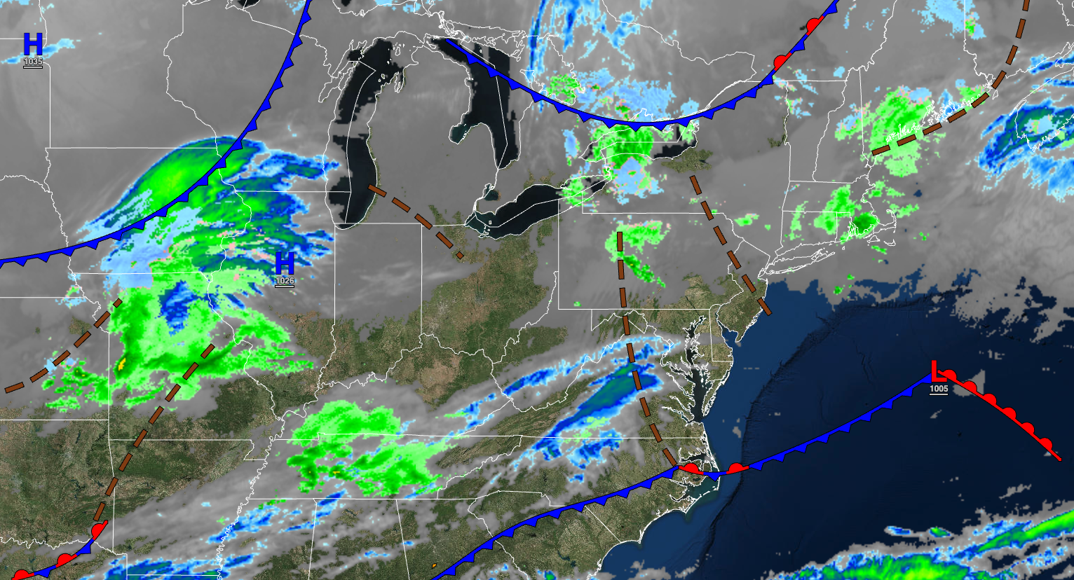
A series of troughs and cold fronts will keep conditions cool through the week. Thunderstorms are a threat by this Saturday.
TODAY
An area of low pressure will exit the region in the early morning with showers followed by clearing skies. Winds will be from the northwest at 5 to 15 mph. Temperatures will rise into the mid to upper 40s over the interior and upper 40s to lower 50s along the coast for highs.
TONIGHT
High pressure will build into the region with scattered clouds. Winds will be from the northwest at 5 to 10 mph. Temperatures will fall into the mid to upper 20s over the interior and lower to mid-30s along the coast for lows.
TOMORROW
High pressure will produce scattered clouds. Winds will be from the southwest at 5 to 15 mph. Temperatures will rise into the upper 40s to lower 50s over the interior, lower to mid-50s along the coast, and mid to upper 50s in the Delaware River Valley for highs.
TOMORROW NIGHT
A cold front will move through the region with isolated rain and snow showers after midnight. Winds will veer from the southwest to the northwest at 5 to 15 mph. Temperatures will fall into the lower to mid-2s over the interior and upper 20s to lower 30s along the coast for lows.
THURSDAY
A cold front will pass through the region in the morning with isolated showers followed by clearing skies. Winds will be from the northwest at 5 to 15 mph. Temperatures will rise into the upper 30s to lower 40s over the interior and mid to upper 40s along the coast for highs.
FRIDAY
High pressure will exit the region with increasing clouds. Winds will veer to the south at 10 to 20 mph. Temperatures will range from the upper 20s to the lower 30s for lows and lower to mid-50s along the coast, mid to upper 50s over the interior, and upper 50s to mid-60s in the Delaware River Valley for highs.
SATURDAY
An area of low pressure will produce periods of rain, heavy at times, and embedded thunderstorms. Temperatures will range from the upper 40s to mid-50s for lows and mid to upper 60s along the coast, upper 60s to lower 70 over the interior, and lower to mid-70s in the Delaware River Valley for highs.
SUNDAY
High pressure will produce scattered clouds. Temperatures will range from the lower to mid-20s over the interior and upper 20s to mid-30s along the coast for lows and mid to upper 40s over the interior and lower to mid-50s along the coast for highs.
MONDAY
An area of low pressure will approach with increasing clouds and showers in the evening. Temperatures will range from the upper 30s to lower 40s for lows and upper 50s to mid-60s along the coast, lower to mid-60s over the interior, and upper 60s to lower 70s in the Delaware River Valley for highs.
TUESDAY
A back-door cold front will stall over the region with periods of showers. Temperatures will range from the mid to upper 30s over the interior and lower to mid-40s along the coast for lows and upper 40s to lower 50s for highs.


