


Increasing clouds will take hold as warm air surges into the region. Showers return for the end of the week.
TONIGHT
High pressure will produce increasing clouds. Winds will be from the southwest at 5 to 15 mph. Temperatures will fall into the mid to upper 30s for lows.
TOMORROW
High pressure will exit the region with increasing clouds. Winds will be from the southwest at 5 to 15 mph. Temperatures will rise into the lower to mid-50s along the coast and mid to upper 50s away from the coast for highs.
TOMORROW NIGHT
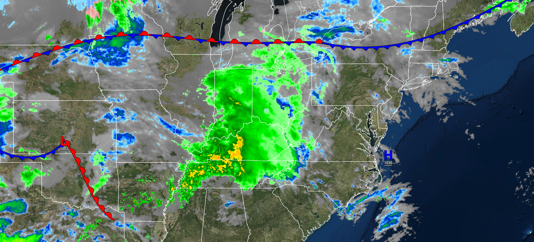
A cold front will approach the region with increasing clouds and a few isolated showers. Winds will be from the southwest at 5 to 15 mph. Temperatures will fall into the mid to upper 40s over the interior and upper 40s to lower 50s along the coast for lows.
THURSDAY
A cold front will stall over the region with cloudy skies and scattered showers. Winds will be from the west-southwest at 5 to 15 mph. Temperatures will rise into the upper 50s to lower 60s over the interior, lower to mid-60s along the coast, and mid to upper 60s in the Delaware River Valley for highs.
FRIDAY
A warm front will lift northward as a low-pressure system approaches with overcast skies and isolated showers. Winds will be from the west-northwest at 5 to 15 mph. Temperatures will range from the lower to mid-30s over the interior, upper 30s to lower 40s over the interior, and mid to upper 40s along the coast for lows and mid to upper 40s over the interior and lower to mid-50s along the coast for highs.
SATURDAY
An area of low pressure will produce periods of showers. Temperatures will range from the lower to mid-30s over the interior and upper 30s to lower 40s along the coast for lows and upper 30s to lower 40s over the interior and mid to upper 40s along the coast for highs.
SUNDAY
High pressure will produce scattered clouds. Temperatures will range from the lower to mid-30s over the interior and mid to upper 30s along the coast for lows and lower to mid-50s over the interior and mid-50s to lower 60s along the coast for highs.
MONDAY
An area of low pressure will produce scattered showers. Temperatures will range from the upper 20s to lower 30s over the interior and mid to upper 30s along the coast for lows and lower to mid-50s over the interior, lower to mid-50s along the coast, and mid to upper 50s in the Delaware River Valley.
TUESDAY
An area of low pressure will produce scattered showers. Temperatures will range from the mid to upper 40s over the interior, upper 40s to lower 50s along the coast, and lower to mid-50s in the Delaware River Valley for lows and lower to mid-50s over the interior and upper 50s to lower 60s along the coast for highs.
WEDNESDAY
High pressure will produce scattered clouds. Temperatures will range from the upper 20s to lower 30s over the interior and mid to upper 30s along the coast for lows and upper 30s to lower 40s over the interior and mid to upper 40s along the coast for highs.


