


Drier weather conditions will take hold along with windy conditions by tomorrow afternoon. Rainfall returns by the end of the week.
TODAY
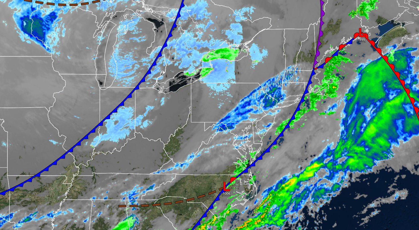
A series of cold fronts will pass through the region with scattered clouds. Winds will be from the west at 5 to 15 mph. Temperatures will rise into the lower to mid-40s over the interior and upper 40s to lower 50s along the coast for highs.
TONIGHT
High pressure will produce scattered clouds. Winds will be from the west at 5 to 15 mph. Temperatures will fall into the upper 10s to the lower 20s along the coast and mid to upper 20s along the coast for lows.
TOMORROW
High pressure will produce scattered clouds. Winds will be from the west at 10 to 20 mph with gusts up to 35 mph. Temperatures will rise into the lower to mid-30s over the interior and upper 30s to lower 40s along the coast for highs.
TOMORROW NIGHT
High pressure will produce scattered clouds. Winds will be from the west at 5 to 15 mph. Temperatures will fall into the lower to mid-20s over the interior and mid to upper 20s along the coast for lows.
MONDAY
High pressure will produce scattered clouds. Winds will be from the west at 5 to 15 mph. Temperatures will rise into the lower to mid-40s over the interior, mid to upper 40s along the coast, and upper 40s to lower 50s in the Delaware River Valley for highs.
TUESDAY
High pressure will produce clear skies to scattered clouds. Winds will be from the southwest at 5 to 15 mph. Temperatures will range from the upper 20s to the lower 30s for lows and lower to mid-50s over the interior, lower to mid-50s along the coast, and upper 50s to lower 60s in the Delaware River Valley for highs.
WEDNESDAY
High pressure will exit the region with increasing clouds. Temperatures will range from the lower to mid-30s for lows and mid to upper 50s over the interior, lower to mid-50s along the coast, and upper 50s to mid-60s for highs.
THURSDAY
A cold front will stall over the region with cloudy skies and scattered showers. Temperatures will range from the mid to upper 40s for lows and mid to upper 50s for highs.
FRIDAY
A warm front will lift northward as a low-pressure system approaches with periods of showers. Temperatures will range from the mid-30s to the lower 40s over the interior and mid to upper 40s along the coast for lows and upper 40s to mid-50s over the interior and upper 50s to mid-60s along the coast for highs.
SATURDAY
An area of low pressure will produce periods of showers. Temperatures will range from the mid to upper 30s over the interior and lower to mid-40s along the coast for lows and upper 50s to lower 60s over the interior, upper 50s to mid-60s along the coast, and upper 60s to mid-70s in the Delaware River Valley for highs.


