

Tranquil conditions return as high pressure builds into the region tonight. A relaxation of the weather pattern is expected through next week.
TONIGHT
High pressure will be in control with scattered cloud cover expected. Winds will be from the northwest at 5 to 15 mph. Temperatures will fall into the mid to upper 10s over the interior, lower to mid-20s in the suburbs, and mid to upper 20s in urban areas and along the coast for lows.
TOMORROW
High pressure will produce clear skies to scattered cloud cover. Winds will be from the northwest at 5 to 15 mph. Temperatures will rise into the upper 40s to lower 50s over the interior, lower to mid-50s along the coast, and mid to upper 50s in the Delaware River Valley for highs.
TOMORROW NIGHT
High pressure will produce clear skies to scattered clouds. Winds will be from the west at 5 to 10 mph. Temperatures will fall into the upper 30s to lower 40s for lows.
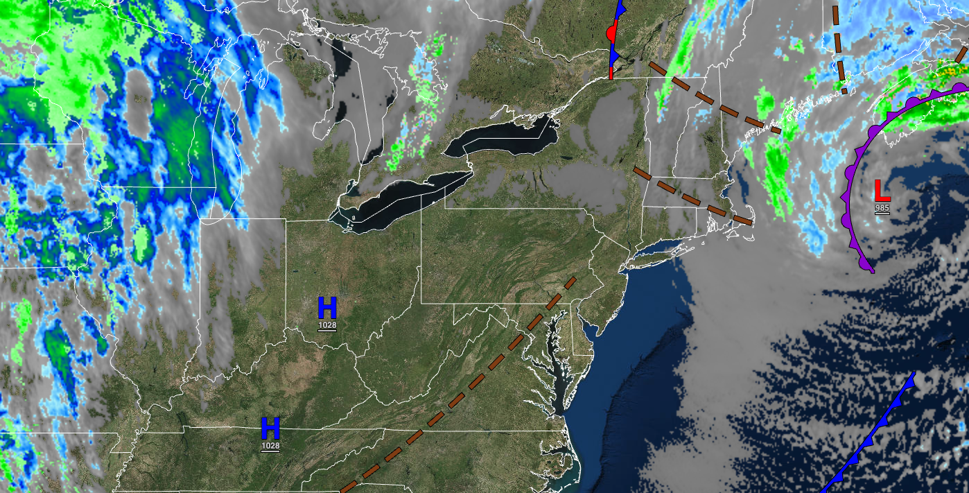
FRIDAY
A cold front will approach the region with scattered showers in the afternoon and evening. Winds will be from the southwest at 5 to 15 mph. Temperatures will rise into the mid-40s to lower 50s over the interior, lower to mid-50s along the coast, and mid-50s to lower 60s in the Delaware River Valley for highs.
SATURDAY
A cold front will pass through the region with scattered showers in the morning followed by clearing skies. Winds will be from the west at 5 to 15 mph. Temperatures will range from the mid to upper 30s over the interior and lower to mid-40s along the coast for lows and upper 40s to lower 50s over the interior and lower to mid-50s along the coast for highs.
SUNDAY
High pressure will produce scattered clouds. Winds will be from the west at 1o to 20 mph. Temperatures will range from the lower to mid-20s over the interior and upper 20s to mid-30s along the coast for lows and lower to mid-30s over the interior and upper 30s to lower 40s along the coast for highs.
MONDAY
High pressure will produce scattered clouds. Temperatures will range from the upper 10s to lower 20s over the interior and lower to mid-20s along the coast for lows and mid to upper 40s over the interior and upper 40s to lower 50s along the coast for highs.
TUESDAY
High pressure will produce clear skies to scattered clouds. Temperatures will range from the mid-20s to lower 30s for lows and upper 40s to lower 50s over the interior, lower to mid-50s along the coast, and mid to upper 50s in the Delaware River Valley for highs.
WEDNESDAY
High pressure will produce clear skies to scattered clouds. Temperatures will range from the mid to upper 20s over the interior and lower to mid-30s along the coast for lows and upper 40s over the interior, upper 40s to lower 50s along the coast, and lower to mid-50s in the Delaware River Valley for highs.
THURSDAY
High pressure will produce clear skies to scattered clouds. Temperatures will range from the lower to mid-20s over the interior and upper 20s to lower 30s along the coast for lows and mid to upper 40s over the interior, upper 40s to lower 50s along the coast, and lower to mid-50s in the Delaware River Valley for highs.


