

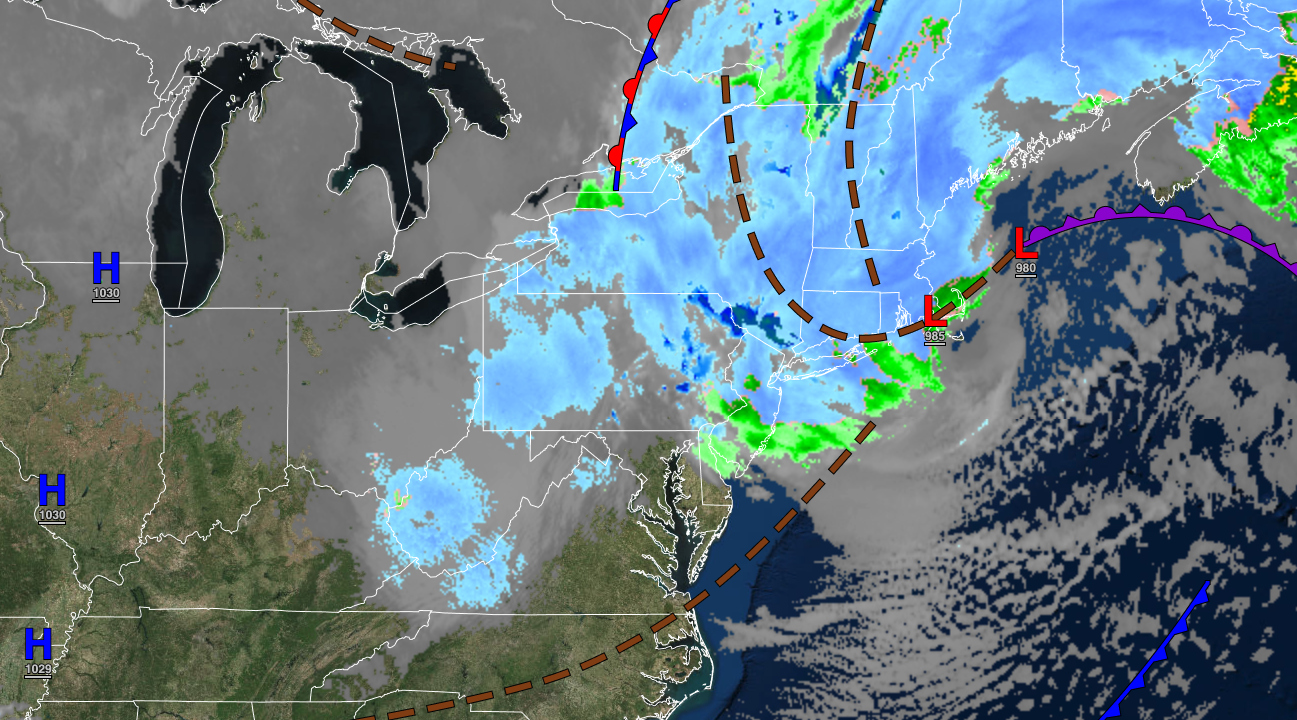
A powerful winter storm in the Gulf of Maine will slowly pull away from the region with lingering snow showers and windy conditions.
TONIGHT
The low-pressure system will exit with overcast skies and lingering snow showers through midnight followed by clearing skies towards morning. Winds will be from the northwest at 15 to 30 mph with gusts over 40 mph at times. Temperatures will fall into the mid to upper 20s over the interior and lower to mid-30s along the coast for lows.
TOMORROW
High pressure will produce clear skies to scattered clouds. Winds will be from the northwest at 10 to 20 mph with gusts up to 30 mph. Temperatures will rise into the mid to upper 30s over the interior, lower to mid-40s around the New York City metropolitan area, and mid to upper 40s in the Philadelphia metropolitan area for highs.
TOMORROW NIGHT
High pressure will produce clear skies to scattered clouds. Winds will be from the northwest at 5 to 15 mph. Temperatures will fall into the single digits to mid-10s for higher elevations, upper 10s to mid-20s over the interior, and upper 20s to lower 30s along the coast for lows.
THURSDAY
High pressure will produce clear skies to scattered clouds. Winds will be from the northwest at 5 to 15 mph. Temperatures will rise into the mid to upper 40s over the interior and lower to mid-50s along the coast for highs.
FRIDAY
A cold front will move through the region with scattered showers in the afternoon and evening. Winds will be from the southwest at 5 to 15 mph. Temperatures will range from the mid-30s to the lower 40s for lows and mid-40s to lower 50s over the interior, lower to mid-50s along the coast, and mid-50s to lower 60s in the Delaware River Valley for highs.
SATURDAY
A cold front will pass through the region with scattered showers in the morning followed by clearing skies. Winds will be from the west at 5 to 15 mph. Temperatures will range from the mid to upper 30s over the interior and lower to mid-40s along the coast for lows and upper 40s to lower 50s over the interior and lower to mid-50s along the coast for highs.
SUNDAY
High pressure will produce scattered clouds. Temperatures will range from the lower to mid-20s over the interior and upper 20s to mid-30s along the coast for lows and lower to mid-30s over the interior and upper 30s to lower 40s along the coast for highs.
MONDAY
High pressure will produce scattered clouds. Temperatures will range from the upper 10s to lower 20s over the interior and lower to mid-20s along the coast for lows and mid to upper 40s over the interior and upper 40s to lower 50s along the coast for highs.
TUESDAY
An area of low pressure will approach with periods of rain through the region in the afternoon and evening. A wintry mix of snow, sleet, and rain will develop for the higher elevations towards midnight. Temperatures will range from the mid to upper 20s over the interior and upper 20s to lower 30s along the coast for lows and mid to upper 40s over the interior and along the coast and lower to mid-50s in the Delaware River Valley for highs.
WEDNESDAY
An area of low pressure will exit the region with periods of rain along the coast and a wintry mix over the interior in the morning followed by clearing skies. Temperatures will range from the mid-20s to lower 30s over the interior and mid-30s to lower 40s along the coast for lows and upper 40s to lower 50s over the interior and lower to mid-50s along the coast for highs.


