

A generally tranquil week of weather is on the way, but very stormy conditions are becoming likely by next weekend.
TODAY
A series of troughs will produce scattered clouds to broken cloud cover. Winds will be from the northwest at 5 to 15 mph. Temperatures will rise into the mid to upper 40s over the interior, mid-40s to lower 50s in the New York City metropolitan area, and lower to mid-50s in the Philadelphia metropolitan area for highs.
TONIGHT
High pressure will produce scattered clouds. Winds will be from the northwest at 5 to 15 mph. Temperatures will fall into the mid to upper 20s over the interior and upper 20s to lower 30s along the coast for lows.
TOMORROW
High pressure will produce scattered clouds. Winds will be from the northwest at 5 to 15 mph. Temperatures will rise into the mid to upper 40s over the interior, upper 40s to lower 50s along the coast, and lower to mid-50s in the Delaware River Valley for highs.
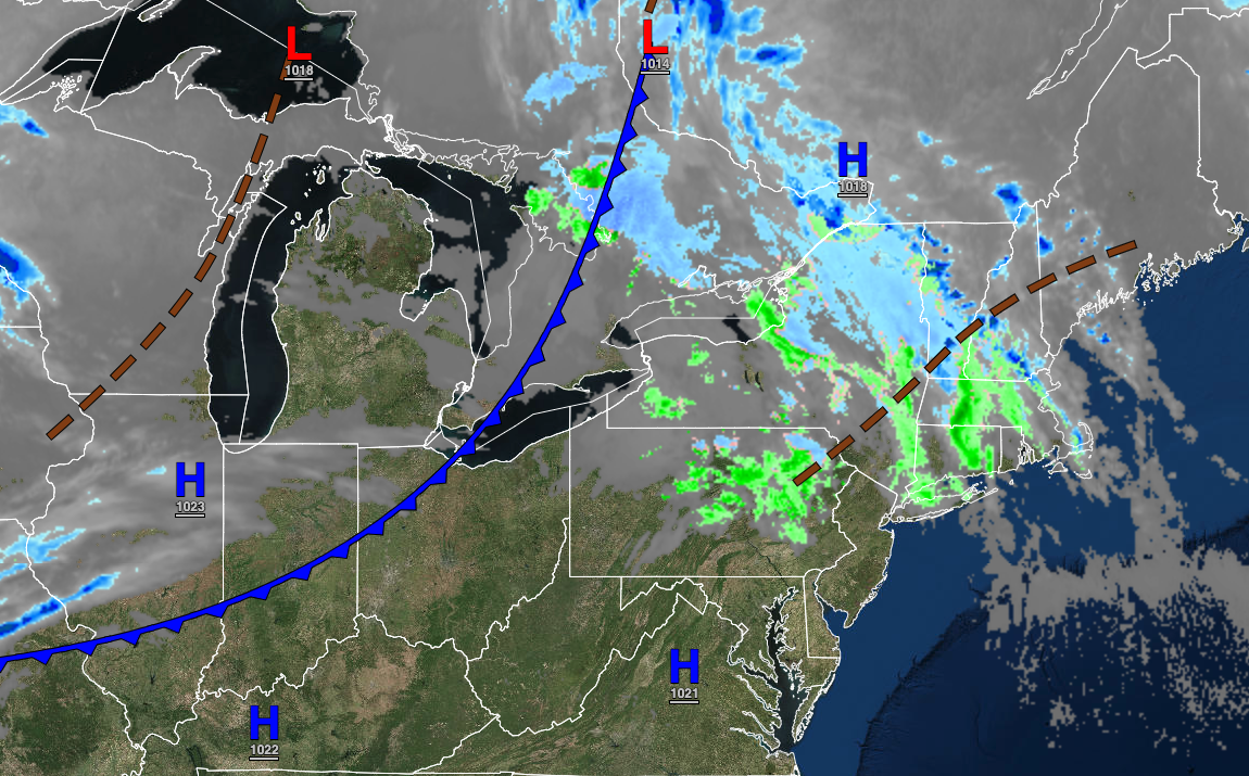
TOMORROW NIGHT
An area of low pressure will approach with increasing clouds after midnight and a wintry mix of snow and rain showers towards morning. Winds will be from the northwest at 5 to 15 mph. Temperatures will fall into the mid to upper 30s for lows.
TUESDAY
A cold front will produce rain and snow showers in the morning followed by clearing skies. A few locations away from the coast could have a dusting to 1″ of snow on cold surfaces. Winds will be from the northwest at 10 to 20 mph. Temperatures will rise into the mid to upper 40s over the interior and lower to mid-50s along the coast for highs.
WEDNESDAY
High pressure will produce clear skies to scattered clouds. Temperatures will range from the upper 20s to lower 30s for lows and mid-30s to lower 40s over the interior and mid to upper 40s along the coast for highs.
THURSDAY
High pressure will produce scattered clouds. Temperatures will range from the lower to mid-20s over the interior and upper 20s to lower 30s along the coast for lows and lower to mid-40s for highs.
FRIDAY
High pressure will produce scattered clouds. Temperatures will range from the lower to mid-30s over the interior and upper 30s to lower 30s along the coast for lows and lower to mid-40s over the interior and mid-40s to lower 50s for highs.
SATURDAY
An area of low pressure will produce periods of heavy snow, sleet, and rain with windy conditions. The details of this storm remain highly uncertain. Temperatures will range from the upper 20s to lower 30s over the interior and lower to mid-30s along the coast for lows and lower to mid-30s over the interior and upper 30s to lower 40s along the coast for highs.
SUNDAY
An area of low pressure will produce periods of heavy snow, sleet, and rain with windy conditions. The details of this storm remain highly uncertain. Temperatures will range from the mid-20s to lower 30s over the interior and lower to mid-30s along the coast for lows and lower to mid-30s over the interior and upper 30s to lower 40s along the coast for highs.


