

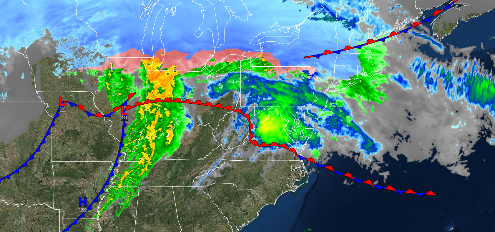
An active and volatile weather pattern will continue to produce a wide variety of precipitation types and wild temperature swings through next week.
TONIGHT
A warm front will continue to lift north with the wintry mix over the interior changing over to rain and periods of rain along the coast. Winds will be from the south at 5 to 15 mph. Temperatures will hold in the mid to upper 30s over the interior and upper 30s to lower 40s for lows.
TOMORROW
An area of low pressure and a cold front will produce scattered showers. Winds will back to the northeast at 5 to 15 mph. Temperatures will rise into the mid-40s to lower 50s in Connecticut and Long Island, lower to mid-50s in the New York City metro through the Poconos, upper 50s to mid-60s in the northern suburbs of Philadelphia through central New Jersey, and upper 60s to mid-70s in southeastern Pennsylvania and southern New Jersey for highs.
TOMORROW NIGHT
Skies will slowly clear as high pressure builds into the region. Winds will back to the northwest at 5 to 15 mph. Temperatures will fall into the lower to mid-30s over the interior and upper 30s to mid-40s along the coast for lows.
FRIDAY
High pressure will produce clear skies to scattered clouds. Winds will be from the northwest at 10 to 20 mph. Temperatures will rise into the mid-30s to lower 40s over the interior and mid to upper 40s along the coast for highs.
SATURDAY
An area of low pressure will produce scattered snow showers in the afternoon and evening. Winds will be from the southeast at 5 to 15 mph. Temperatures will range from the mid to upper 10s over the interior and lower to mid-20s along the coast for lows and upper 20s to lower 30s over the interior and mid to upper 30s along the coast for highs.
SUNDAY
High pressure will build into the region with scattered clouds. Winds will be from the southwest at 5 to 15 mph. Temperatures will range from the lower to mid-20s over the interior and mid to upper 20s along the coast for lows and lower to mid-40s over the interior, lower to mid-40s along the coast, and mid to upper 40s in the Delaware River Valley for highs.
MONDAY
High pressure will produce clear skies to scattered cloud cover. Temperatures will range from the mid to upper 20s over the interior and upper 20s to lower 30s along the coast for lows and lower to mid-40s over the interior, lower to mid-40s along the coast, and mid to upper 40s in the Delaware River Valley for highs.
TUESDAY
An area of low pressure will redevelop around the coastal waters with a wintry mix of snow, sleet, and rain with some significant snow accumulation possible. Temperatures will range from the mid to upper 20s over the interior and lower to mid-30s along the coast for lows and mid to upper 30s over the interior and upper 30s to mid-40s along the coast for highs.
WEDNESDAY
The area of low pressure will exit the region with lingering rain and snow showers. Temperatures will range from the mid-20s to lower 30s for lows and upper 20s to lower 30s over the interior and mid-30s to lower 40s along the coast for highs.
THURSDAY
A trough will produce scattered snow showers. Temperatures will range from the lower to mid-10s over the interior and upper 10s to the mid-20s along the coast for lows and mid to upper 30s over the interior and upper 30s to lower 40s along the coast for highs.


