

Tranquil conditions this weekend will give way to another active weather pattern for next week with the threat of rain on the coast and some snowfall for the interior.
TODAY
High pressure will produce clear skies to scattered clouds. Winds will be from the northwest at 5 to 15 mph. Temperatures will rise into the upper 30s to lower 40s over the interior and lower to mid-40s along the coast for highs.
TONIGHT
High pressure will pass over the region with clear skies. Winds will be light and variable. Temperatures will fall into the mid to upper 20s over the interior and upper 20s to lower 30s along the coast for lows.
TOMORROW
High pressure will exit with scattered clouds. Winds will be from the south at 5 to 15 mph. Temperatures will rise into the lower to mid-40s over the interior and upper 40s to lower 50s along the coast for highs.
TOMORROW NIGHT
A cold front will approach with increasing clouds. Winds will be from the southwest at 5 to 15 mph. Temperatures will fall into the mid to upper 30s over the interior and lower to mid-40s along the coast for lows.
MONDAY
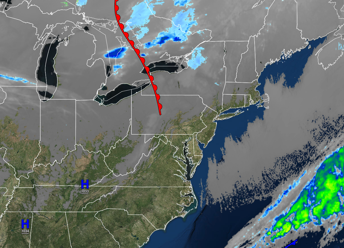
A cold front will move through the region with scattered clouds and isolated showers. Winds will veer to the west at 10 to 20 mph. Temperatures will rise into the upper 40s to lower 50s over the interior and mid to upper 50s along the coast for highs.
TUESDAY
A stalled cold front and waves of low pressure will produce cloudy skies and widely scattered showers. Winds will be from the southwest at 5 to 15 mph. Temperatures will range from the mid to upper 20s over the interior and lower to mid-30s along the coast for lows and mid to upper 40s over the interior, upper 40s to lower 50s in the New York City metropolitan area, and mid-50s to lower 60s in the Philadelphia metropolitan area for highs.
WEDNESDAY
A stationary front with waves of low pressure will produce cloudy skies and isolated to widely scattered showers. Temperatures will range from the mid to upper 20s over the interior and lower to mid-30s along the coast for lows and upper 30s to lower 40s over the interior and mid to upper 40s along the coast for highs.
THURSDAY
A strong area of low pressure will produce periods of rain for much of the region and a wintry mix of snow, sleet, and rain for the Poconos and Catskills. Temperatures will range from the lower to mid-30s in higher elevations, upper 30s to mid-40s in the interior, and lower to mid-40s along the coast for lows and upper 40s to lower 50s over the interior, mid-50s to lower 60s in the New York City metropolitan area, and mid-60s to mid-70s in the Philadelphia metropolitan areas for highs.
FRIDAY
High pressure will build into the region with scattered clouds. Temperatures will range from the upper 30s to lower 40s for lows and upper 40s to lower 50s over the interior, lower to mid-50s on the coast, and upper 50s to lower 60s in the Delaware River Valley for highs.
SATURDAY
An area of low pressure will produce periods of snow, sleet, and rain that will mix over to rain. Some minor snow accumulation is possible for elevations over 1,000 feet. Temperatures will range from the upper 10s to the lower 20s over the interior, lower to mid-20s in the New York City metropolitan area, and mid to upper 20s in the Philadelphia metropolitan area for lows and mid to upper 30s over the interior, upper 30s to mid-40s along the I-95 corridor, and mid-40s to lower 50s along the immediate coast.


