

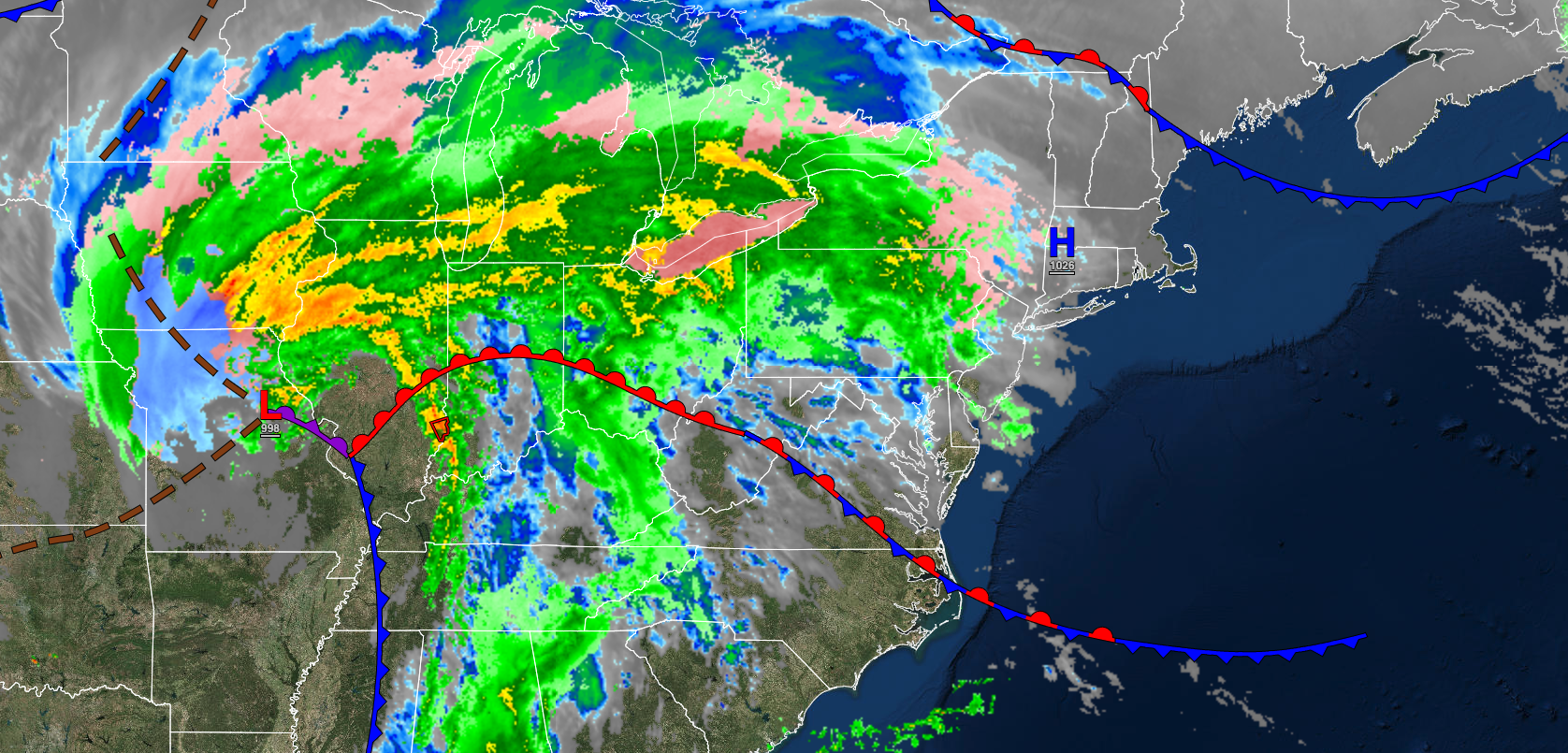
A warm front will produce cloudy skies and a few showers this morning. A coastal storm is a growing threat for Sunday evening followed by a mild pattern through next week.
TODAY
A warm front will produce cloudy skies and widely scattered showers this morning. Isolated showers will linger this afternoon and evening. Winds will be from the southeast at 5 to 15 mph. Temperatures will rise into the lower to mid-50s along the coast, mid to upper 50s over the interior, and upper 50s to lower 60s in the Delaware River Valley for highs.
TONIGHT
A cold front will approach with cloudy skies and isolated showers. Winds will be from the southwest at 5 to 15 mph. Temperatures will fall into the upper 30s to mid-40s over the interior and upper 40s to lower 50s along the coast for lows.
TOMORROW
A cold front will move through the region with cloudy skies and isolated showers. Winds will veer to the west at 5 to 15 mph. Temperatures will rise into the upper 40s to lower 50s over the interior and lower to mid-50s along the coast for highs.
TOMORROW NIGHT
A trough will linger over the region with scattered clouds and a few flurries. Winds will be from the northwest at 5 to 15 mph. Temperatures will fall into the mid to upper 20s over the interior and lower to mid-30s along the coast for lows.
SATURDAY
A trough will linger over the region with broken clouds and a few isolated showers. Winds will veer to the north at 5 to 15 mph. Temperatures will rise into the mid to upper 30s over the interior and lower to mid-40s along the coast for highs.
SUNDAY
An area of low pressure will approach the coastal waters with increasing clouds and rain in the afternoon and evening along the coast. Dry conditions are expected over the interior. Winds will veer to the northeast at 5 to 15 mph over the interior and 10 to 20 mph along the coast. Temperatures will range from the upper 20s to lower 30s for lows and lower to mid-40s for highs.
MONDAY
The area of low pressure will exit the region with rain in the morning along the coast followed by clearing skies. Windy conditions are expected. Temperatures will range from the upper 20s to mid-30s over the interior and mid to upper 30s along the coast for lows and mid to upper 40s over the interior, upper 40s to lower 50s along the coast, and lower to mid-50s in the Delaware River Valley for highs.
TUESDAY
A weak trough will produce scattered clouds. Temperatures will range from the upper 20s to lower 30s over the interior and lower to mid-30s along the coast for lows and upper 40s to lower 50s over the interior and lower to mid-50s along the coast for highs.
WEDNESDAY
A weak trough will produce scattered clouds. Temperatures will range from the lower to mid-30s for lows and lower to mid-50s over the interior, mid to upper 50s along the coast, and upper 50s to lower 60s in the Delaware River Valley for highs.
THURSDAY
An area of low pressure will approach with a warm front with periods of showers. Temperatures will range from the mid to upper 30s over the interior and lower to mid-40s along the coast for lows and upper 50s to lower 60s along the coast and lower to mid-60s away from the coast for highs.


