

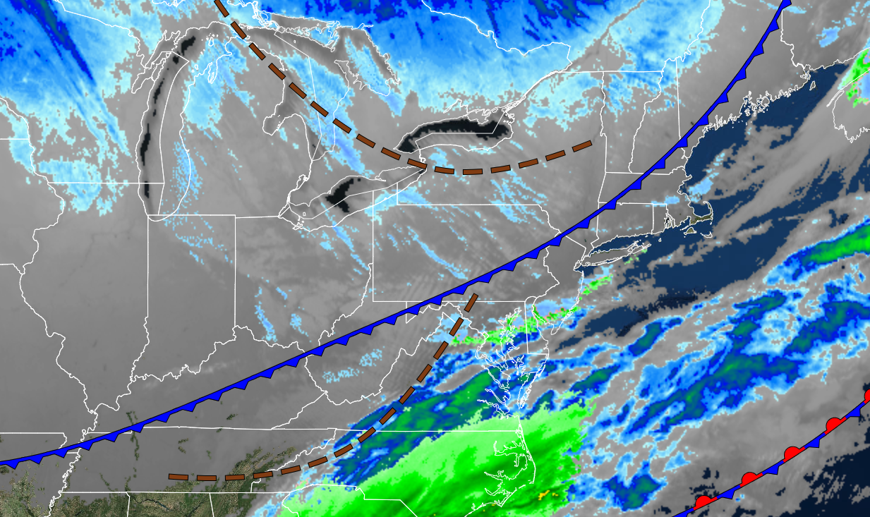
Arctic air is invading the region this morning with dangerous wind chills setting in this afternoon through tomorrow morning. Improving conditions rapidly return by Sunday.
TODAY
The arctic cold front will clear the region with widely scattered snow showers and flurries. Winds will be from the northwest at 10 to 20 mph with gusts over 30 mph. Temperatures will rise briefly into the mid to upper 10s over the interior, lower to mid-20s in the suburbs, and upper 20s to lower 30s in urban areas and along the coast for morning highs. Temperatures will fall through the 20s, 10s, and 0 in the afternoon and evening with wind chill temperatures falling below zero.
TONIGHT
A series of troughs will produce scattered clouds and a few flurries. Some ocean-effect snow is a threat to Long Island and southern New Jersey. Winds will be from the northwest at 10 to 20 mph with gusts up to 30 mph. Temperatures will crash into the single digits below zero to lower 10s for lows and wind chills below zero.
TOMORROW
High pressure will produce clear skies to scattered clouds. Winds will be from the northwest at 5 to 15 mph. Temperatures will rise into the lower to mid-20s over the interior and upper 20s to lower 30s along the coast for highs.
TOMORROW NIGHT
High pressure will pass over the region with clear skies. Winds will be light and variable. Temperatures will hold in the lower to mid-20s over the interior and upper 20s to lower 30s along the coast for lows.
SUNDAY
High pressure will pass off the coast with scattered clouds. Winds will be from the southwest at 5 to 15 mph. Temperatures will rise into the lower to mid-40s over the interior and mid to upper 40s along the coast for highs.
MONDAY
High pressure will produce scattered to broken cloud cover. Winds will be from the northwest at 5 to 10 mph. Temperatures will range from the upper 20s to lower 30s over the interior and lower to mid-30s along the coast for lows and mid-30s to lower 40s over the interior and mid-40s to lower 50s along the coast for highs.
TUESDAY
High pressure off the coast will produce cloudy skies. Temperatures will range from the mid to upper 20s for lows and mid to upper 40s over the interior and upper 40s to mid-50s along the coast for highs.
WEDNESDAY
An area of low pressure will approach the region with broken clouds and isolated showers. Temperatures will range from the mid to upper 30s over the interior and upper 30s to lower 40s along the coast for lows and upper 40s to lower 50s over the interior and mid-50s to lower 60s along the coast for highs.
THURSDAY
An area of low pressure will pass through the region with scattered showers. Temperatures will range from the upper 30s to lower 40s over the interior and lower to mid-40s along the coast for lows and lower to mid-50s over the interior and mid-50s to lower 60s along the coast for highs.
FRIDAY
A cold front will produce scattered clouds with scattered showers. Temperatures will range from the lower to mid-40s over the interior and upper 40s to lower 50s along the coast for lows and mid to upper 40s over the interior and lower to mid-50s along the coast for highs.


