

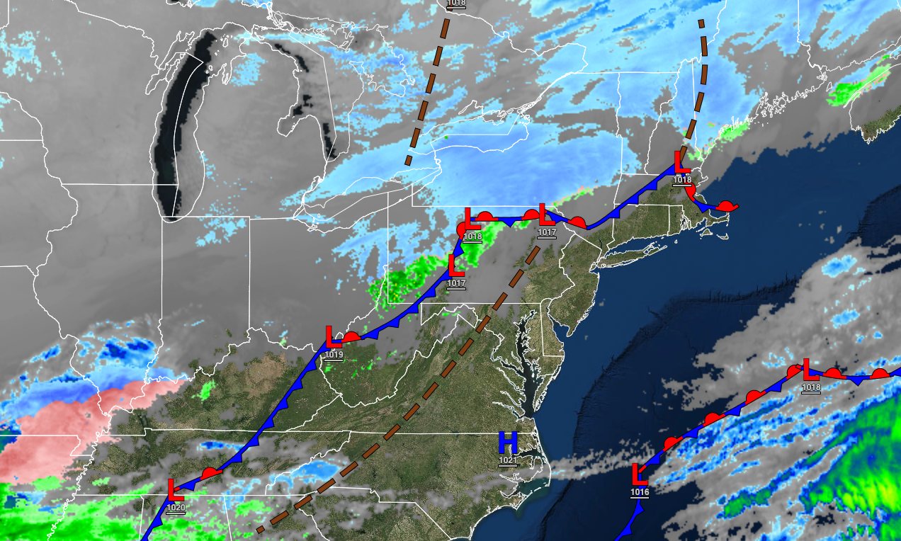
A series of cold fronts will bring colder weather and even a few snow showers before an arctic blast invades on Friday.
TONIGHT
The cold front will stall over the coastal waters with broken clouds and lingering isolated rain and snow showers. Winds will be from the northwest at 5 to 10 mph. Temperatures will fall into the lower to mid-20s over the interior and upper 20s to lower 30s along the coast for lows.
TOMORROW
A cold front will pass through the region with scattered clouds and flurries. Winds will be from the northwest at 5 to 15 mph. Temperatures will rise into the upper 20s to lower 30s over the interior and mid to upper 30s along the coast for highs.
TOMORROW NIGHT
A trough will pass through the region with scattered clouds and flurries. Winds will be from the northwest at 5 to 15 mph. Temperatures will fall into the upper 10s to the lower 20s over the interior and lower to mid-20s along the coast for lows.
WEDNESDAY
A series of troughs will pass through the region with scattered clouds and flurries. Winds will be from the northwest at 5 to 15 mph. Temperatures will rise into the lower to mid-30s over the interior and mid to upper 30s along the coast for highs.
THURSDAY
A series of troughs will produce scattered clouds and flurries. Winds will be from the southwest at 5 to 10 mph. Temperatures will range from the lower to mid-20s over the interior and mid to upper 20s along the coast for lows and upper 30s to lower 40s for highs.
FRIDAY
An arctic cold front will move through the region with scattered clouds and flurries. Temperatures will range from the mid-10s to lower 20s over the interior and mid to upper 20s along the coast for lows and upper 10s to mid-20s over the interior and upper 20s to lower 30s along the coast for highs.
SATURDAY
High pressure will produce clear skies to scattered clouds. Temperatures will range from the single digits below zero to lower 10s for lows and mid to upper 10s over the interior and upper 10s to the lower 20s along the coast for highs.
SUNDAY
High pressure will pass off the coast with scattered clouds. Temperatures will range from the mid to upper 1os over the interior and lower to mid-20s along the coast for lows and lower to mid-40s for highs.
MONDAY
High pressure will produce scattered to broken cloud cover. Temperatures will range from the mid to upper 20s over the interior and upper 20s to lower 30s along the coast for lows and lower to mid-40s for highs.
TUESDAY
High pressure off the coast will produce cloudy skies. Temperatures will range from the upper 20s to mid-30s for lows and lower to mid-50s over the interior and mid-50s to lower 60s along the coast for highs.


