

A series of storms are on the way that will signal the return of an active winter weather pattern that will bring snow, ice, and rain to the region.
TONIGHT
Clouds will increase as an area of low pressure will approach. Winds will be from the northwest at 5 to 15 mph. Temperatures will fall into the lower to mid-30s for lows.
TOMORROW
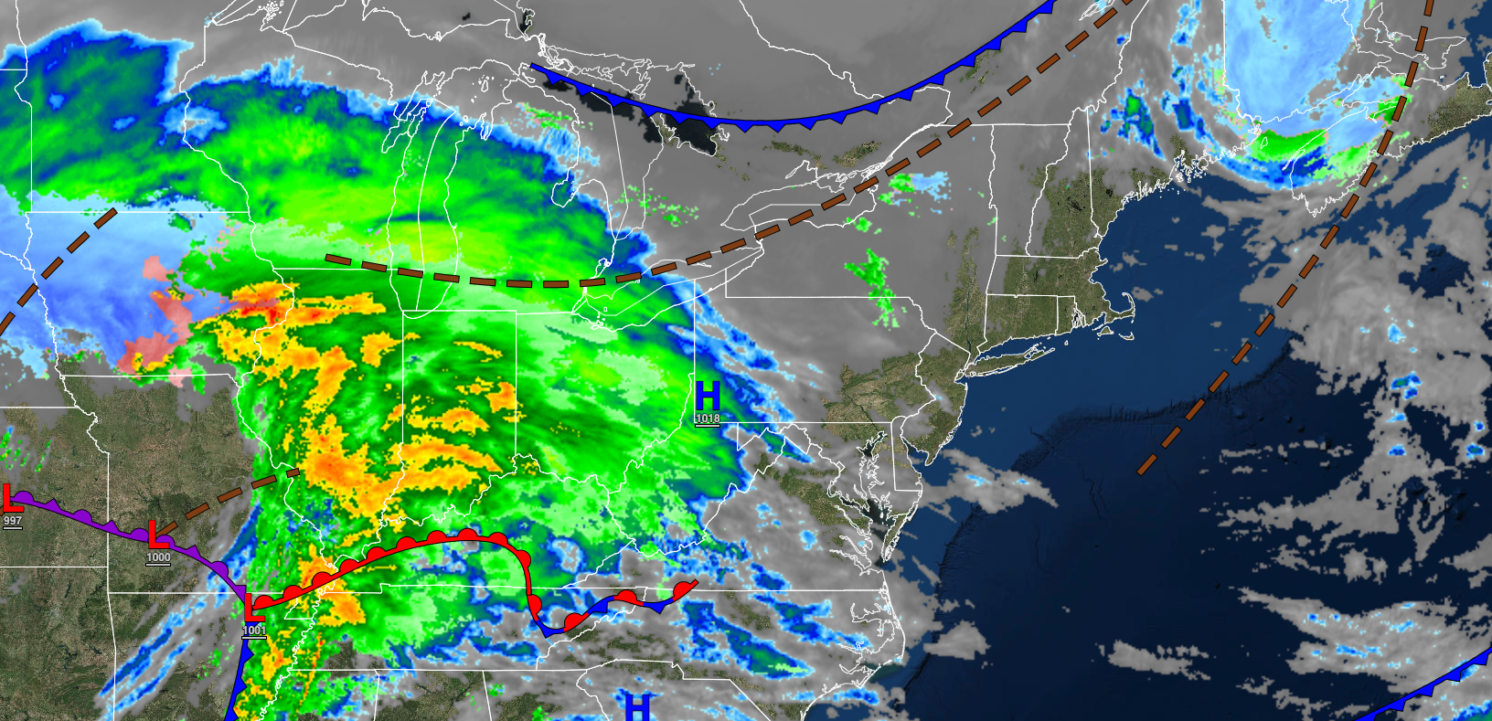
An area of low pressure will produce periods of rain for most of the region while a wintry mix of snow, ice, and rain can be expected for the Poconos, Catskills, northwestern New Jersey, Hudson River Valley, and northern Connecticut in the morning. Some minor snow and ice accumulation is a threat. Winds will veer to the southeast at 5 to 15 mph. Temperatures will rise into the lower to mid-40s over the interior and upper 40s to mid-50s along the coast for highs.
TOMORROW NIGHT
Periods of showers will exit the region. Winds will veer from the southeast to the southwest at 5 to 15 mph. Temperatures will fall into the mid to upper 30s over the interior and upper 30s to lower 40s along the coast for lows.
FRIDAY
High pressure will produce clear skies to scattered clouds. Winds will be from the west at 5 to 15 mph. Temperatures will rise into the upper 30s to lower 40s over the interior and mid to upper 40s along the coast for highs.
SATURDAY
High pressure will depart with increasing cloud cover. Winds will be from the northwest at 5 to 15 mph. Temperatures will range from the upper 20s to lower 30s over the interior and mid to upper 30s over the interior and lower to mid-40s along the coast for highs.
SUNDAY
Clouds will increase as an area of low pressure approaches the region. Winds will be from the southeast at 5 to 15 mph. Temperatures will range from the upper 20s to the lower 30s for lows and upper 30s to lower 40s over the interior and mid-40s to lower 50s along the coast for highs.
MONDAY
An area of low pressure will produce periods of rain in southern New Jersey, a wintry mix of snow, sleet, and rain for the I-95 corridor, and a wintry mix of snow and ice to the northwest of the I-95 corridor. Some snow and ice accumulation is expected. Temperatures will range from the mid to upper 20s over the interior and upper 20s to lower 30s along the coast for lows and lower to mid-30s over the interior and upper 30s to lower 40s along the coast for highs.
TUESDAY
Cloudy skies are expected. Temperatures will range from the lower to mid-20s over the interior and upper 20s to lower 30s along the coast for lows and upper 30s to lower 40s over the interior and lower to mid-40s along the coast for highs.
WEDNESDAY
An area of low pressure will produce periods of snow over the interior and a wintry mix of snow, sleet, and rain along the coast. Snow and ice accumulation are a threat. Temperatures will range from the upper 10s to the lower 20s over the interior and mid to upper 20s along the coast for lows and upper 20s to lower 30s over the interior, lower to mid-30s along the I-95 corridor, and mid to upper 30s over southern New Jersey for highs.
THURSDAY
A series of troughs will produce scattered clouds and snow showers. Temperatures will range from the upper 10s to the lower 20s over the interior and mid to upper 20s along the coast for lows and upper 20s to lower 30s over the interior and mid to upper 30s along the coast for highs.


