

An active weather pattern will be in place throughout the week with the threat of rain and snow returning to the region.
TODAY
High pressure will produce clear skies to scattered cloud cover. Winds will be from the northwest at 5 to 15 mph. Temperatures will rise into the lower to mid-40s over the interior and along the coast and mid to upper-40s in urban areas for highs.
TONIGHT
An area of low pressure will approach with increasing cloud cover. Winds will be from the northwest at 5 to 15 mph. Temperatures will fall into the lower to mid-20s over the interior and upper 20s to lower 30s along the coast for lows.
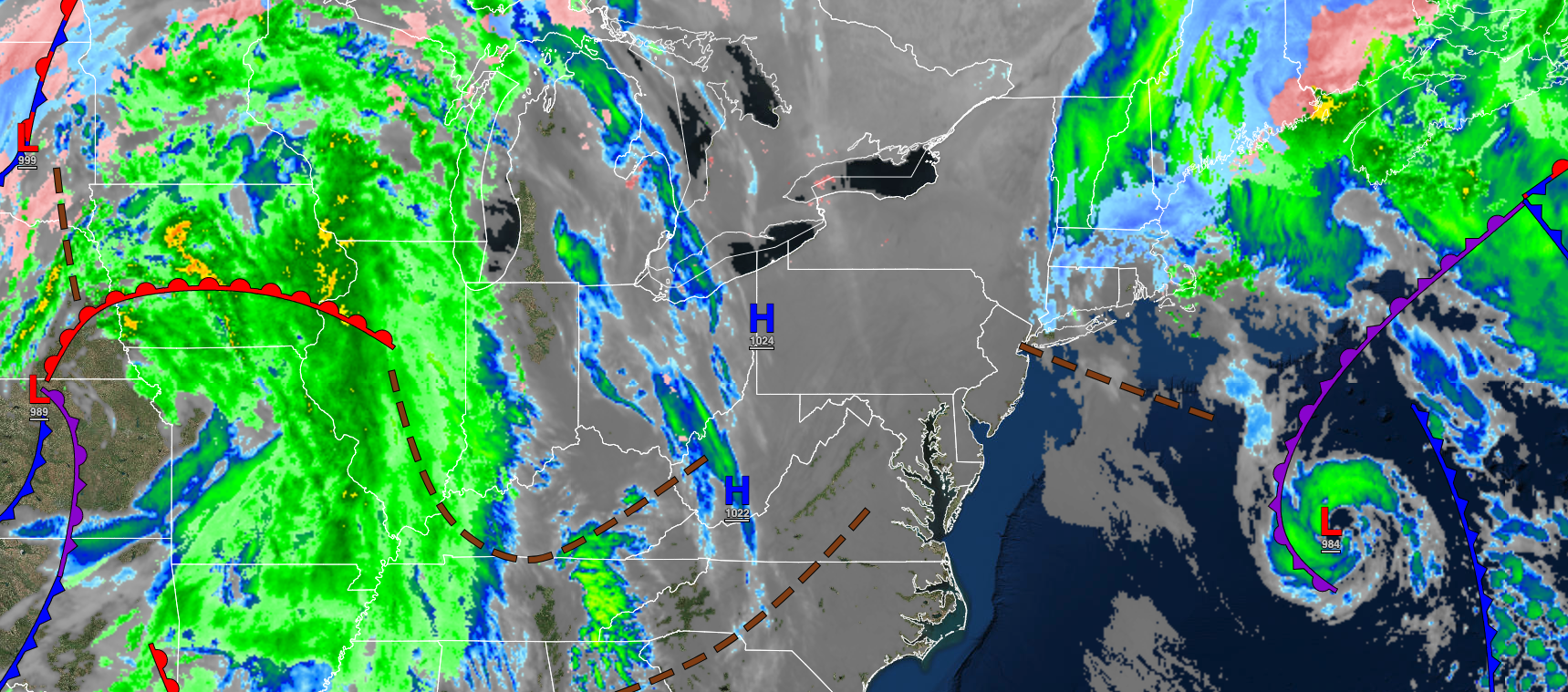
TOMORROW
An area of low pressure will pass through the region with a few lingering rain showers for most of the region and a mix of rain and snow showers over the interior. Winds will be from the southwest at 5 to 15 mph. Temperatures will rise into the mid to upper 40s for highs.
TOMORROW NIGHT
An area of low pressure will exit the region with a few lingering showers. Winds will be from the northwest at 5 to 15 mph. Temperatures will fall into the lower to mid-30s over the interior and upper 30s to lower 40s along the coast for lows.
WEDNESDAY
High pressure will build into the region with clearing skies expected. Winds will be from the northwest at 5 to 15 mph. Temperatures will rise into the lower to mid-40s over the interior and upper 40s to lower 50s along the coast for highs.
THURSDAY
An area of low pressure will produce periods of rain for most of the region while a wintry mix of snow, ice, and rain can be expected for the Poconos, Catskills, northwestern New Jersey, Hudson River Valley, and northern Connecticut. Some minor snow and ice accumulation is a threat. Winds will veer to the southeast at 5 to 15 mph. Temperatures will range from the lower to mid-30s for lows and lower to mid-40s over the interior and upper 40s to mid-50s along the coast for highs.
FRIDAY
High pressure will produce clear skies to scattered clouds. Temperatures will range from the mid to upper 30s over the interior and upper 30s to lower 40s along the coast for lows and upper 30s to lower 40s over the interior and mid to upper 40s along the coast for highs.
SATURDAY
High pressure will depart with increasing cloud cover. Temperatures will range from the upper 20s to lower 30s over the interior and mid to upper 30s over the interior and lower to mid-40s along the coast for highs.
SUNDAY
An area of low pressure will approach with periods of rain along the coast and a wintry mix of snow, ice, and rain over the interior in the afternoon and evening hours. Temperatures will range from the upper 20s to the lower 30s for lows and upper 30s to lower 40s over the interior and mid-40s to lower 50s along the coast for highs.
MONDAY
The area of low pressure will exit the region with periods of rain along the coast and a wintry mix of snow and rain over the interior in the morning followed by clearing skies. Temperatures will range from the lower to mid-30s for lows and upper 30s to lower 40s over the interior and mid to upper 40s along the coast for highs.


