

Lingering clouds and a few flurries will mark the rest of the cold air to the region tonight through tomorrow.
TONIGHT
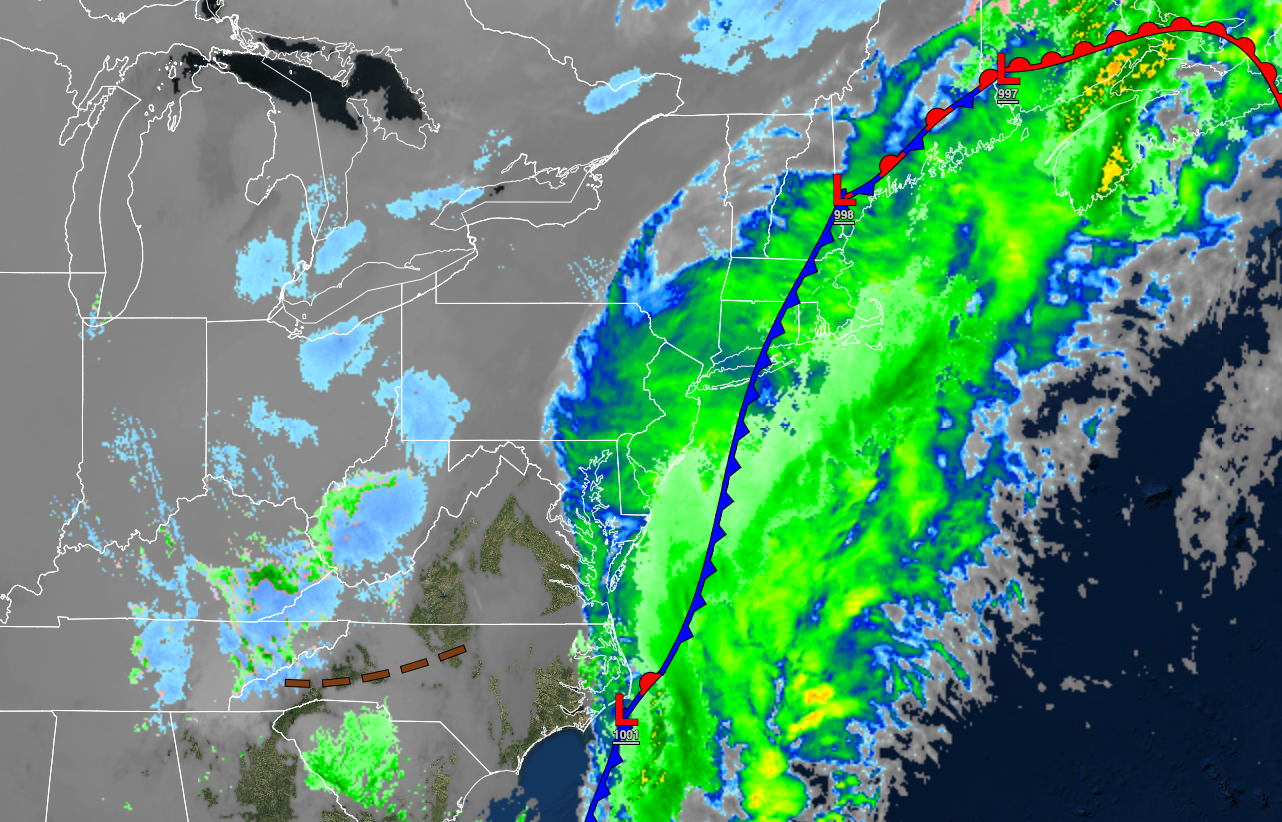
A developing area of low pressure over the coastal waters will produce broken to overcast cloud cover and a few flurries. Winds will be from the northwest at 10 to 20 mph. Temperatures will fall into the lower to mid-20s over the interior and upper 20s to lower 30s along the coast for lows.
TOMORROW
An area of low pressure will pass through the coastal waters with scattered clouds and isolated rain and snow showers. Winds will be from the northwest at 5 to 15 mph. Temperatures will rise into the upper 20s to lower 30s over the interior and mid to upper 30s along the coast for highs.
TOMORROW NIGHT
High pressure will produce scattered clouds. Winds will be from the northwest at 5 to 15 mph. Temperatures will fall into the upper 10s to mid-20s over the interior and upper 20s to lower 30s along the coast for lows.
SUNDAY
High pressure will produce scattered clouds. Winds will be from the northwest at 5 to 15 mph. Temperatures will rise into the mid to upper 30s over the interior and upper 30s to lower 40s along the coast for highs.
MONDAY
High pressure will produce scattered clouds. Winds will be from the northwest at 5 to 15 mph. Temperatures will range from the upper 10s to the lower 20s over the interior and lower to mid-20s along the coast for lows and lower to mid-40s over the interior and mid to upper 40s along the coast for highs.
TUESDAY
Periods of showers can be expected. Temperatures will range from the lower to mid-20s over the interior and upper 20s to lower 30s along the coast for lows and mid to upper 40s for highs.
WEDNESDAY
High pressure will produce scattered to broken cloud cover. Temperatures will range from the lower to mid-30s over the interior and upper 30s to lower 40s along the coast for lows and lower to mid-40s over the interior and upper 40s to lower 50s along the coast for highs.
THURSDAY
An area of low pressure will produce periods of rain for most of the region. A wintry mix of snow, ice, and rain can be expected in the Poconos and Catskills. Temperatures will range from the upper 20s to lower 30s over the interior and lower to mid-30s along the coast for lows and lower to mid-40s over the interior and upper 40s to mid-50s along the coast for highs.
FRIDAY
The cold front will clear the region with rain in the morning followed by clearing skies in the afternoon. Temperatures will range from the lower to mid-30s over the interior and upper 30s to mid-40s along the coast for lows and mid-30s to lower 40s over the interior and mid to upper 40s along the coast for highs.
SATURDAY
High pressure will produce clear skies to scattered clouds. Temperatures will range from the upper 20s to lower 30s for lows and upper 30s to lower 40s over the interior and lower to mid-40s along the coast for highs.


