

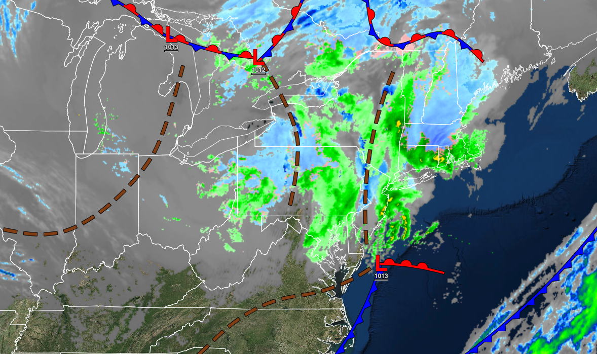
A series of troughs will keep the threat of rain and snow showers in the forecast through the weekend as a more seasonable weather pattern returns.
TODAY
A series of troughs will pass through the region with rain and snow showers. Winds will be from the west at 5 to 15 mph. Temperatures will rise into the upper 30s to lower 40s over the interior and lower to mid-40s along the coast for highs.
TONIGHT
A trough will produce a few flurries and scattered clouds. Winds will be from the west at 5 to 15 mph. Temperatures will fall into the mid to upper 20s over the interior and lower to mid-30s along the coast for lows.
TOMORROW
A series of troughs will produce scattered clouds and flurries. Winds will be from the west at 5 to 15 mph. Temperatures will rise into the mid to upper 30s over the interior and lower to mid-40s along the coast for highs.
TOMORROW NIGHT
High pressure will produce scattered clouds. Winds will be from the northwest at 5 to 10 mph. Temperatures will fall into the upper 10s to the lower 20s over the interior and mid to upper 20s along the coast for lows.
SUNDAY
An area of low pressure will approach with increasing clouds throughout the day followed by periods of snow and rain showers in the evening. Winds will back from the northwest to the southeast at 5 to 10 mph. Temperatures will rise into the mid to upper 30s for highs.
MONDAY
An area of low pressure will exit the region with rain and snow showers in the morning followed by clearing skies. Snow accumulation of a trace to 2″ are possible on cold surfaces. Winds will be from the west-southwest at 5 to 10 mph. Temperatures will range from the lower to mid-30s for lows and lower to mid-40s for highs.
TUESDAY
High pressure will produce scattered clouds. Temperatures will range from the mid to upper 20s for lows and lower to mid-40s over the interior and mid to upper 40s along the coast for highs.
WEDNESDAY
High pressure will produce clear skies to scattered clouds. Temperatures will range from the upper 20s to the lower 30s for lows and lower to mid-30s over the interior and upper 30s to mid-40s along the coast for highs.
THURSDAY
A series of troughs will produce scattered clouds and flurries. Temperatures will range from the lower to mid-10s over the interior and upper 10s to lower 20s along the coast for lows and mid to upper 20s over the interior and lower to mid-30s along the coast for highs.
FRIDAY
An area of low pressure will produce periods of snow showers. Temperatures will range from the lower to mid-10s over the interior and upper 10s to lower 20s along the coast for lows and lower to mid-30s for highs.


