

Showers and fog will be a threat through tomorrow. A cold front follows by the end of the week with a shift towards a colder weather pattern by the weekend.
TONIGHT
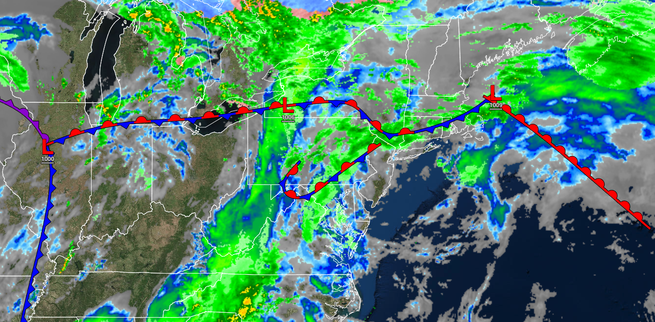
A stationary front will produce areas of dense fog, scattered showers, and drizzle. Winds will be from the southwest at 5 to 15 mph. Temperatures will fall into the lower to mid-50s for lows.
TOMORROW
An occluded front will approach with periods of showers. Winds will be from the southwest at 5 to 15 mph. Temperatures will rise into the upper 50s to lower 60s over the interior and lower to mid-60s along the coast for highs.
TOMORROW NIGHT
An area of low pressure will produce overcast skies and scattered showers, mixing with some snow in the Poconos and Catskills. Winds will be from the west at 5 to 15 mph. Temperatures will slowly fall through the 50s, 40s, and 30s.
THURSDAY
The low-pressure system will track through the region with scattered showers, mixing with some snow in the Poconos and Catskills. Winds will be from the west at 5 to 15 mph. Temperatures will slowly fall through the 50s, 40s, and 30s.
FRIDAY
A series of troughs will produce rain and snow showers. Winds will be from the west at 5 to 15 mph. Temperatures will range from the lower to mid-30s over the interior and upper 30s to lower 40s along the coast for lows and upper 30s to lower 40s over the interior and mid to upper 40s along the coast for highs.
SATURDAY
A series of troughs will produce widely scattered snow showers. Winds will be from the west at 5 to 15 mph. Temperatures will range from the mid to upper 20s over the interior and upper 20s to lower 30s along the coast for lows and mid to upper 30s over the interior and lower to mid-40s along the coast for highs.
SUNDAY
High pressure will produce scattered clouds. Temperatures will range from the lower to mid-20s over the interior and mid to upper 20s along the coast for lows and upper 30s to lower 40s for highs.
MONDAY
An area of low pressure will produce rain and snow showers. Temperatures will range from the lower to mid-30s for lows and lower to mid-40s for highs.
TUESDAY
High pressure will produce scattered clouds. Temperatures will range from the lower to mid-20s over the interior and upper 20s to lower 30s along the coast for lows and mid to upper 30s over the interior and lower to mid-40s along the coast for highs.


