

One of the coldest Christmas Days in years can be expected but milder weather is on the way.
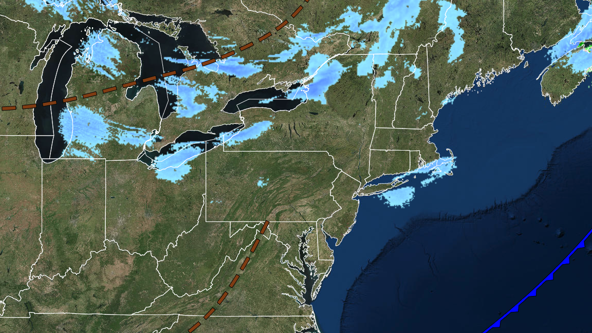
TODAY
A series of troughs will move through the region with scattered snow showers. Winds will be from the west at 10 to 20 mph with gusts up to 40 mph. Temperatures will rise into the mid to upper 10s over the interior and lower to mid-20s along the coast for highs. Wind chill temperatures will be in the single digits below zero to above zero.
TONIGHT
High pressure will produce scattered clouds. Winds will be from the west at 10 to 20 mph. Temperatures will fall into the single digits to lower 10s over the interior and mid to upper 10s along the coast for lows.
TOMORROW
High pressure will produce scattered clouds. Winds will be from the west at 5 to 15 mph. Temperatures will rise into the upper 10s to the lower 20s over the interior and mid to upper 20s along the coast for highs.
TOMORROW NIGHT
High pressure will produce clear skies to scattered clouds. Winds will be from the west at 5 to 10 mph. Temperatures will fall into the upper 10s t0 the lower 20s over the interior and lower to mid-20s along the coast for lows.
TUESDAY
High pressure will move through the region with scattered clouds. Winds will be from the west at 5 to 15 mph. Temperatures will rise into the upper 20s to mid-30s for highs.
WEDNESDAY
An area of low pressure will produce scattered clouds and a few flurries. Temperatures will range from the single digits to mid-10s over the interior and upper 10s to mid-20s along the coast for lows and mid to upper 30s for highs.
THURSDAY
High pressure will produce scattered clouds. Temperatures will range from the mid to upper 20s for lows and upper 30s to lower 40s over the interior and lower to mid-40s along the coast for highs.
FRIDAY
High pressure will produce scattered clouds. Temperatures will range from the upper 20s to lower 30s for lows and upper 40s to lower 50s for highs.
SATURDAY
High pressure will produce scattered clouds. Temperatures will range from the mid to upper 30s for lows and upper 40s to lower 50s for highs.
SUNDAY
A cold front will produce periods of showers. Temperatures will range from the upper 40s to lower 50s for lows and upper 50s to lower 60s for highs.


