

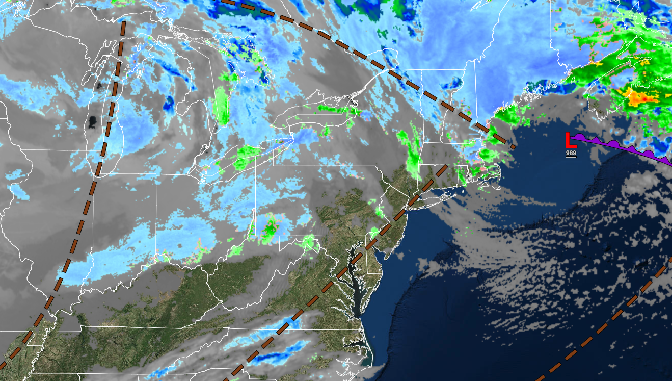
Pesky troughs will support the threat of a few snow showers and flurries through today. A cold tranquil start to next week is on the way, but a stormy end to the week is likely.
TODAY
A series of troughs will pass through the region with scattered clouds. A few flurries are possible throughout the day. Winds will back to the west at 10 to 20 mph. Temperatures will rise into the lower to mid-30s over the interior and upper 30s to lower 40s along the coast for highs.
TONIGHT
High pressure will produce scattered clouds. Winds will be from the west at 5 to 15 mph. Temperatures will fall into the lower to mid-10s over the interior, upper 10s to mid-20s in the suburbs, and mid to upper 20s along the coast for lows.
TOMORROW
High pressure will produce scattered clouds. Winds will be from the west at 5 to 15 mph. Temperatures will rise into the upper 20s to lower 30s over the interior and mid to upper 30s along the coast for highs.
TOMORROW NIGHT
High pressure will produce scattered clouds. Winds will be from the west at 5 to 15 mph. Temperatures will fall into the upper 10s to the lower 20s over the interior and lower to mid-20s along the coast for lows.
MONDAY
High pressure will produce clear skies to scattered clouds. Winds will be from the west at 5 to 15 mph. Temperatures will rise into the lower to mid-30s over the interior and mid to upper 30s along the coast for highs.
TUESDAY
Scattered clouds are expected. Winds will be from the west at 5 to 15 mph. Temperatures will range from the mid to upper 10s over the interior and lower to mid-20s along the coast for lows and lower to mid-30s over the interior and mid to upper 30s along the coast for highs.
WEDNESDAY
Scattered clouds are expected. Temperatures will range from the single digits to upper 10s over the interior and lower to mid-20s along the coast for lows and mid to upper 20s over the interior and lower to mid-30s along the coast for highs.
THURSDAY
A powerful arctic cold front and an area of low pressure to the south will approach the region with increasing clouds in the morning followed by snow, sleet, and rain in the afternoon and evening. Temperatures will range from the lower to mid-10s over the interior, upper 10s to mid-20s in the suburbs, and mid to upper 20s along the coast for lows and upper 20s to lower 30s over the interior, and lower to mid-30s along the coast.
FRIDAY
An arctic cold front and area of low pressure will move through the region with periods of snow, sleet, and rain. Temperatures will rise into the upper 30s to mid-40s over the interior and mid to upper 40s along the coast for highs before falling through the 30s, 20s, and 10s.
SATURDAY
A series of troughs will produce scattered snow showers. Temperatures will range from the single digits over the interior and lower to mid-10s along the coast for lows and lower to mid-10s over the interior and upper 10s to mid-20s along the coast for highs.


