

Quiet, chilly conditions tonight will give way to an impressive period of rain and wind on Wednesday. Timing will be the key factor for Wednesday night’s tree lighting in Rockefeller Center.
TONIGHT
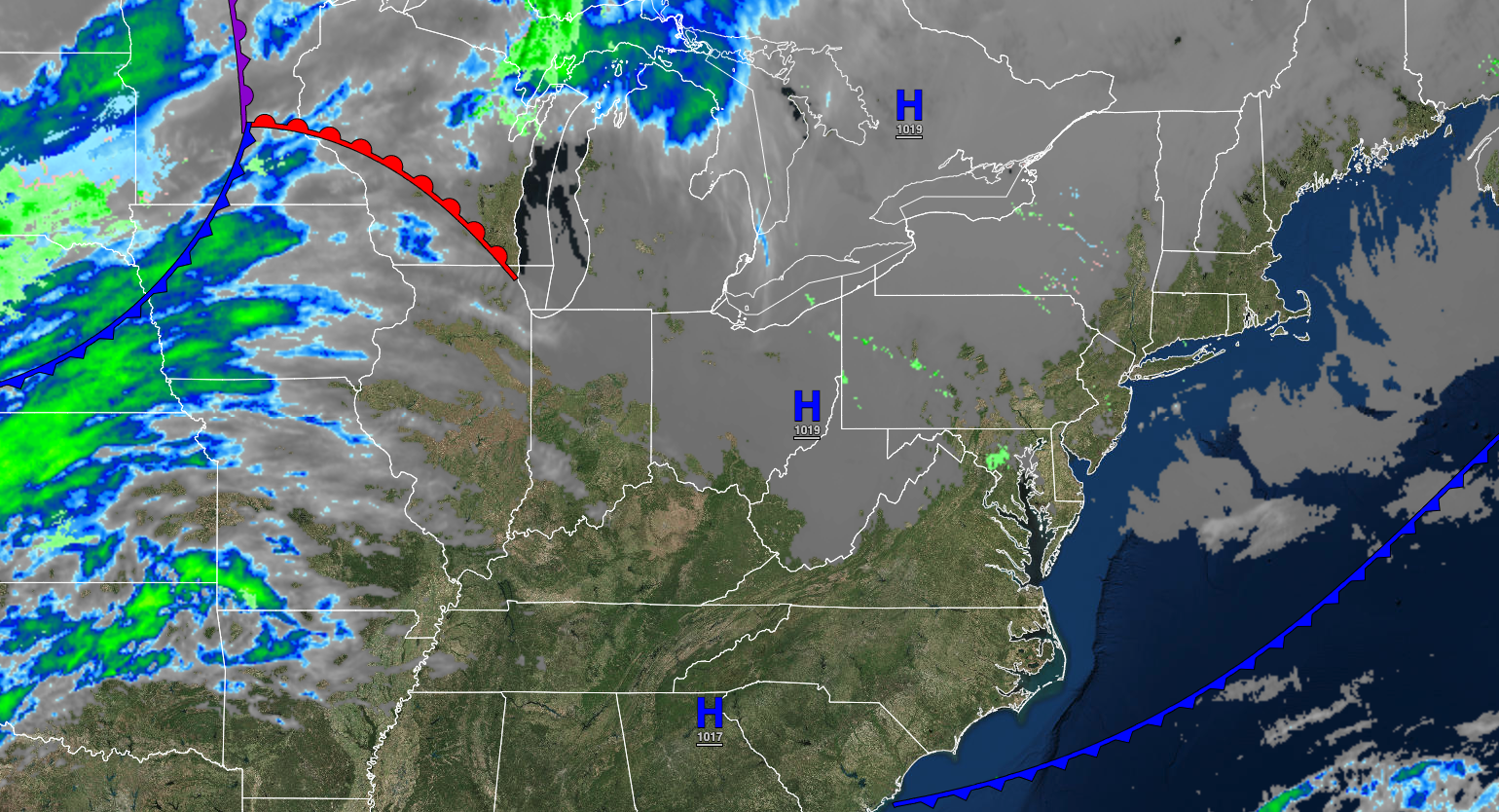
High pressure will be in control with clear skies to scattered clouds. Winds will veer from the northwest to the northeast at 5 to 15 mph. Temperatures will fall into the upper 20s to lower 30s over the interior and lower to mid-30s along the coast for lows.
TOMORROW
High pressure will be in control with scattered clouds. Winds will veer to the east at 5 to 15 mph. Temperatures will rise into the lower to mid-40s for highs.
TOMORROW NIGHT
High pressure will exit the region with increasing clouds. Winds will veer to the southeast at 5 to 15 mph. Temperatures will fall into the mid to upper 30s over the interior and upper 30s to lower 40s along the coast for lows.
WEDNESDAY
A cold front will move through the region with periods of rain, heavy at times, in the afternoon and evening. Winds will be from the south at 10 to 20 mph with gusts over 25 mph. Temperatures will rise into the lower to mid-50s over the interior and mid to upper 50s along the coast for highs.
ROCKEFELLER TREE LIGHTING
Rain will exit between 6 and 8 PM followed by clearing skies and winds veering to the west at 10 to 20 mph with gusts up to 30 mph. Temperatures will be falling through the 40s.
THURSDAY
High pressure will produce clear skies to scattered clouds. Winds will be from the west at 10 to 20 mph. Temperatures will range from the upper 20s to lower 30s over the interior and mid to upper 30s along the coast for lows and lower to mid-30s over the interior and upper 30s to lower 40s along the coast for highs.
FRIDAY
High pressure will produce clear skies to scattered clouds. Temperatures will range from the lower to mid-20s over the interior and upper 20s to lower 30s along the coast for lows and mid to upper 30s over the interior and upper 30s to lower 40s along the coast for highs.
SATURDAY
A strong cold front will move through the region with periods of showers, heavy at times. Temperatures will range from the lower to mid-40s for lows and lower to mid-50s for highs.
SUNDAY
High pressure will build into the region with clearing skies. Temperatures will range from the upper 20s to lower 30s over the interior and mid to upper 30s along the coast for lows and mid to upper 30s over the interior and lower to mid-40s along the coast for highs.
MONDAY
High pressure will produce clear skies to scattered clouds. Temperatures will range from the mid to upper 20s over the interior and lower to mid-30s along the coast for lows and mid to upper 30s over the interior and lower to mid-40s along the coast for highs.
TUESDAY
A cold front will produce scattered showers. Temperatures will range from the mid to upper 30s for lows and upper 40s to lower 50s for highs.


