

Excellent weather today will give way to a significant rainstorm by tomorrow. An active weather pattern will continue into next week.
TODAY
High pressure will produce clear skies to scattered clouds. Winds will be from the northwest at 5 to 15 mph. Temperatures will rise into the mid to upper 40s over the interior and upper 40s to lower 50s along the coast for highs.
TONIGHT
High pressure will exit the region with increasing clouds. Winds will be from the southwest at 5 to 15 mph. Temperatures will fall into the upper 30s to lower 40s for lows.
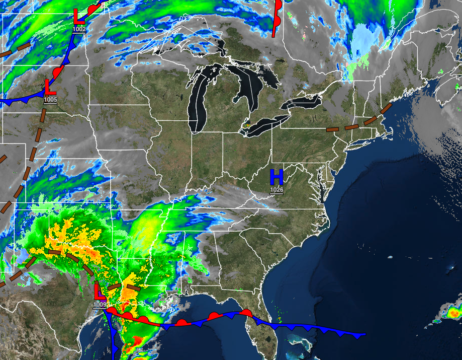
TOMORROW
An area of low pressure and a strong cold front will produce periods of rain in the afternoon and evening. Winds will be from the southwest at 10 to 20 mph. Temperatures will rise into the upper 40s to mid-50s over the interior and upper 50s to lower 60s along the coast for highs.
TOMORROW NIGHT
Rain will exit in the evening with clearing skies after midnight. Winds will veer to the northwest at 5 to 15 mph. Temperatures will fall into the lower to mid-40s over the interior and upper 40s to lower 50s along the coast for lows.
MONDAY
High pressure will produce clear skies to scattered clouds. Winds will be from the northwest at 5 to 15 mph. Temperatures will rise into the mid to upper 40s over the interior and lower to mid-50s along the coast for highs.
TUESDAY
High pressure will produce clear skies to scattered clouds. Winds will be from the southeast at 5 to 15 mph. Temperatures will range from the upper 20s to lower 30s over the interior and lower to mid-30s along the coast for lows and lower to mid-40s over the interior and mid to upper 40s along the coast for highs.
WEDNESDAY
High pressure will exit the region with increasing clouds. Rain will develop in the evening and overnight hours. Temperatures will range from the mid to upper 30s over the interior and lower to mid-40s along the coast for lows and upper 40s to lower 50s over the interior and mid to upper 50s along the coast for highs.
THURSDAY
A strong cold front will exit the region with periods of rain in the morning followed by clearing skies. Temperatures will range from the upper 20s to lower 30s over the interior and mid to upper 30s along the coast for lows and mid to upper 30s over the interior and lower to mid-40s along the coast for highs.
FRIDAY
High pressure will produce clear skies to scattered clouds. Temperatures will range from the lower to mid-20s over the interior and upper 20s to lower 30s along the coast for lows and upper 30s to lower 40s over the interior and lower to mid-40s along the coast for highs.
SATURDAY
A warm front will approach with increasing clouds. Temperatures will range from the lower to mid-30s over the interior and upper 30s to mid-40s along the coast for lows and upper 40s to lower 50s over the interior and lower to mid-50s along the coast for highs.


