

Excellent weather will be in place through Thanksgiving, but the threat of heavy rain and strong winds return by this weekend.
TODAY
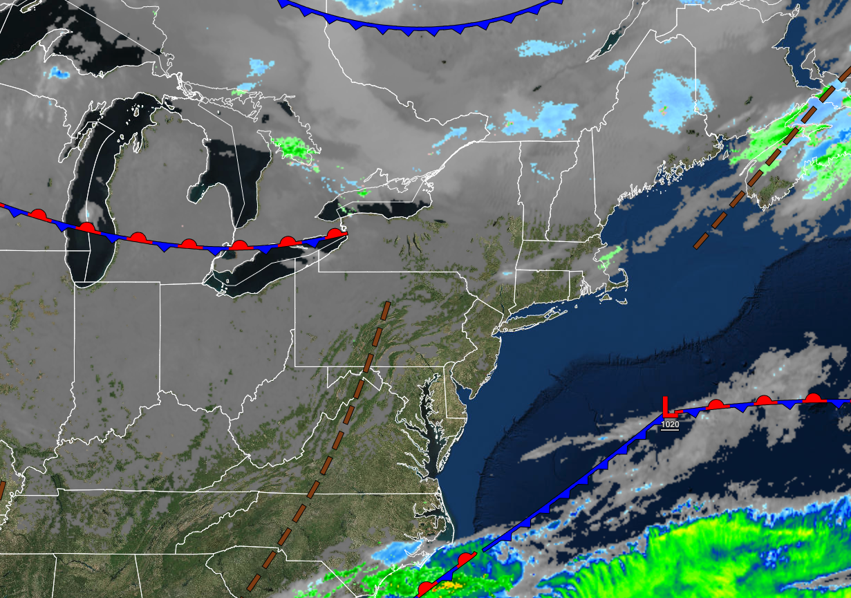
High pressure will produce clear skies to scattered clouds. Winds will be from the southwest at 5 to 15 mph. Temperatures will rise into the lower to mid-40s over the interior and upper 40s to lower 50s along the coast for highs.
TONIGHT
High pressure will produce clear skies to scattered clouds. Winds will be from the southwest at 5 to 15 mph. Temperatures will fall into the upper 20s to lower 30s over the interior and lower to mid-30s along the coast for lows.
THANKSGIVING
High pressure will exit the region with increasing clouds. Winds will veer to the east at 5 to 15 mph. Temperatures will range from the upper 20s to lower 30s over the interior and lower to mid-30s along the coast for lows and lower to mid-40s over the interior and upper 40s to lower 50s along the coast for highs.
TOMORROW NIGHT
Clouds will increase with winds veering from the northeast to southwest at 5 to 15 mph. Temperatures will fall into the lower to mid-30s over the interior and mid to upper 30s along the coast for lows.
BLACK FRIDAY
A cold front will move through the region with overcast skies and widespread showers. The showers will be capable of heavy downpours at times. Winds will back to the southwest at 5 to 15 mph. Temperatures will rise into the upper 30s to mid-40s over the interior and upper 40s to lower 50s along the coast for highs.
SATURDAY
High pressure will build into the region with scattered cloud cover. Winds will be from the southwest at 5 to 15 mph. Temperatures will range from lower to mid-30s over the interior and mid to upper 30s along the coast for lows and mid to upper 40s for highs.
SUNDAY
An area of low pressure will produce periods of rain, heavy at times, with windy conditions. Temperatures will range from the mid to upper 30s over the interior and lower to mid-40s along the coast for lows and mid-40s to lower 50s over the interior and mid-50s to lower 60s along the coast for highs.
MONDAY
An area of low pressure will exit the region with lingering rain and snow showers followed by clearing skies. Temperatures will range from the lower to mid-30s over the interior and upper 30s to lower 40s along the coast for lows and upper 30s to lower 40s over the interior and lower to mid-40s along the coast for highs.
TUESDAY
High pressure will produce clear skies. Temperatures will range from the lower to mid-20s over the interior and upper 20s to lower 30s along the coast for lows and mid to upper 30s over the interior and upper 30s to lower 40s along the coast for highs.
WEDNESDAY
High pressure will produce clear skies to scattered clouds. Temperatures will range from the mid to upper 20s over the interior and upper 20s to lower 30s along the coast for lows and mid to upper 40s over the interior and lower to mid-50s along the coast for highs.


