

Chilly conditions and the threat of a few snow flurries will linger through the weekend. A storm threat is developing for the Thanksgiving weekend.
TODAY
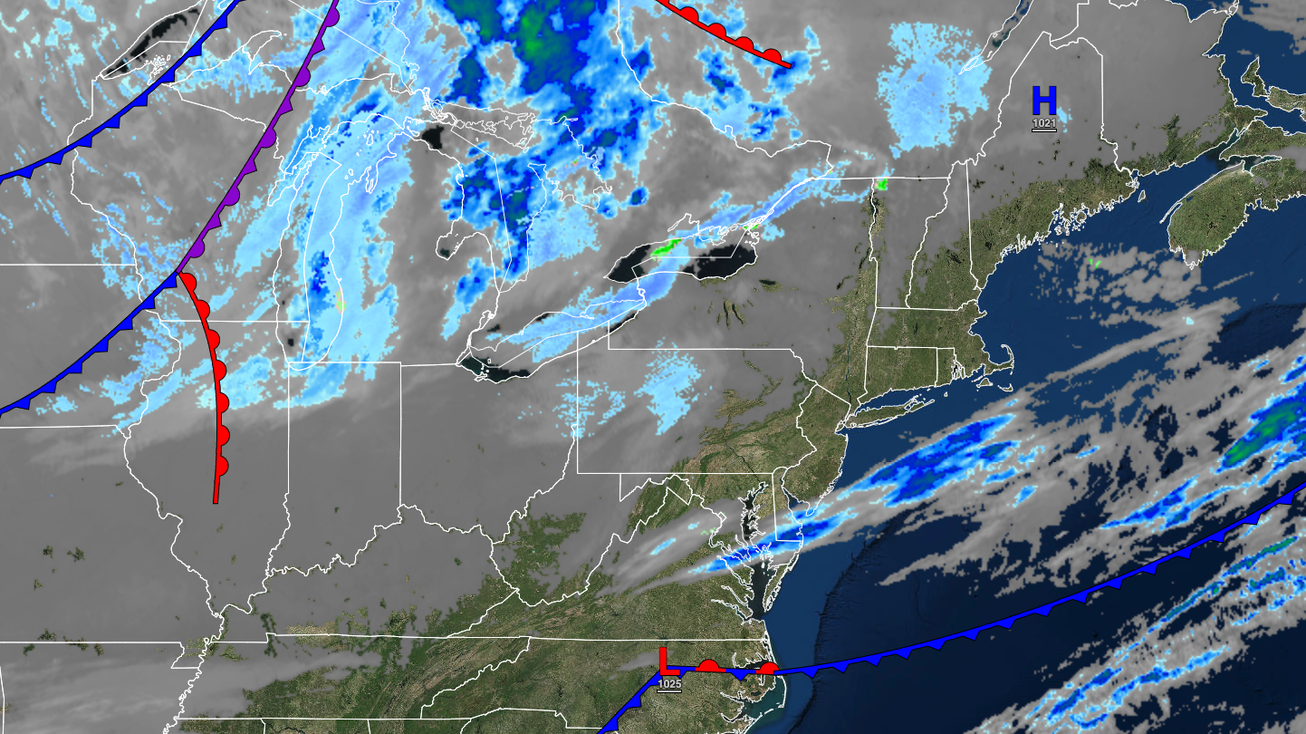
High pressure will exit the region with increasing clouds. Winds will be from the southwest at 5 to 15 mph. Temperatures will rise into the lower to mid-30s over the interior and upper 30s to lower 40s along the coast for highs.
TONIGHT
High pressure will produce clear skies to scattered clouds. Winds will be from the southwest at 5 to 15 mph. Temperatures will fall into the lower to mid-20s over the interior and upper 20s to lower 30s along the coast for lows.
TOMORROW
A trough will pass through the region with a few isolated rain and snow showers and scattered clouds. Winds will be from the southwest at 10 to 20 mph. Temperatures will rise into the upper 20s to lower 30s over the interior and mid to upper 30s along the coast for highs.
TOMORROW NIGHT
High pressure will produce clear skies to scattered clouds. Winds will be from the southwest at 5 to 15 mph. Temperatures will fall into the upper 10s to the lower 20s over the interior and mid to upper 20s along the coast for lows.
MONDAY
High pressure will produce clear skies to scattered clouds. Winds will be from the southwest at 5 to 15 mph. Temperatures will rise into the upper 30s to lower 40s for highs.
TUESDAY
High pressure will produce clear skies to scattered clouds. Winds will be from the southwest at 5 to 15 mph. Temperatures will range from the mid to upper 20s over the interior and lower to mid-30s along the coast for lows and lower to mid-40s over the interior and upper 40s to lower 50s along the coast for highs.
WEDNESDAY
High pressure will exit the region. Temperatures will range from the lower to mid-30s for lows and mid to upper 40s over the interior and lower to mid-50s along the coast for highs.
THANKSGIVING
A warm front will approach the region with increasing clouds. Temperatures will range from the upper 20s to lower 30s over the interior and mid to upper 30s along the coast for lows and lower to mid-50s for highs.
BLACK FRIDAY
An area of low pressure will lift through the region with periods of rain, heavy at times, and windy conditions. Temperatures will range from the upper 30s to lower 40s over the interior and mid to upper 40s along the coast for lows and upper 40s to lower 50s over the interior and mid to upper 50s along the coast for highs.
SATURDAY
The area of low pressure will exit the region with rain in the morning giving way to clearing skies. Temperatures will range from the mid to upper 30s over the interior and lower to mid-40s along the coast for lows and lower to mid-40s over the interior and upper 40s to lower 50s along the coast for highs.


